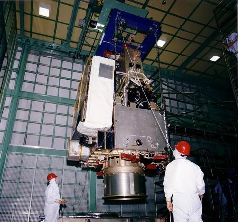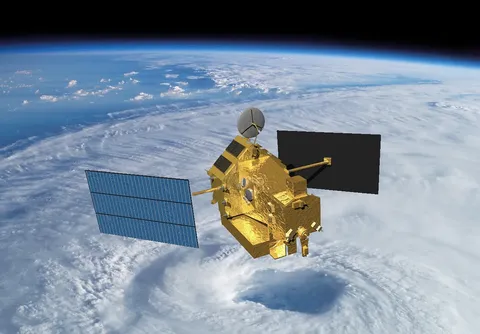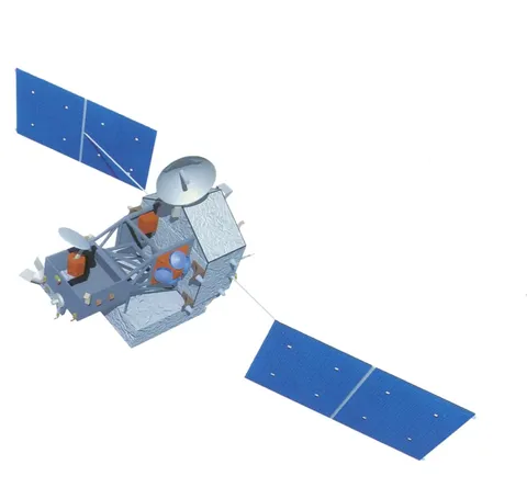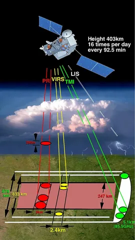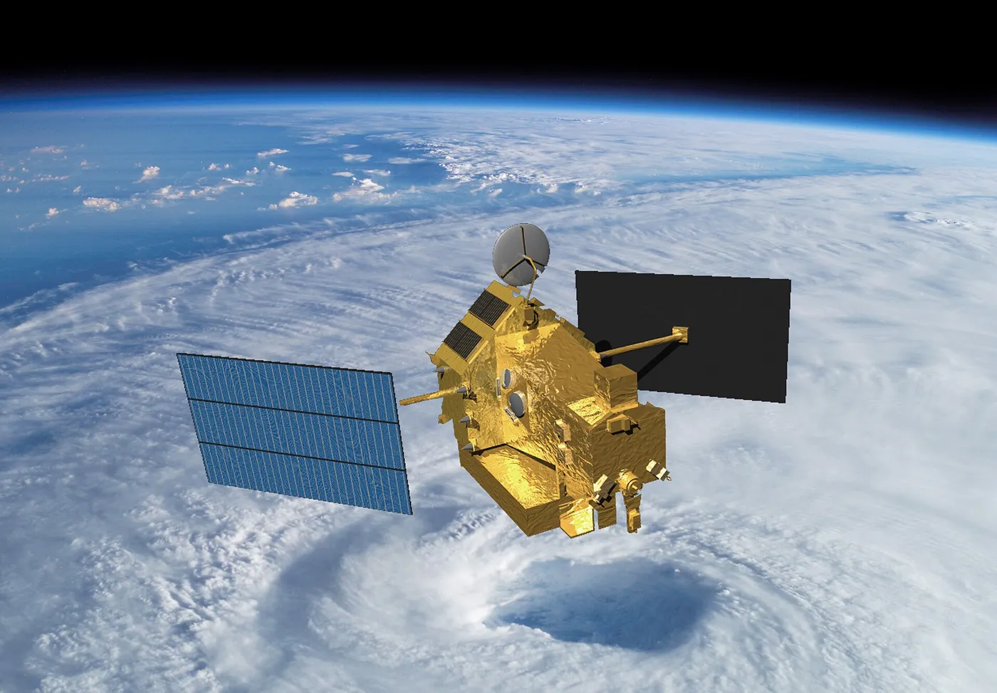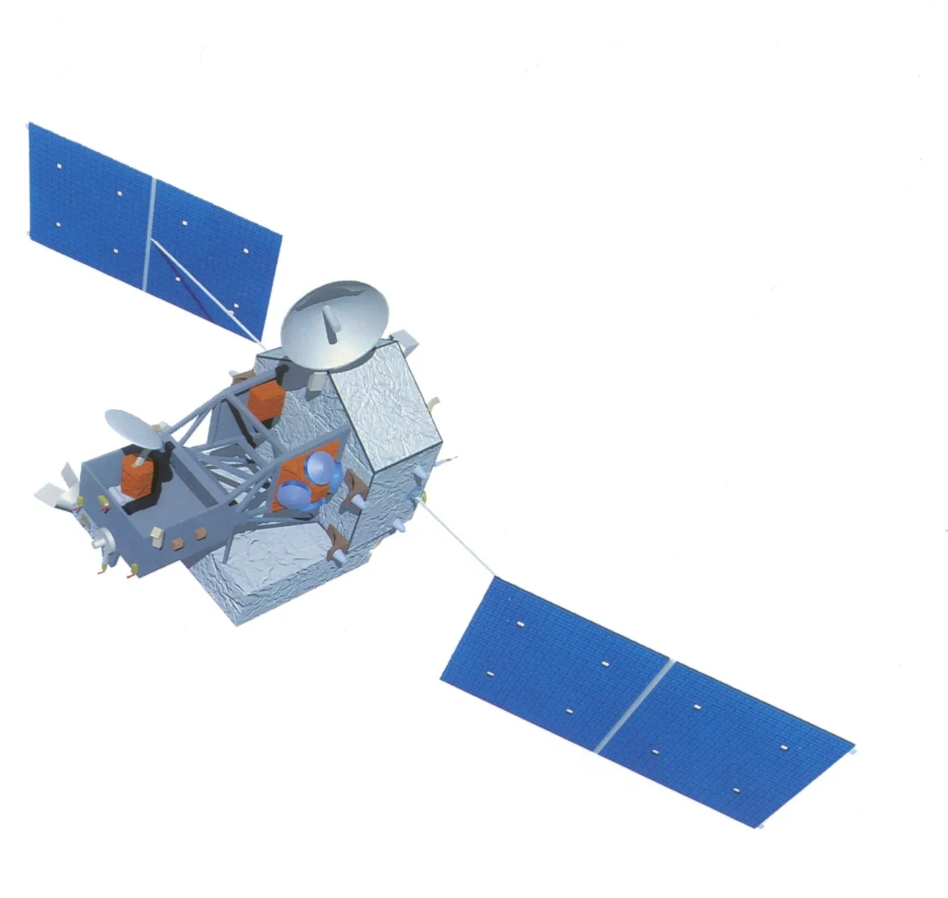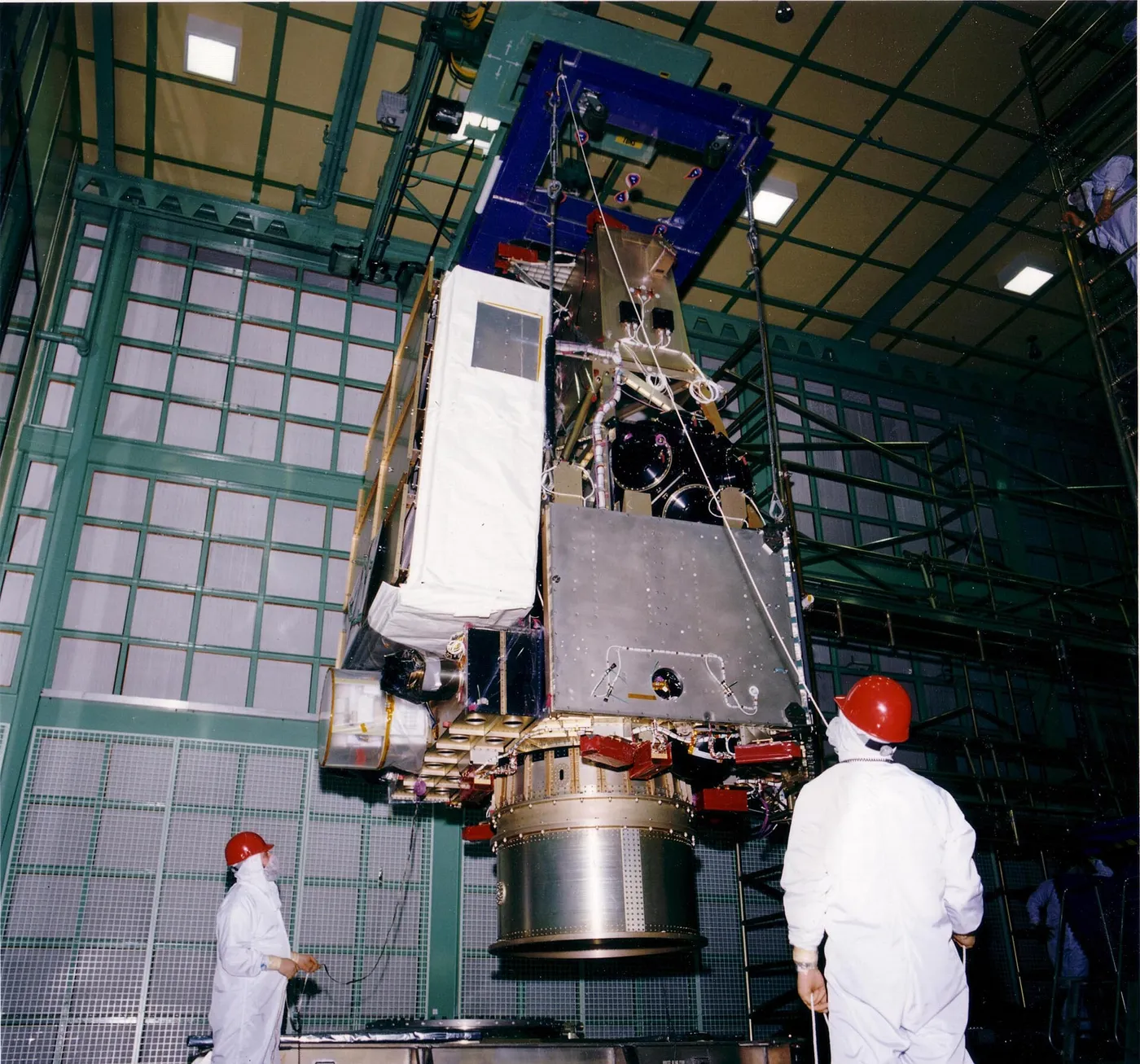

Rainfall is one of the hardest things to measure globally. Gauges exist only where people live, ships sample narrow tracks, and most precipitation falls over oceans and tropical forests where nobody is counting. TRMM was the first mission built specifically to fix that.
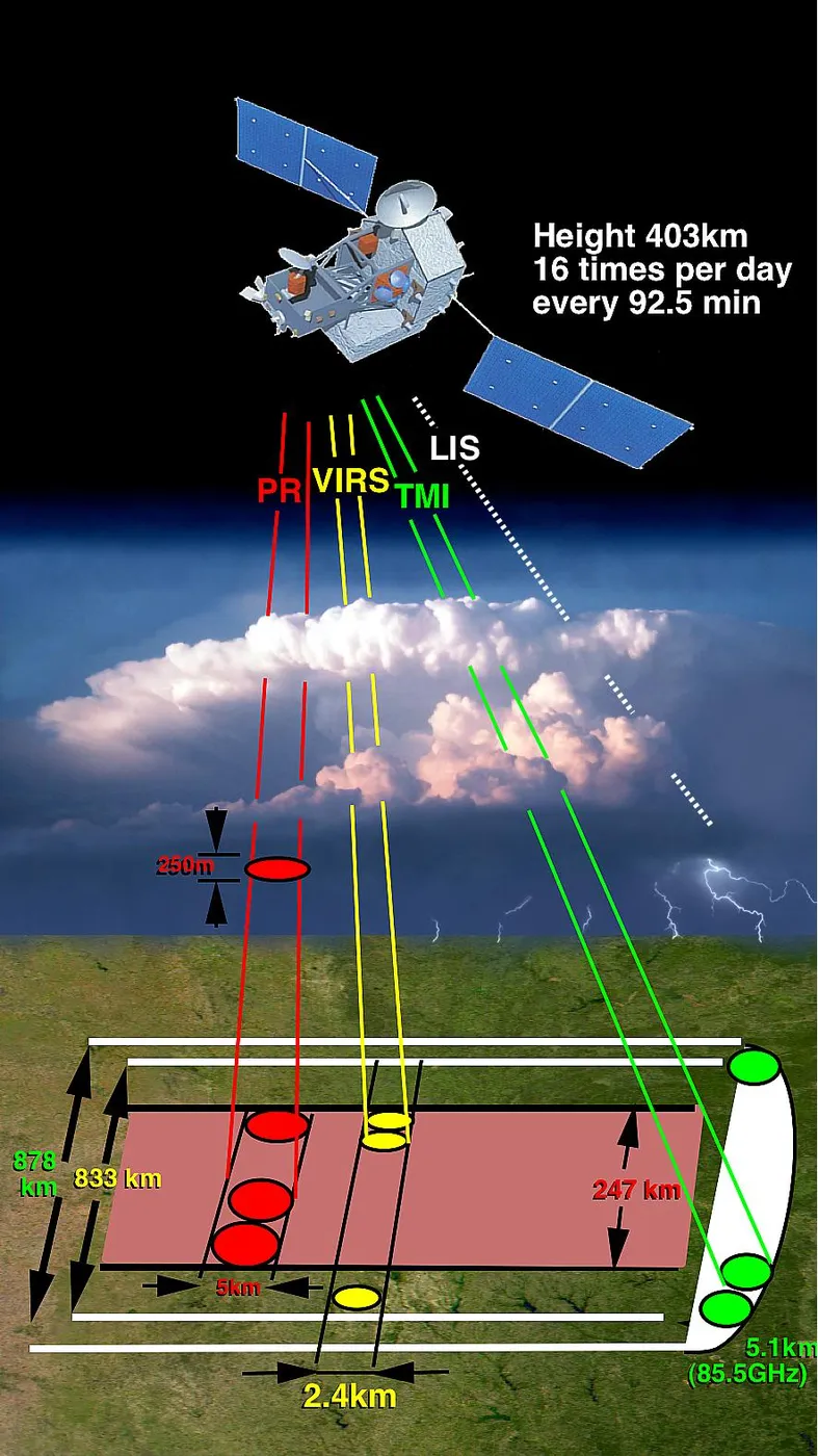
It carried the first precipitation radar ever flown, which did something no passive instrument could: it looked through the tops of storm clouds and measured the vertical structure of rain within them, layer by layer, revealing where the heaviest rates occurred and how the storm was organised.
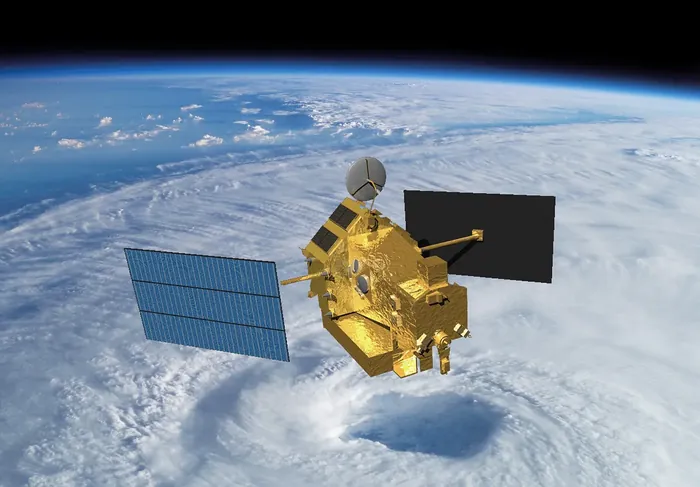
That vertical view changed tropical meteorology. It showed how latent heat is released at different altitudes within storm systems, which is the energy that drives large-scale atmospheric circulation, and it substantially improved the models used for both weather and climate.
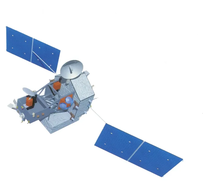
It also proved operationally valuable in ways its designers had not emphasised. Forecasters used its imagery to estimate hurricane intensity — particularly the presence of a well-formed eyewall, which signals a strengthening storm — for basins where aircraft reconnaissance does not fly.
A joint American and Japanese mission, it was designed for three years and operated for seventeen, its orbit boosted twice to extend the mission before it was allowed to re-enter in 2015. Its successor, GPM, extended the same measurement from the tropics to most of the globe.