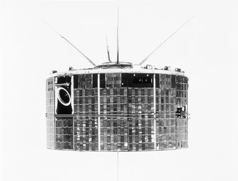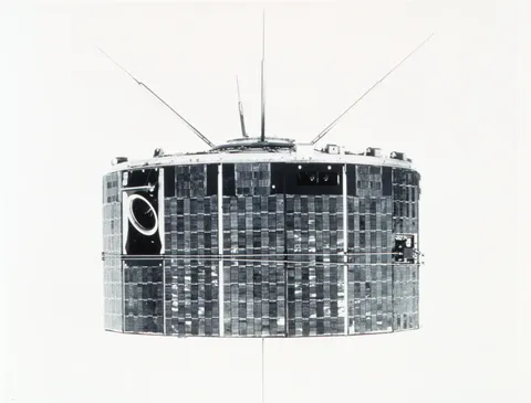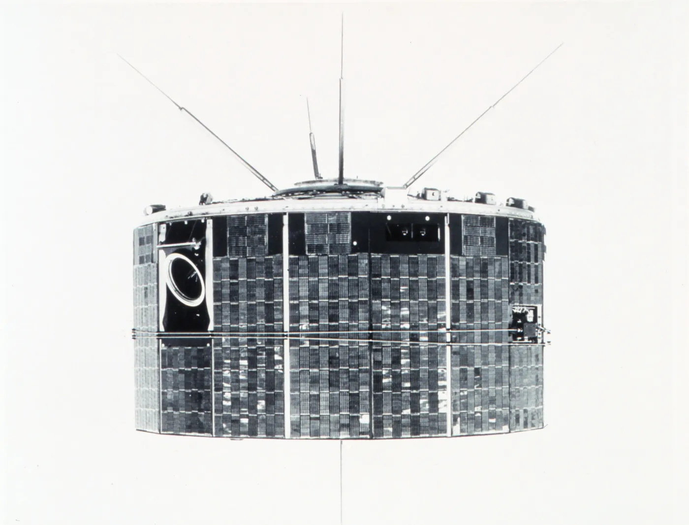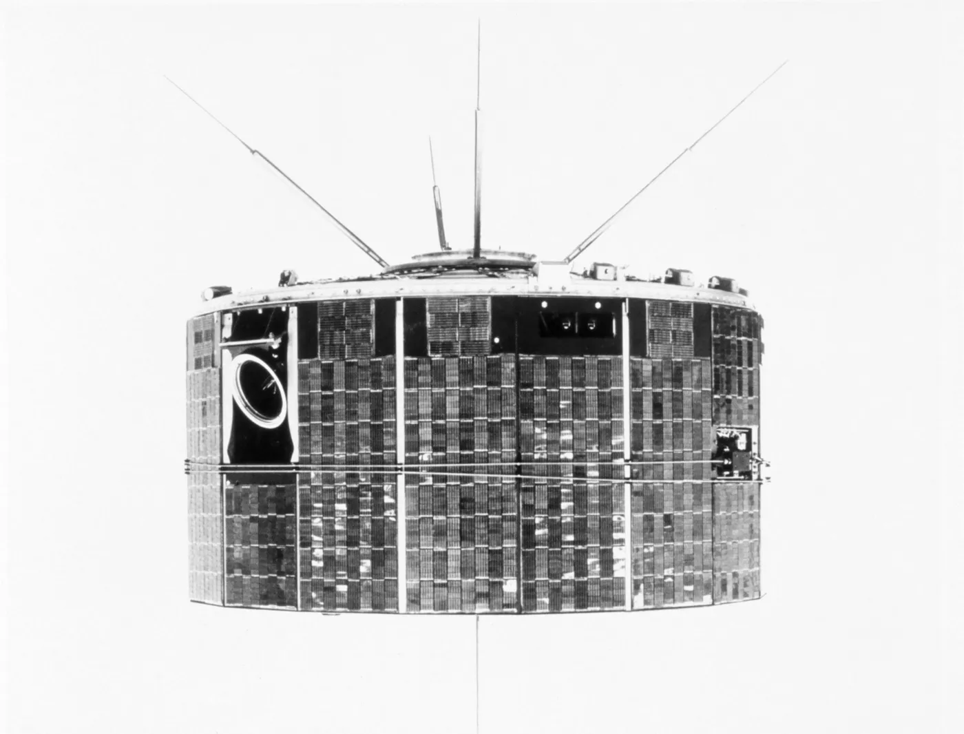

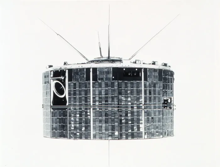
TIROS-9 solved the geometry problem. Earlier spacecraft spun about an axis fixed in space, so their cameras pointed at the Earth only for part of each orbit and the coverage was patchy and awkward. This one was placed in a cartwheel configuration, rotating in the plane of its orbit so that the cameras swept across the Earth once per revolution.
The result was systematic global coverage. On 13 February 1965 the imagery was assembled into the first complete photographic mosaic of the Earth's cloud cover — the entire planet's weather, on one day, in one picture.
That composite was widely reproduced and had an effect out of proportion to its resolution. Meteorologists could see the global circulation directly: the bands of tropical convection, the mid-latitude storm tracks, the subtropical clear zones, all in the arrangement textbooks had described from theory.
The satellite was also placed in a Sun-synchronous polar orbit, so that each pass crossed the equator at the same local time and images taken days apart could be compared under identical illumination.
Both innovations became standard. Every operational weather satellite since has used some version of this approach, and the daily global cloud mosaic that TIROS-9 produced for the first time is now generated automatically and continuously without anyone remarking on it.