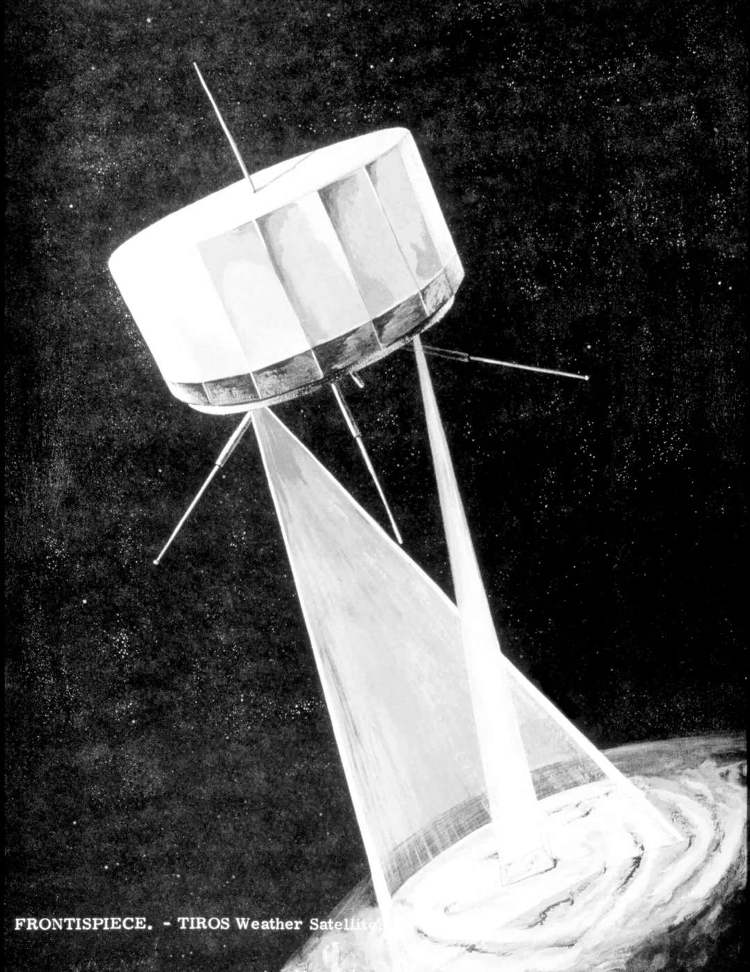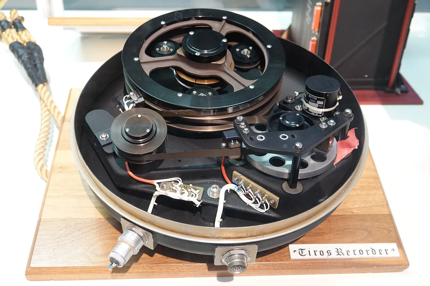

TIROS-8 introduced the innovation that democratised weather satellites. Automatic Picture Transmission broadcast each image continuously in a simple analogue format as the satellite passed overhead, so that anyone with modest equipment could receive pictures of their own region directly.
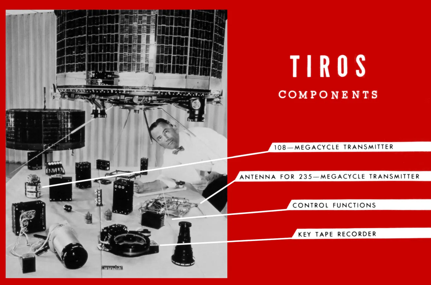
This was a substantial departure. Previously imagery had to be recorded aboard, downlinked to a few large ground stations, processed and distributed — a chain taking hours and requiring infrastructure only wealthy countries possessed.
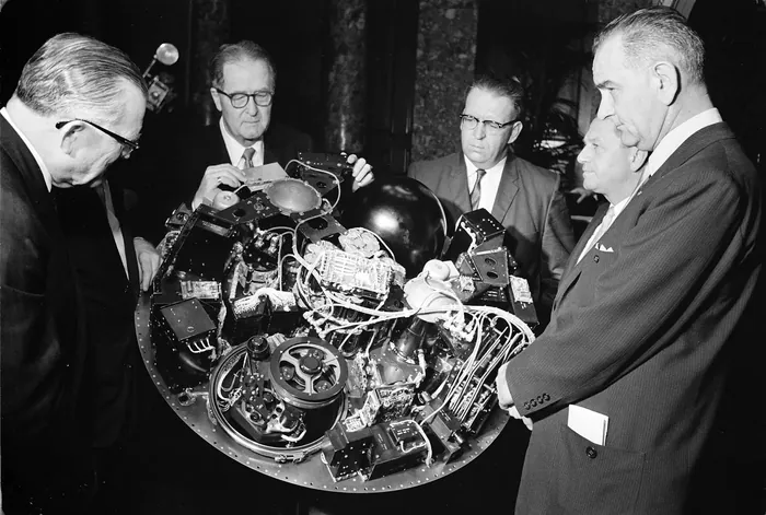
APT stations were inexpensive enough that meteorological services across the developing world, universities, and eventually amateurs could build them. Within a few years hundreds were operating in dozens of countries, many of them receiving satellite imagery of their own territory long before they had any other modern observing infrastructure.
The format was deliberately kept simple and unencrypted, and it was never restricted — a policy decision with consequences that have long outlived the satellite. Direct broadcast remains a standard feature of weather satellites today.
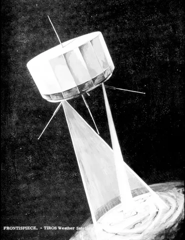
The spacecraft itself operated for about three and a half years. Its legacy is less about what it observed than about who was able to see it — an early demonstration that open access multiplies the value of a public system.