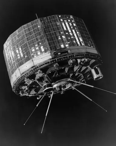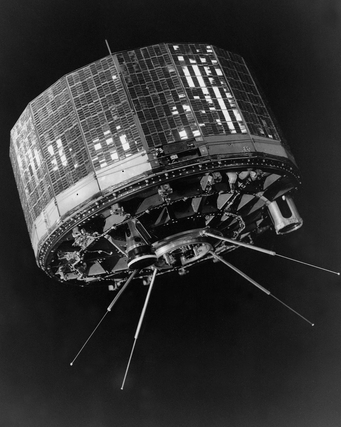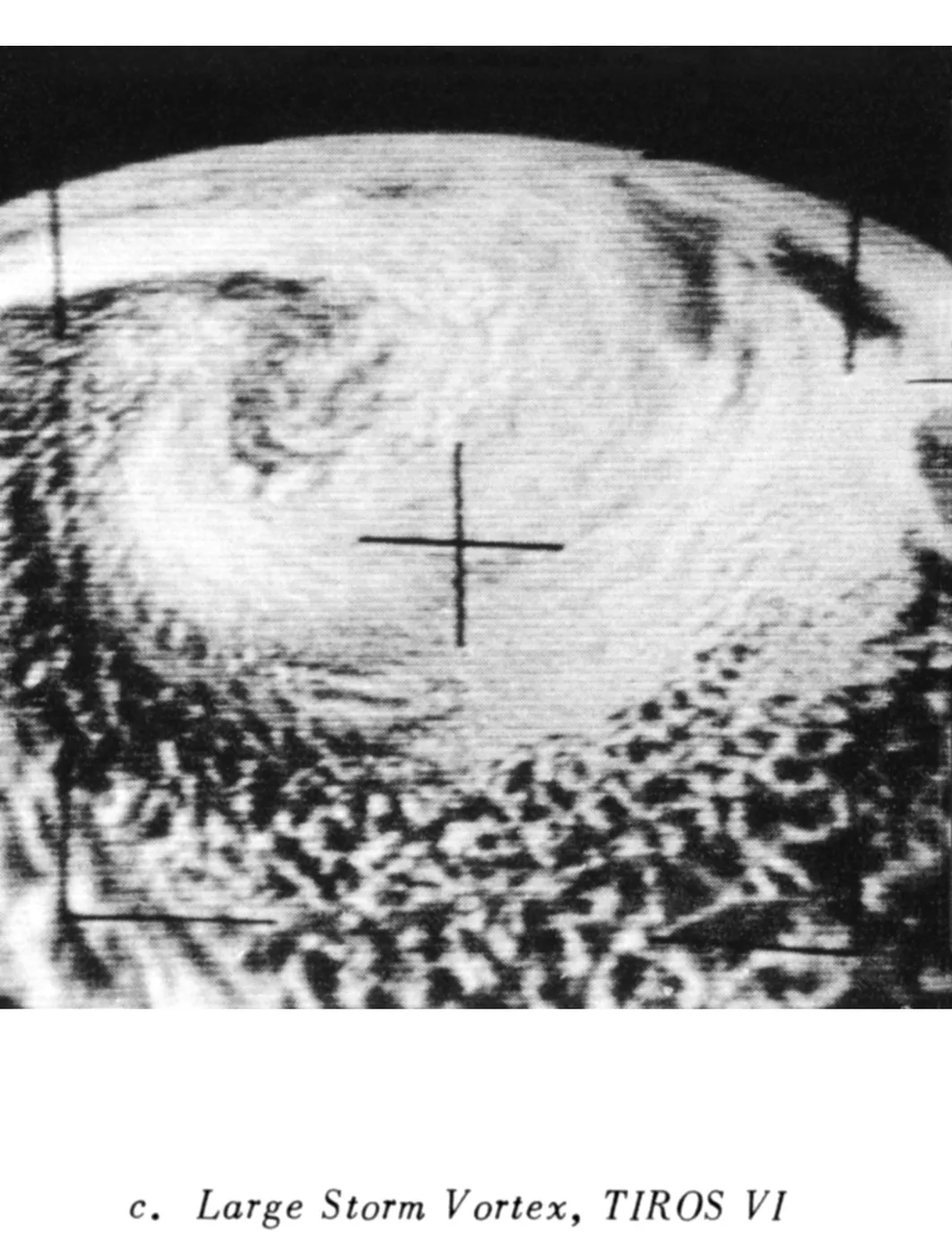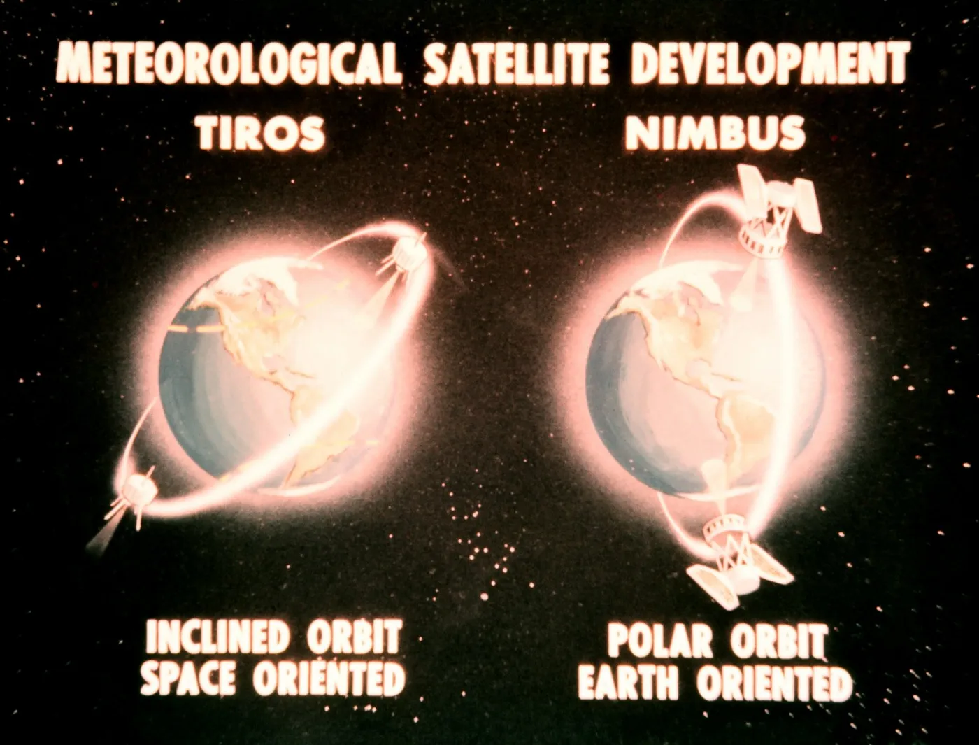

TIROS-6 flew alongside TIROS-5 as a pair, providing the first sustained period in which two weather satellites operated simultaneously. That redundancy mattered: early spacecraft failed frequently and unpredictably, and overlapping coverage protected against gaps.
It supported the crewed spaceflight programme directly, providing cloud imagery of the Atlantic recovery zones used to plan and confirm the landing areas for Mercury missions — an early example of weather satellites serving other space operations.
It also continued hurricane surveillance through the 1962 and 1963 seasons, by which time satellite detection of tropical cyclones had become the expected standard rather than a novelty.
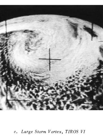
Its cameras returned imagery for over a year, longer than most of its predecessors, contributing to the growing archive that meteorologists were using to classify cloud patterns and relate them to the underlying atmospheric dynamics.
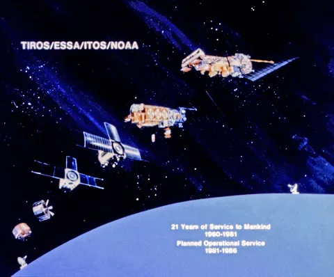
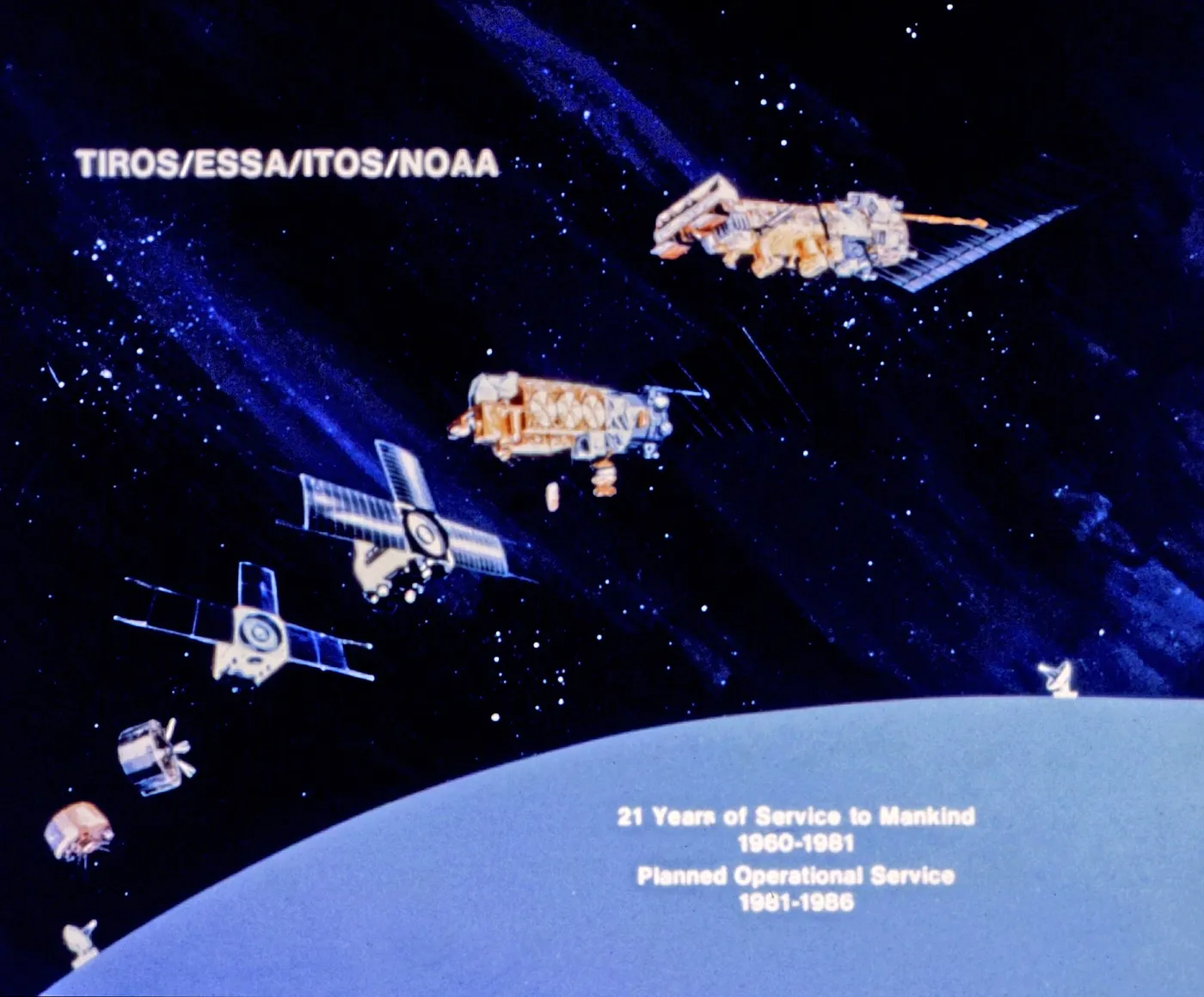
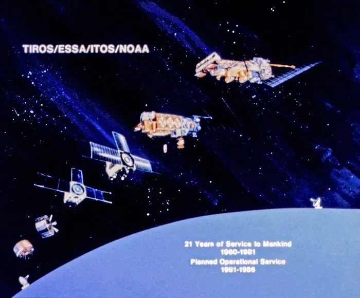
The pattern established here — multiple satellites operating together, tasked to operational rather than experimental priorities — is essentially how the weather satellite system has worked for the six decades since.