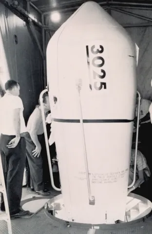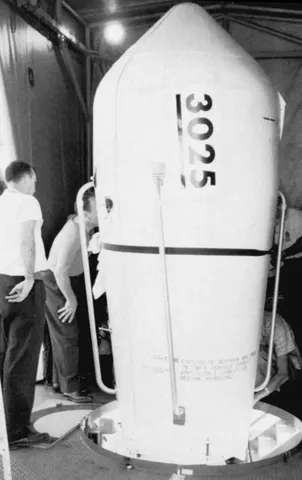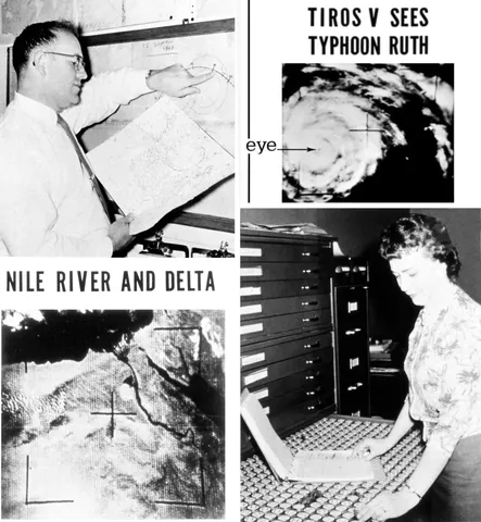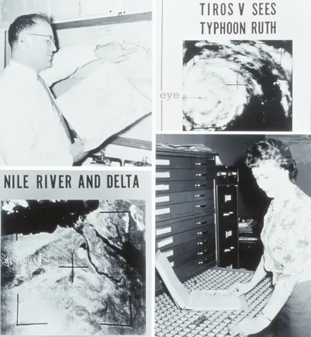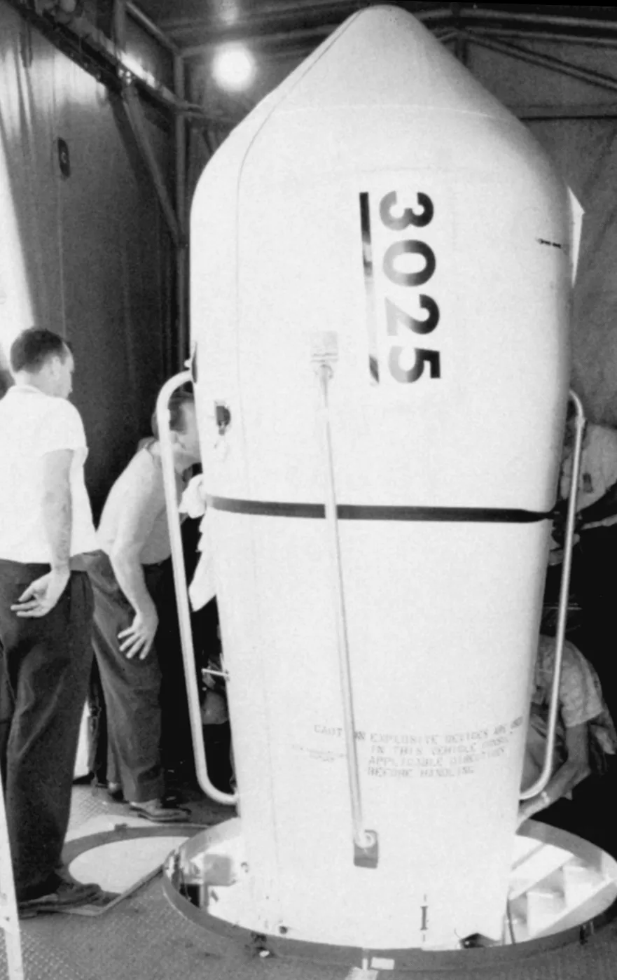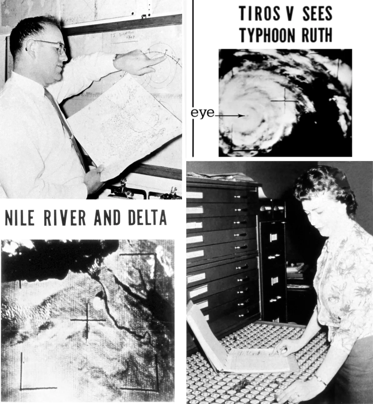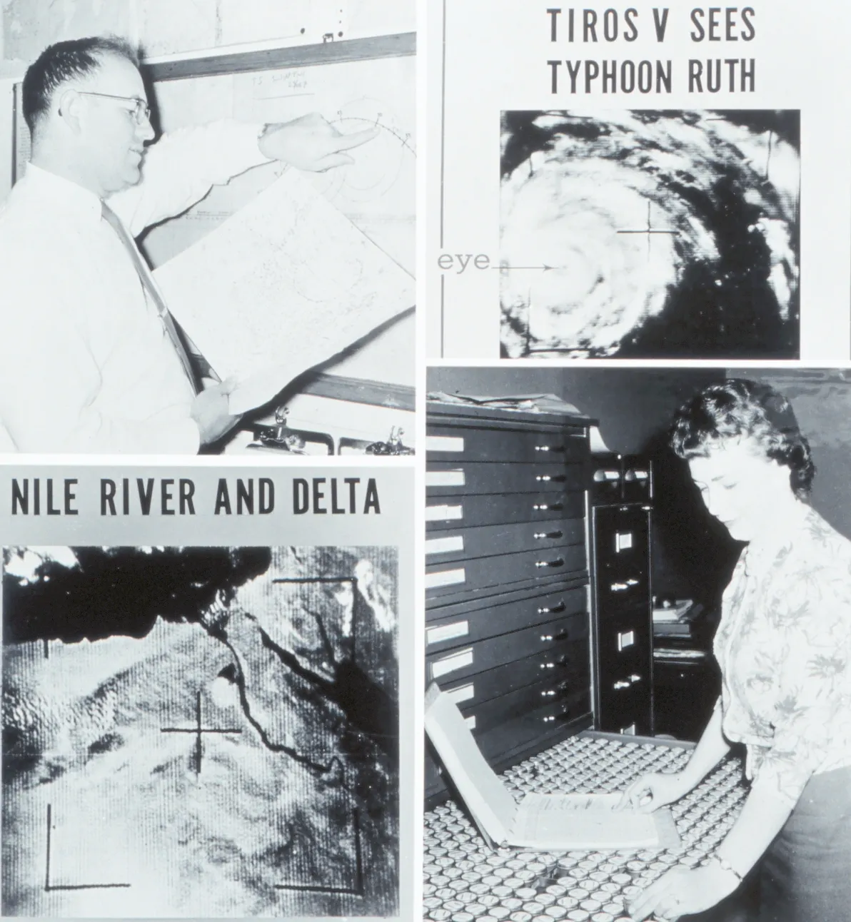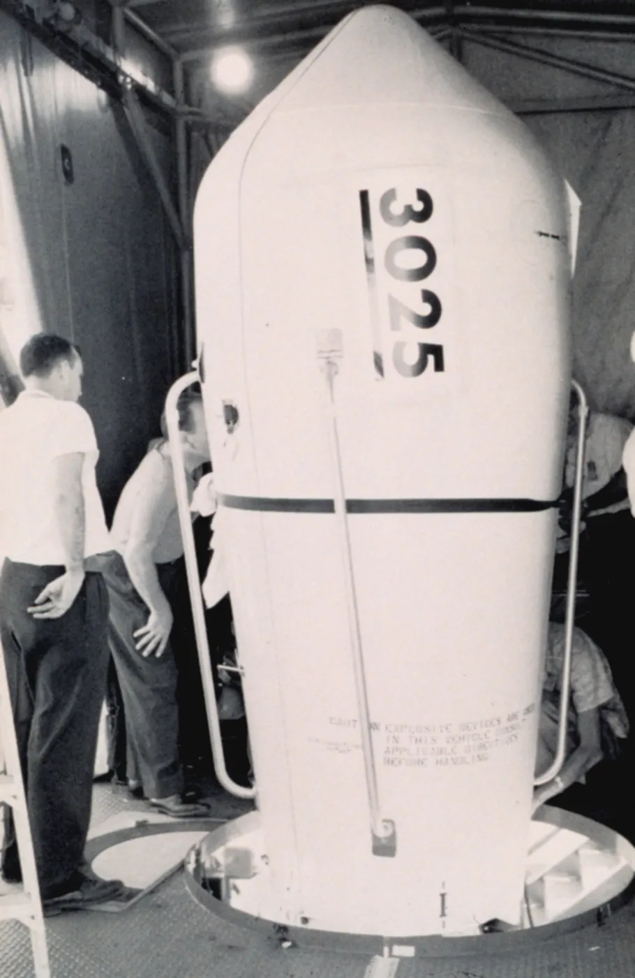

TIROS-5 was launched specifically to cover the 1962 Atlantic hurricane season, in an orbit with higher inclination than its predecessors to extend coverage further north and south — the programme was already being tailored to operational requirements rather than flown as pure demonstration.
It provided imagery of several tropical cyclones and, importantly, demonstrated that a satellite could be tasked to meet a forecasting calendar. The launch schedule was set by the hurricane season rather than by engineering convenience.
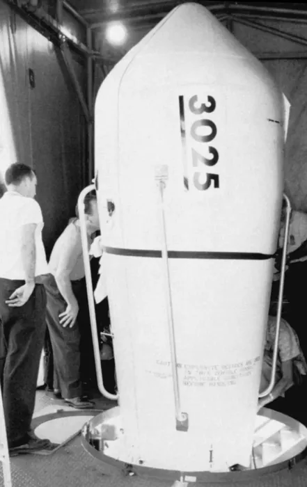
One of its two cameras failed early, but the remaining wide-angle system operated for several months and returned tens of thousands of images — by this point routinely distributed to forecasters within hours of acquisition.
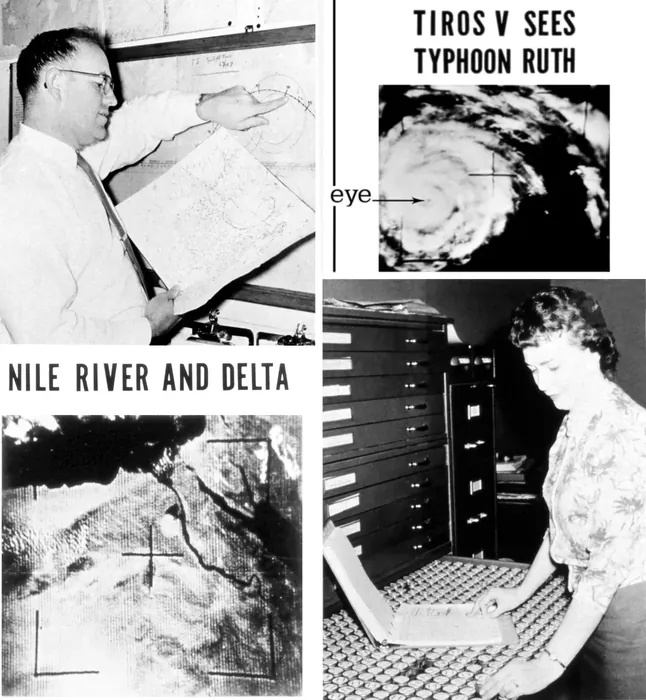
It also observed severe weather over land, including large convective storm systems whose organisation had been inferred from surface observations but never seen whole.
Together with TIROS-6, launched three months later, it provided the first period of overlapping two-satellite coverage — the beginning of the continuous operational monitoring that has run without a gap ever since.