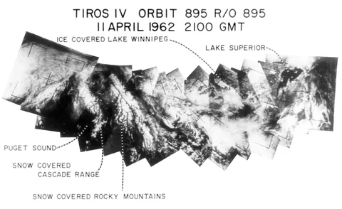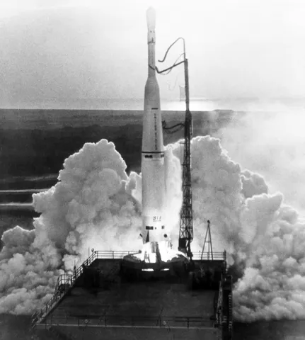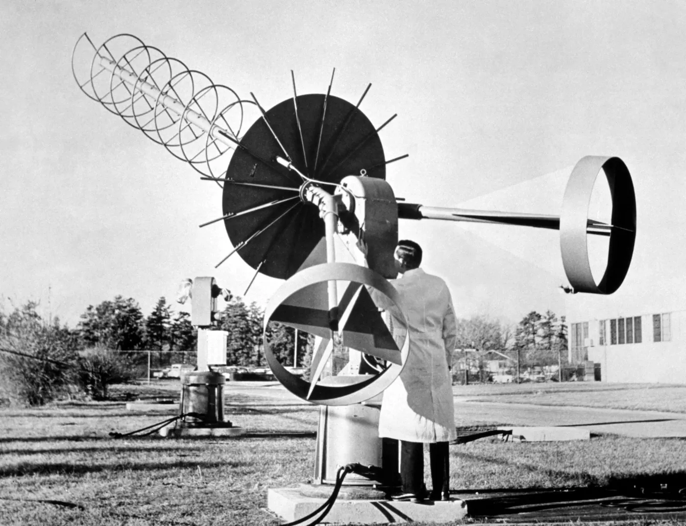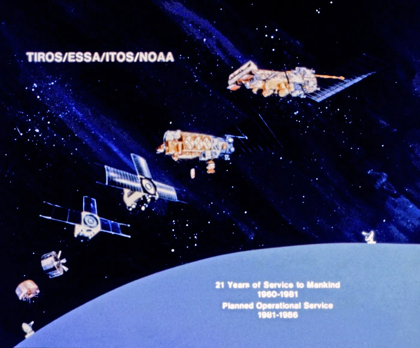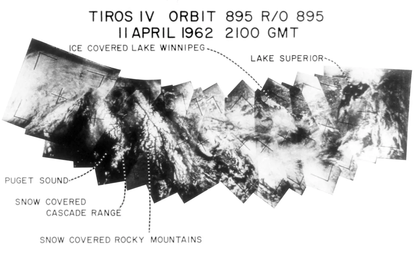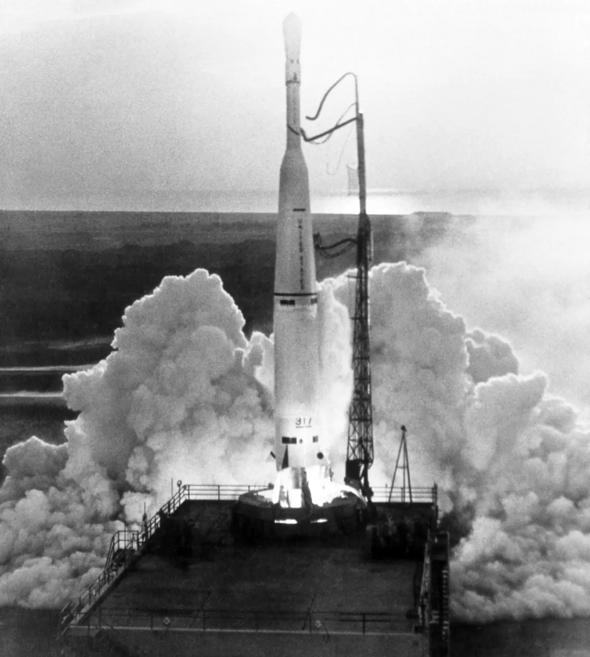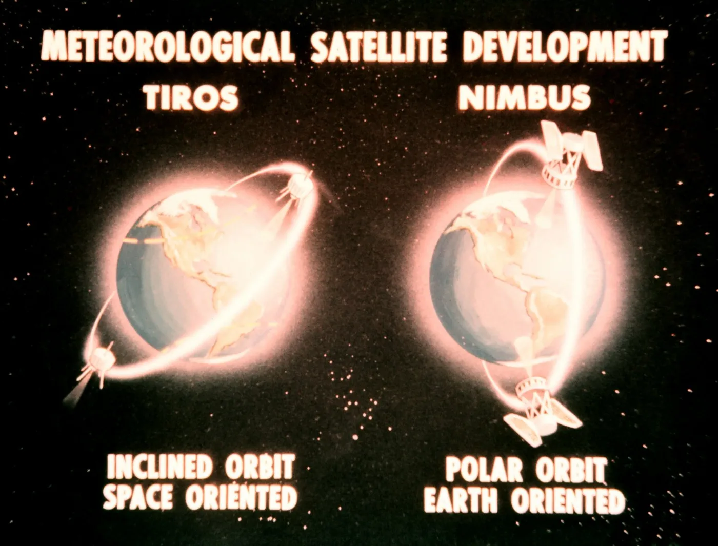

TIROS-4 carried improved cameras and flew during a period when the operational value of weather satellites was still being established — each mission had to demonstrate that the imagery justified the cost of building and launching another one.
Its most distinctive contribution was ice reconnaissance. Its images were used to chart sea ice in the North Atlantic and around Antarctica, information of direct commercial value to shipping and previously obtainable only from aircraft patrols over limited areas.
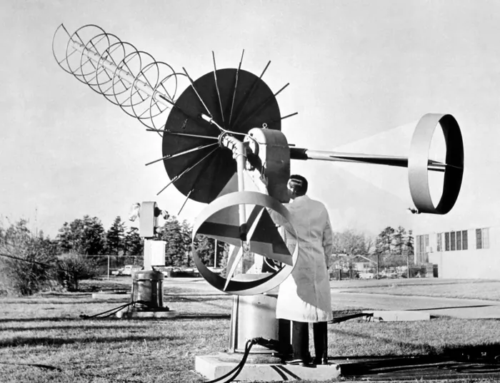
It also supported an international experiment in which its data was distributed to meteorological services in several countries, an early test of the arrangements that now make weather satellite data freely available worldwide as a matter of routine.
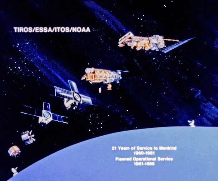
Its infrared instruments continued measuring the Earth's radiation balance, building the first multi-year record of how much energy the planet absorbs and emits.
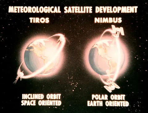
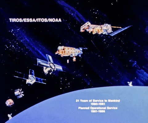
It operated for about four months before its cameras degraded. The rapid succession of TIROS launches — ten in five years — reflected both the short lifetimes of early spacecraft and the speed at which the technology was improving.