
The last of the TIROS series was funded specifically to support the Gemini programme, providing weather observation for launch and recovery operations during a period of frequent crewed flights.
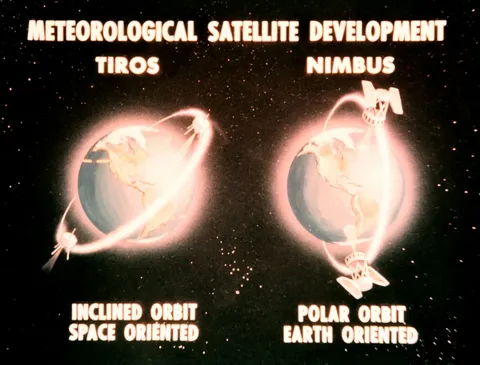
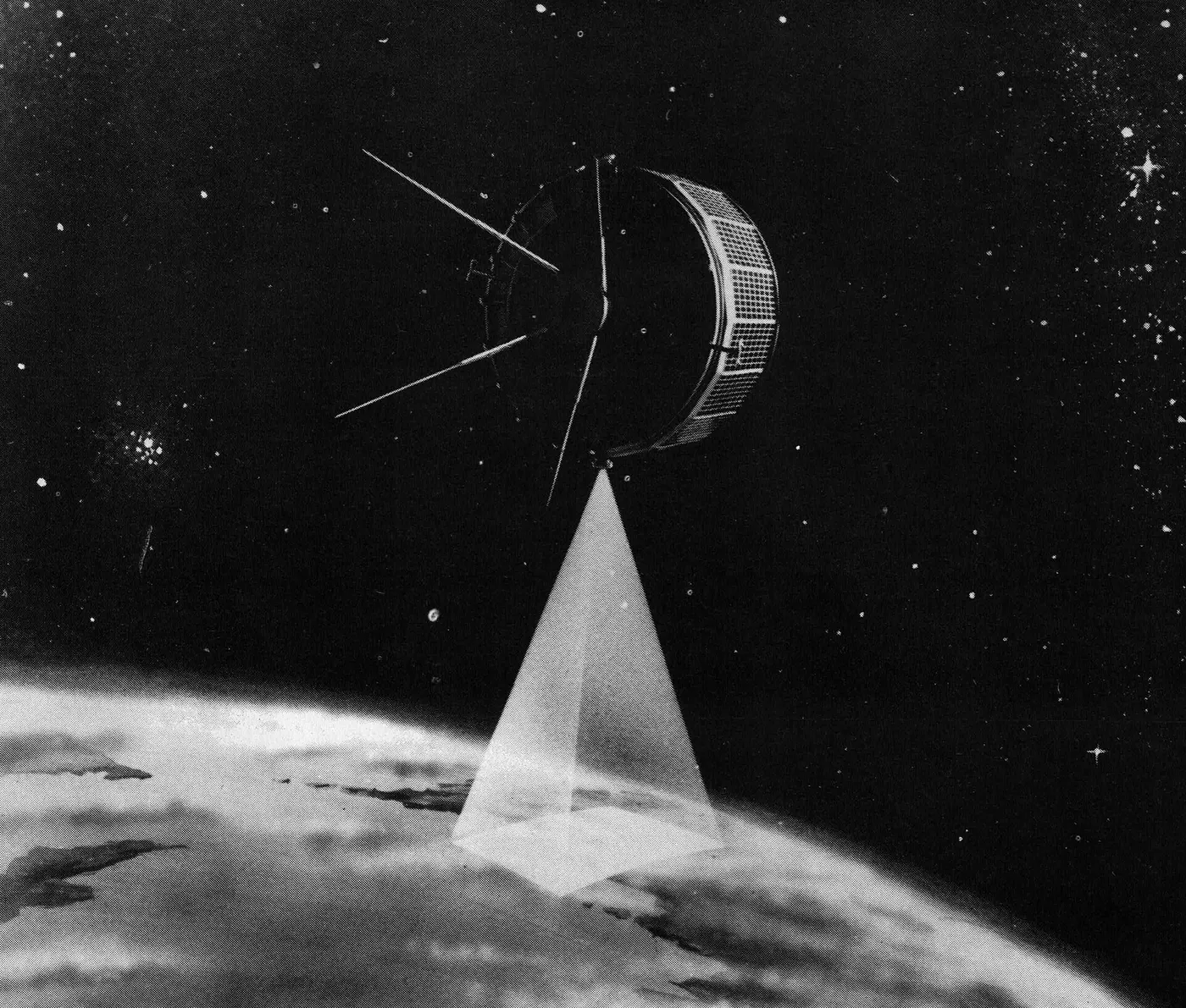
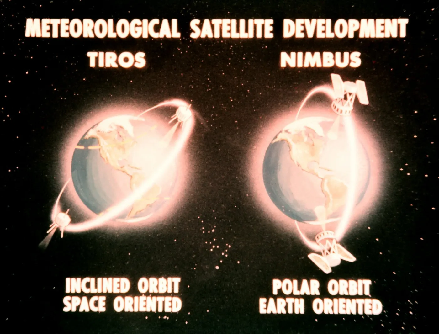
It flew a conventional spin-stabilised configuration rather than the cartwheel of its immediate predecessor, and operated for about two years returning routine cloud imagery to the operational forecasting system.
By 1965 the experimental phase was over. The TIROS Operational System had been established with dedicated satellites, and the programme's original question — whether weather satellites were worth building — had been comprehensively answered.
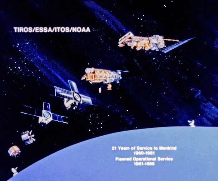
Ten TIROS spacecraft had flown in five years, and between them they had produced hundreds of thousands of images, discovered hurricanes, established global cloud climatology, introduced direct broadcast and demonstrated infrared and Sun-synchronous observation.
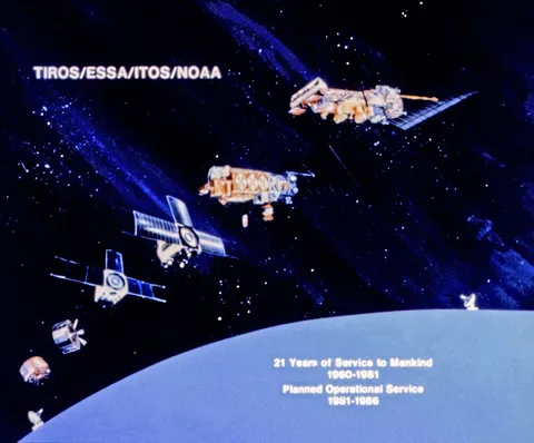
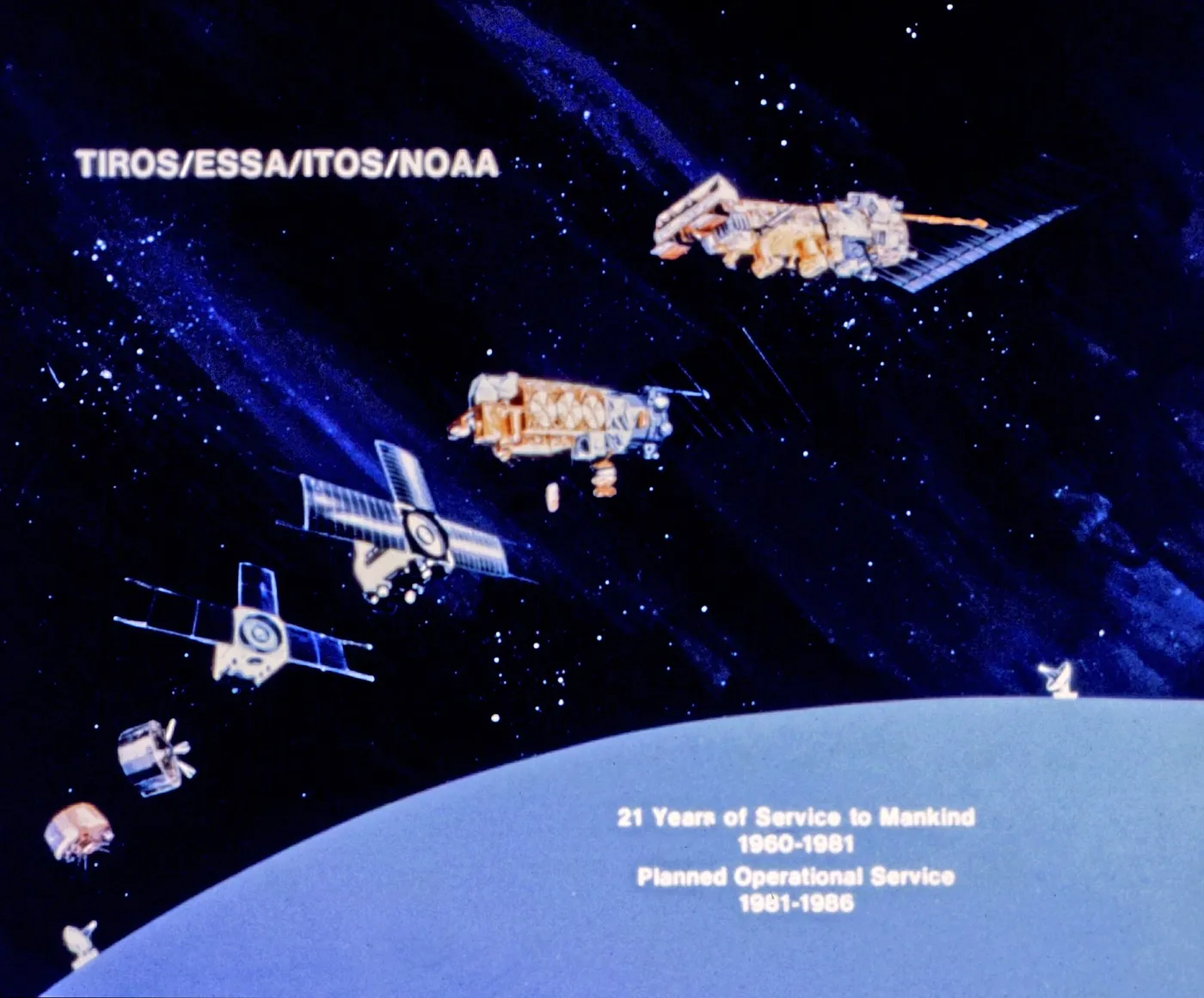
The lineage continued directly. The operational satellites that followed carried the TIROS name for decades, and the American polar-orbiting weather satellite programme running today is the institutional descendant of the spacecraft launched in April 1960.