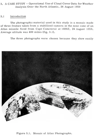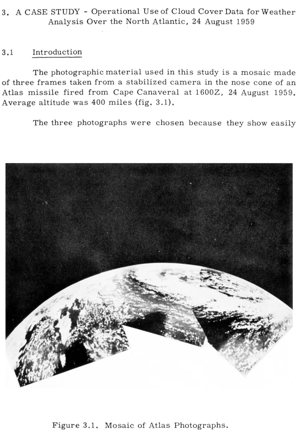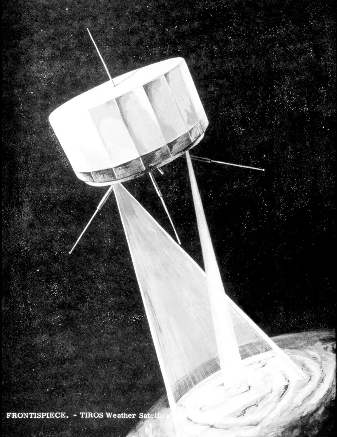

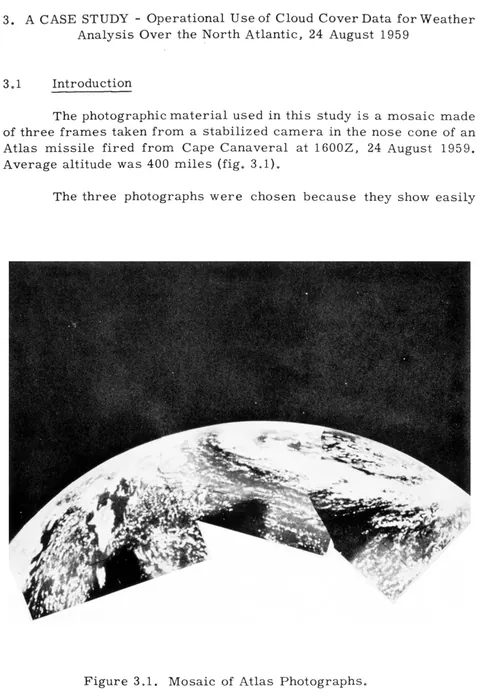
Before April 1960 nobody had ever seen a weather system whole. Forecasting depended on scattered surface reports and a few balloons, and vast stretches of ocean produced no data at all — storms arrived without warning because there was nothing out there to notice them forming.
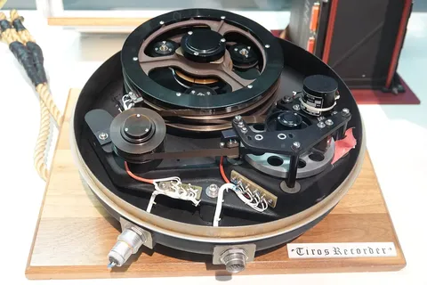
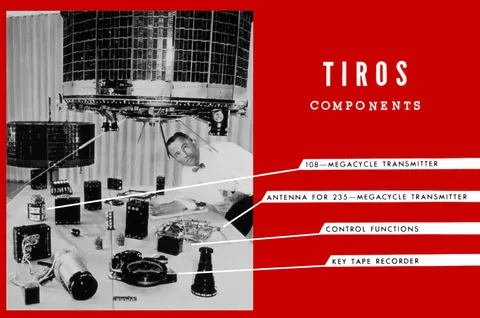
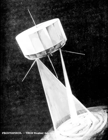
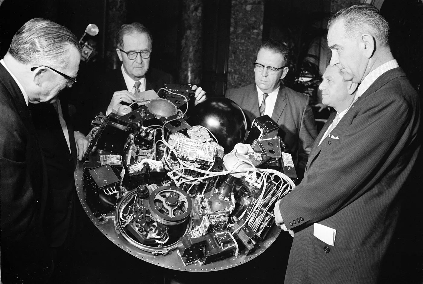
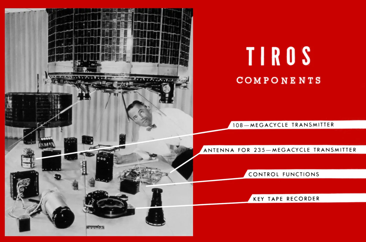
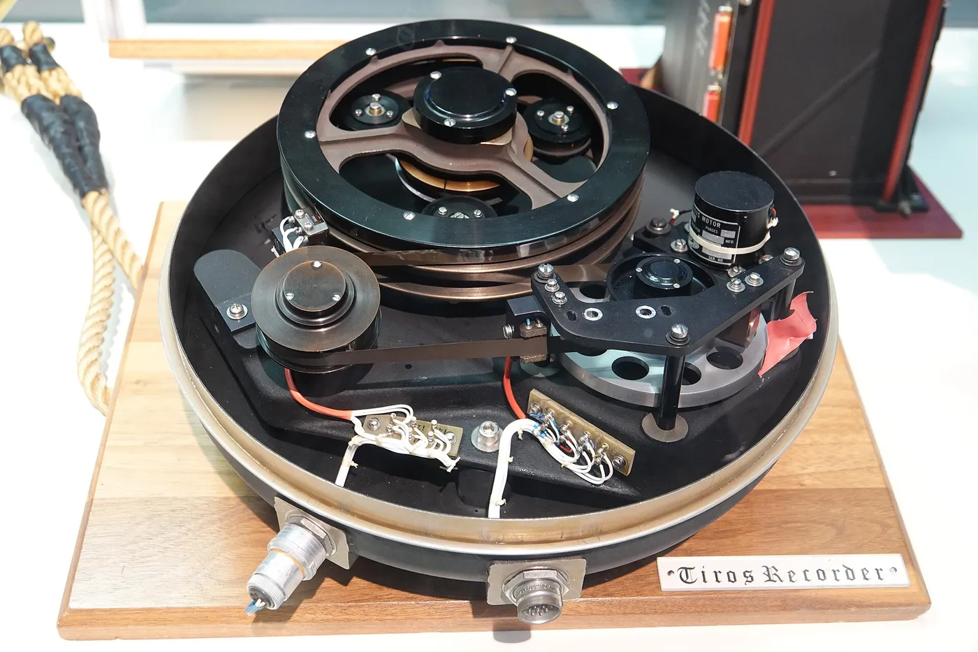
TIROS-1 carried two small television cameras and a tape recorder, and on its first day it returned an image of a cloud formation over the northeastern United States. The pictures were grainy and geometrically distorted, and they were revelatory: the spiral structure of cyclones, which meteorologists had inferred, was simply visible.
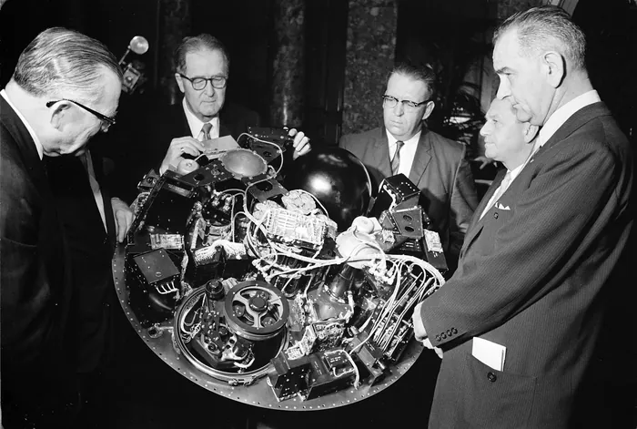
The satellite spun for stability, which meant the cameras swept past the Earth rather than staring at it, and images had to be untangled by hand to work out what part of the world they showed. Within weeks forecasters were using them operationally, and a typhoon was spotted in the Pacific that no other system had detected.
It worked for 78 days before an electrical failure ended the mission — long enough to settle the argument about whether weather satellites were worth building. Nine more TIROS craft followed within five years, and the operational weather-satellite system that grew out of them has run continuously ever since.
It is arguably the most economically valuable thing ever launched. Hurricane warnings that once came hours ahead now come days ahead, and the reduction in deaths from tropical storms in the satellite era is measured in hundreds of thousands. The programme is also the reason everyone now expects to see the weather on television as a picture rather than a chart.