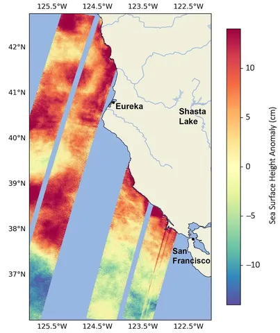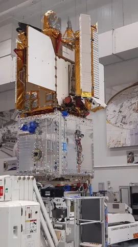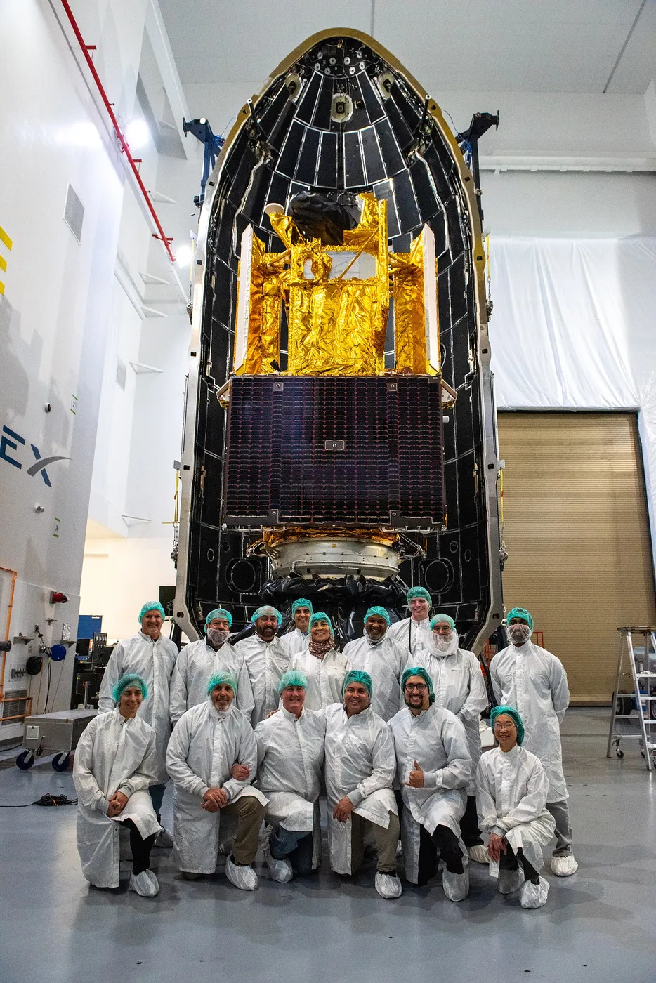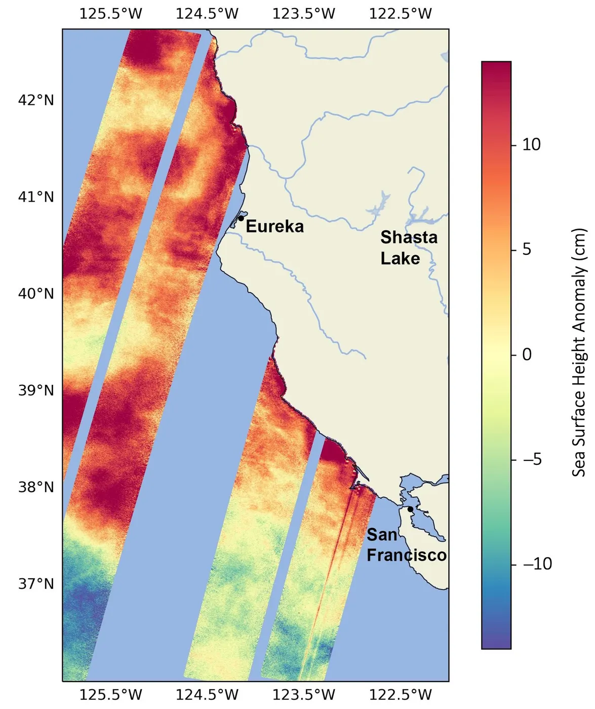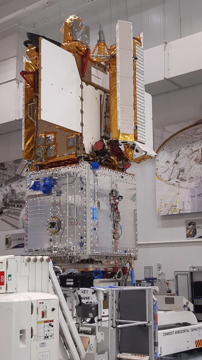

SWOT measures water in two dimensions where previous altimeters measured it in one. Conventional radar altimeters look straight down and sample a single line along the ground track; SWOT uses two antennas ten metres apart to interferometrically map a swath about 120 kilometres wide, producing a map of water height rather than a profile.
For the oceans that means resolving features around fifteen kilometres across, roughly ten times finer than before. Ocean circulation at those scales — the small eddies and fronts that dominate the vertical transport of heat, carbon and nutrients — had been essentially invisible from space and is now mapped globally.
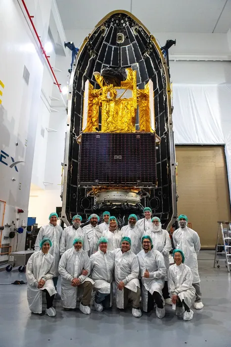
For fresh water the change is more dramatic still. The mission measures the height and extent of rivers wider than about a hundred metres and lakes larger than a few hectares, worldwide — including the very large fraction of the world's surface water that is ungauged and, in some regions, deliberately unreported.
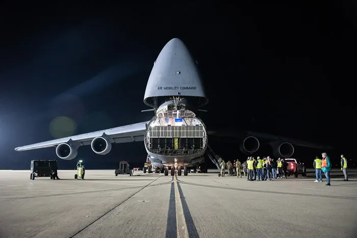
That capability has obvious implications for transboundary water management. River flows can now be estimated for basins where measurements are not shared between countries, and reservoir storage can be monitored regardless of what is published.
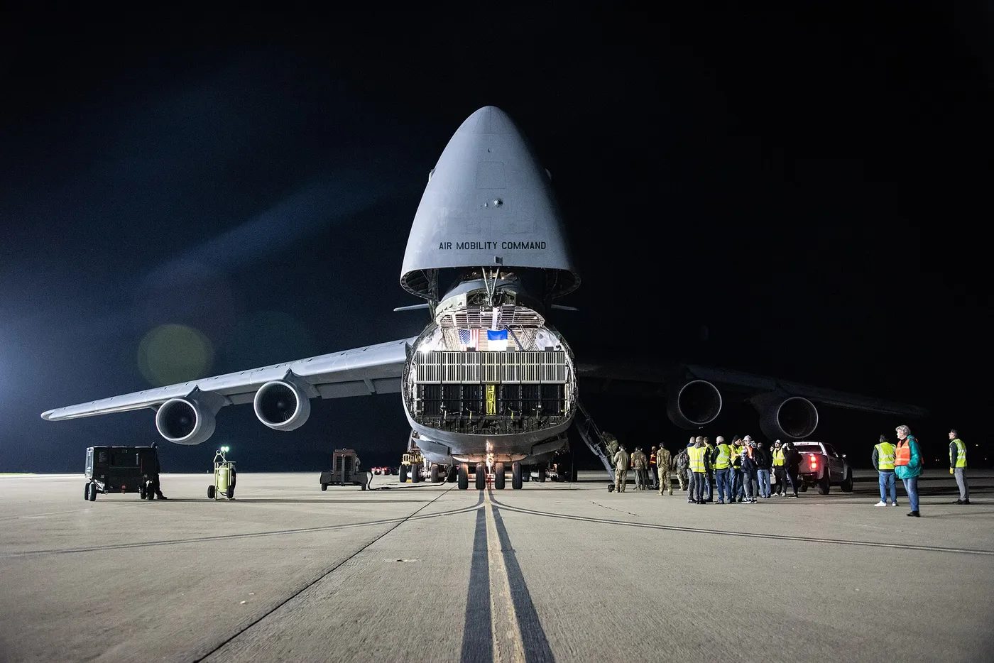
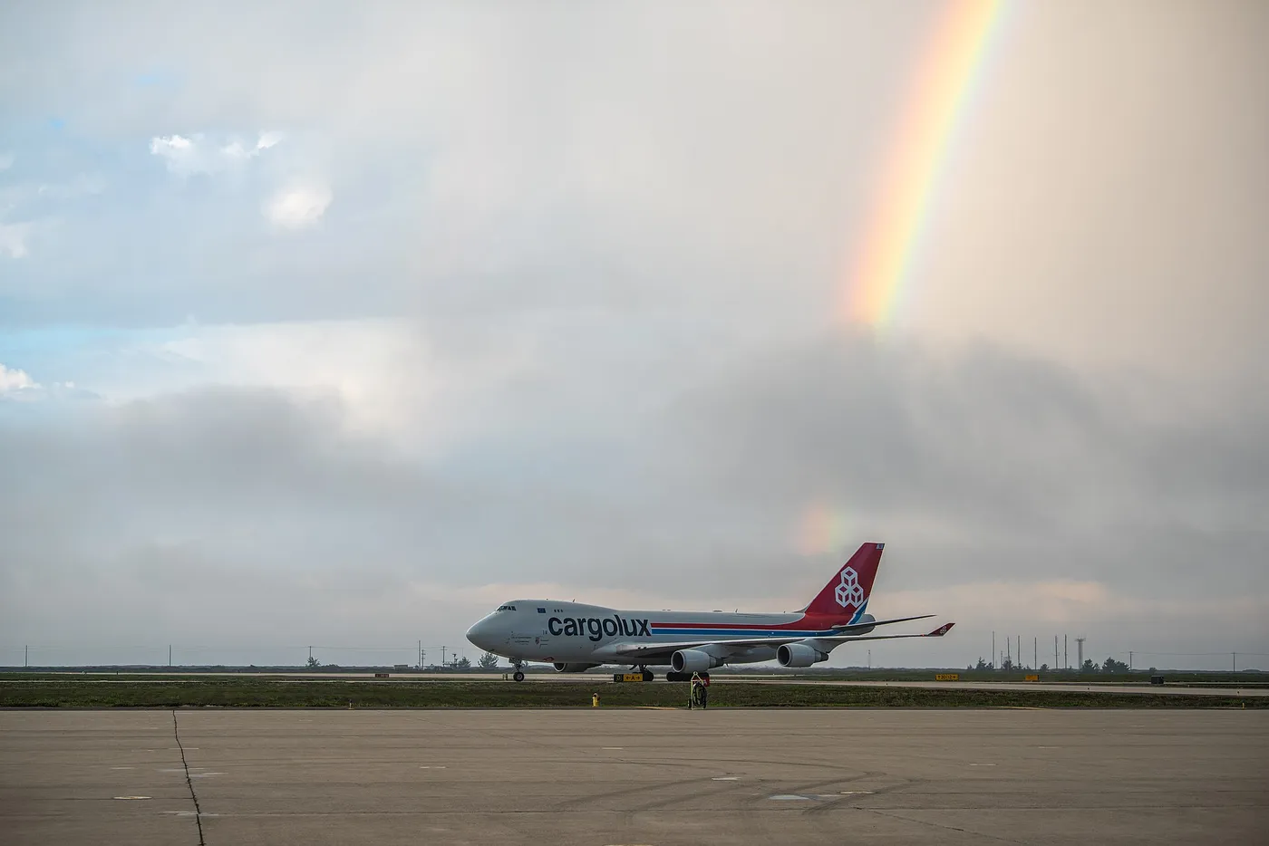
A joint mission with France, with Canadian and British contributions, it launched in December 2022. Its combination of oceanography and hydrology in one instrument was unusual, and both communities have found the data more useful than either expected.