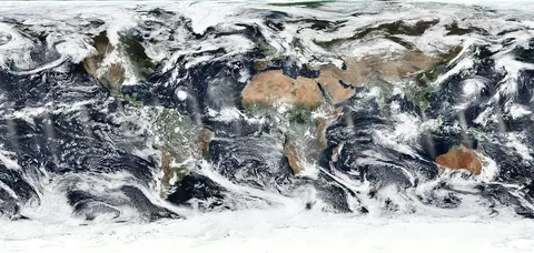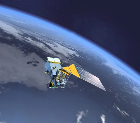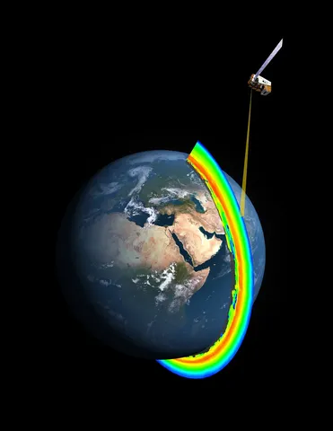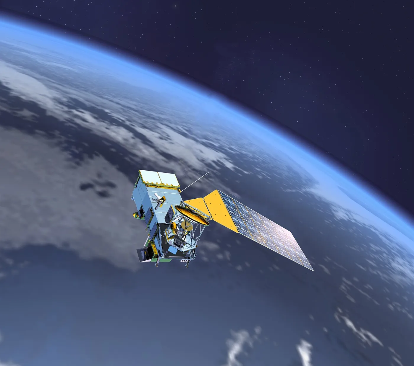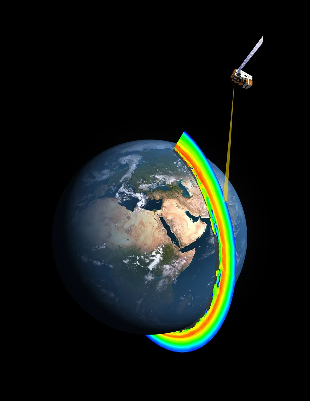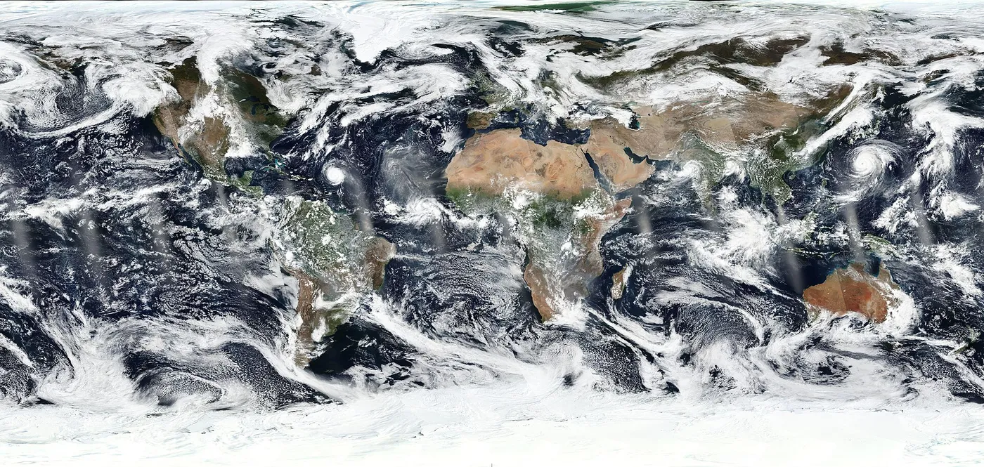

Suomi NPP was built as a bridge. The Earth Observing System satellites were ageing, their operational replacements were years behind schedule, and a gap in the weather-satellite record would have degraded forecasts worldwide. This spacecraft carried prototype versions of the new instruments and filled the gap.
Its main imager, VIIRS, continued the measurements of Terra and Aqua while adding a capability neither had: a day-night band sensitive enough to image the Earth by moonlight. It sees city lights, gas flares, fishing fleets, wildfires and the aurora — and the resulting global night-time composites became widely recognised images in their own right.
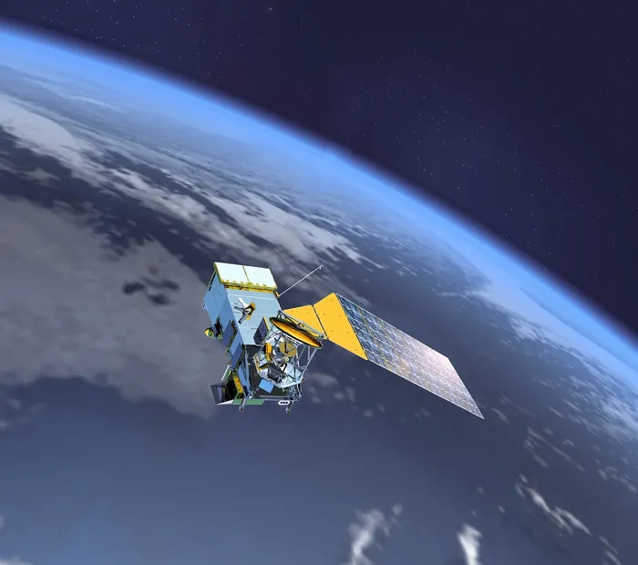
Those night lights turned out to be a serious social science dataset. Economists use them as a proxy for economic activity in countries with poor statistics, aid agencies use them to map power outages after disasters, and researchers have used them to track conflict, urbanisation and electrification.

The satellite is named for Verner Suomi, generally regarded as the father of satellite meteorology, who invented the spin-scan camera that made geostationary weather imagery possible and died in 1995.
It has operated since 2011, longer than intended, and now flies alongside the operational satellites it was meant to precede — providing additional coverage rather than merely bridging a gap, and anchoring the calibration between the research and operational instrument series.