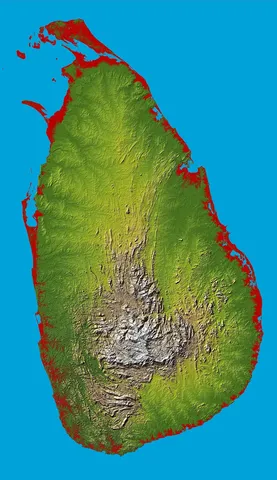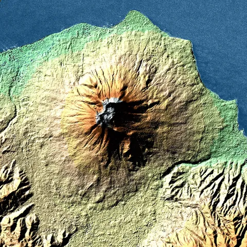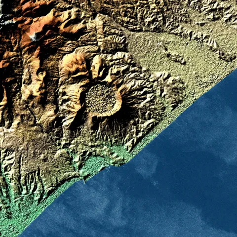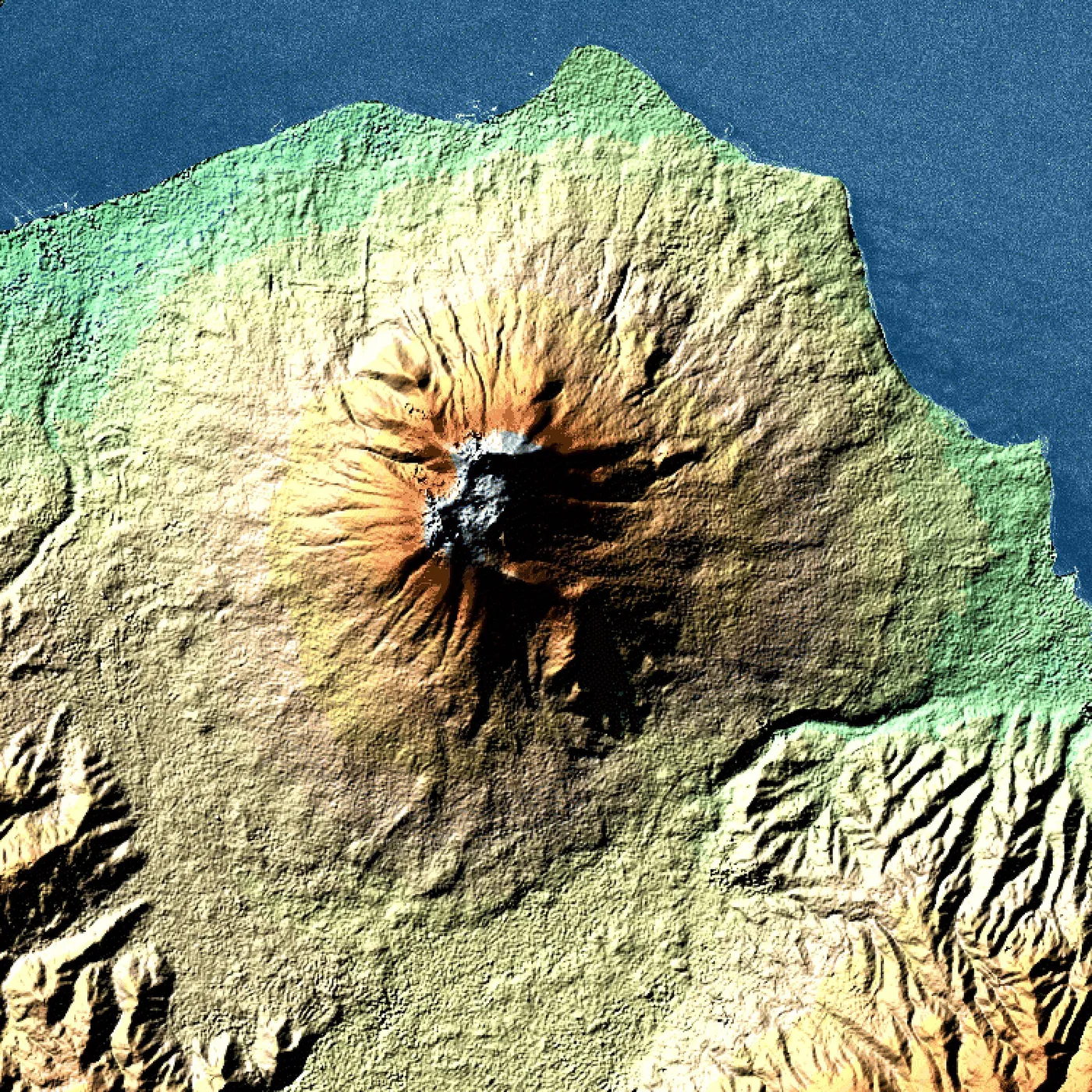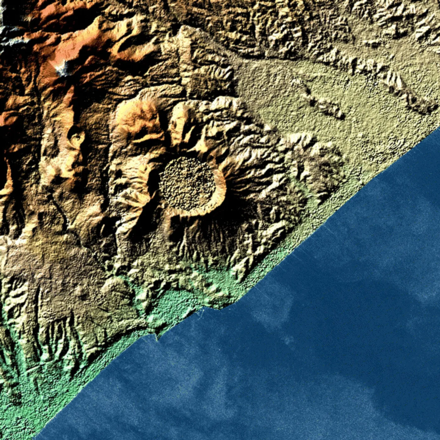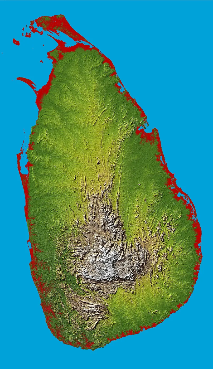
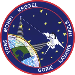
Endeavour flew the Shuttle Radar Topography Mission in February 2000, an eleven-day effort that produced the most complete three-dimensional map of Earth's land surface ever made. The crew of six extended a sixty-metre mast from the payload bay — the longest rigid structure ever deployed in space — tipping the orbiter with a radar antenna at each end.
By bouncing radar off the ground from two points at once, the mission measured the height of the terrain across almost all the inhabited world, penetrating cloud and working day and night. The resulting elevation data reshaped mapmaking, flood modelling and countless scientific and practical uses in the years that followed. It was a spectacular demonstration of turning the Shuttle itself into a precision instrument for surveying the whole planet.
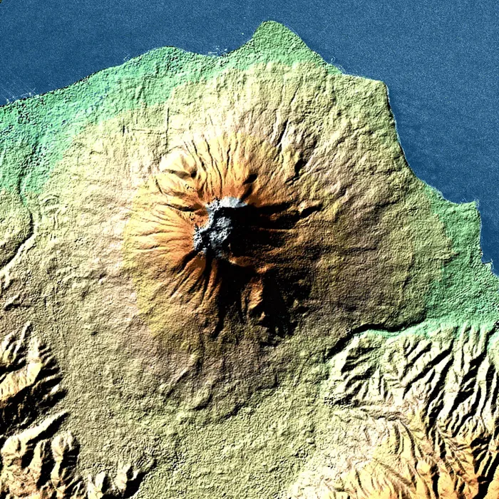
Endeavour spent eleven days in February 2000 making the first proper map of the Earth's surface. The Shuttle Radar Topography Mission carried two radar antennas — one in the payload bay and one on the end of a mast that unfolded to sixty metres, the longest rigid structure ever deployed in space — and used the separation between them to read the shape of the ground below in three dimensions.
The mast misbehaved almost immediately. A small cold-gas thruster at its tip, meant to damp the swaying of a sixty-metre boom hanging off a spacecraft, failed to work properly, and the crew had to burn orbiter propellant to hold the geometry steady — spending margin that had been reserved for exactly this sort of surprise, and very nearly running short.
It was worth it. Working in two shifts around the clock, the mission mapped roughly 80 per cent of the Earth's land area between 56 degrees south and 60 degrees north — the first consistent elevation model of the planet, replacing a patchwork of national surveys of wildly varying quality. The data was initially restricted by the Defense Department and later released, and it now underlies almost every digital map, flight simulator and flood model in ordinary use.