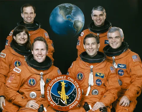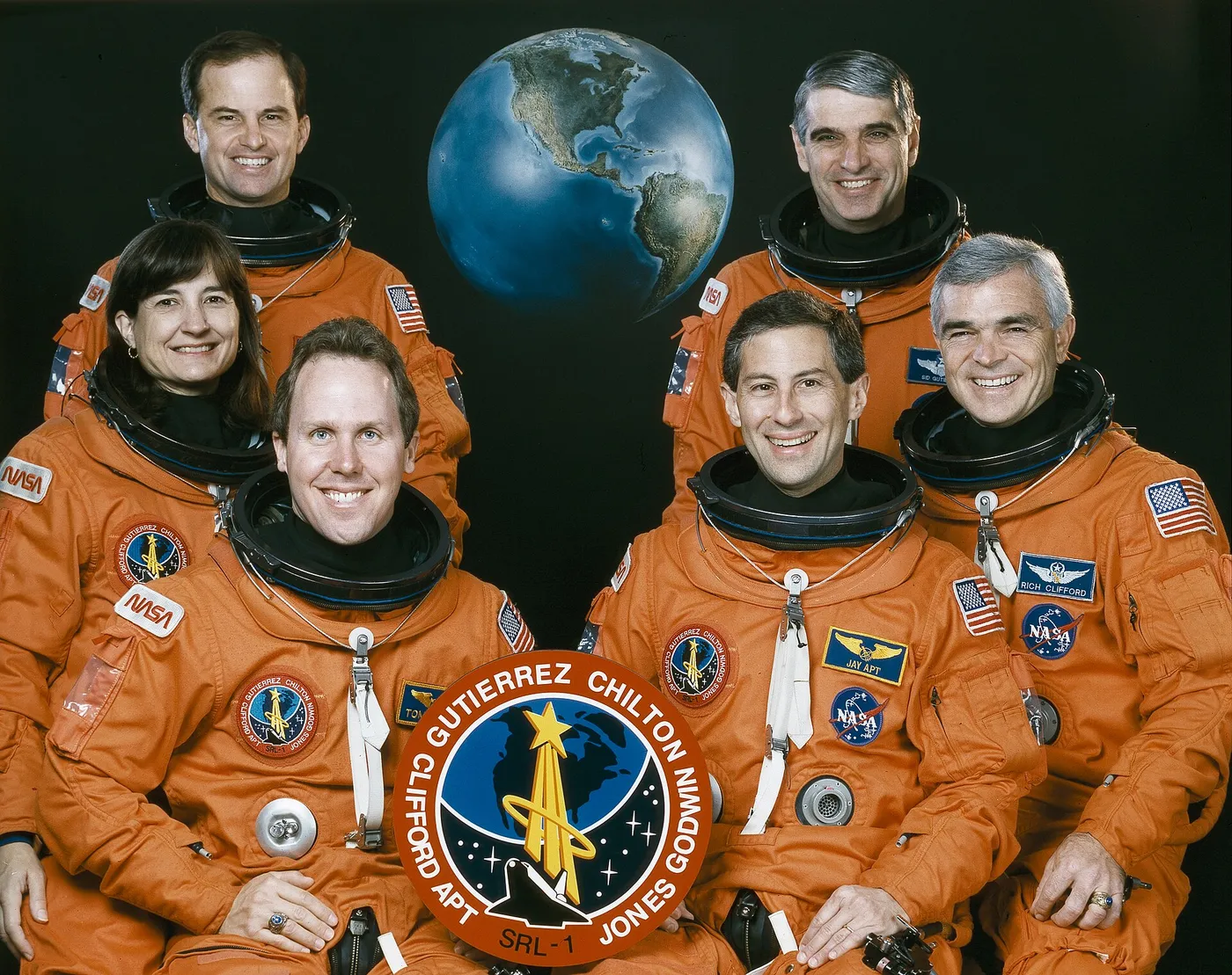
Endeavour carried the first Space Radar Laboratory in April 1994, turning the payload bay into a powerful Earth-imaging instrument. Using radar that could see through clouds and darkness, the crew of six mapped the planet's surface in unprecedented detail, studying forests, wetlands, volcanoes and geology across carefully chosen sites around the globe.
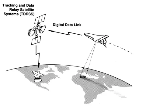
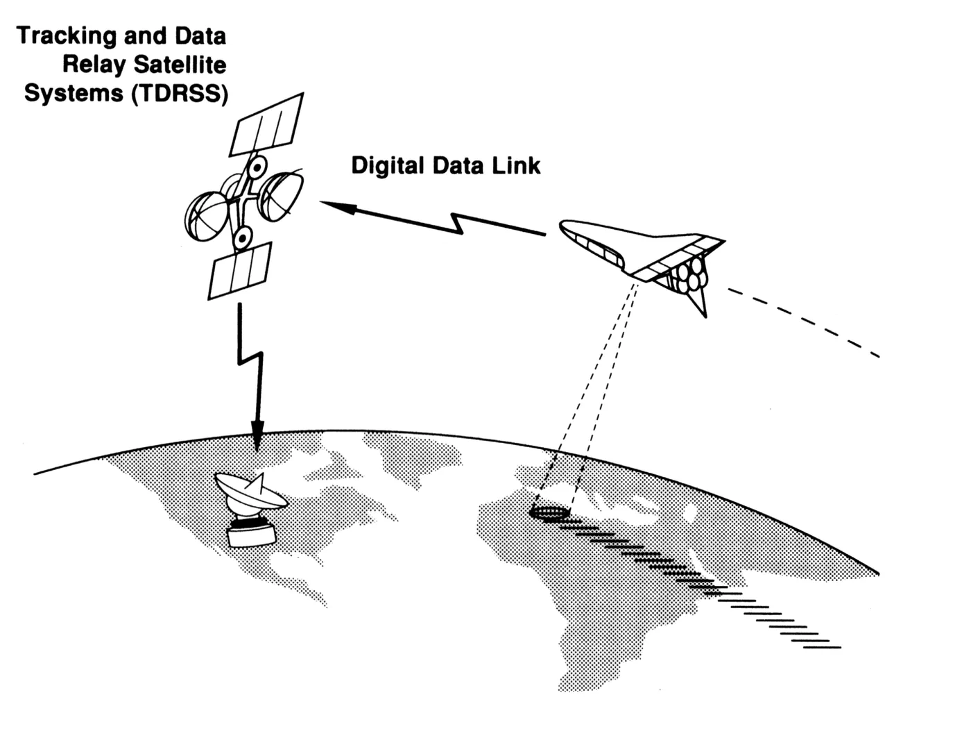
Flying around the clock in two shifts, the astronauts coordinated their radar passes with teams on the ground making matching measurements, so the space data could be checked and calibrated. The eleven-day mission demonstrated how radar from orbit could monitor the environment and track change over time, and it set up a reflight later that year to image the same regions in a different season.
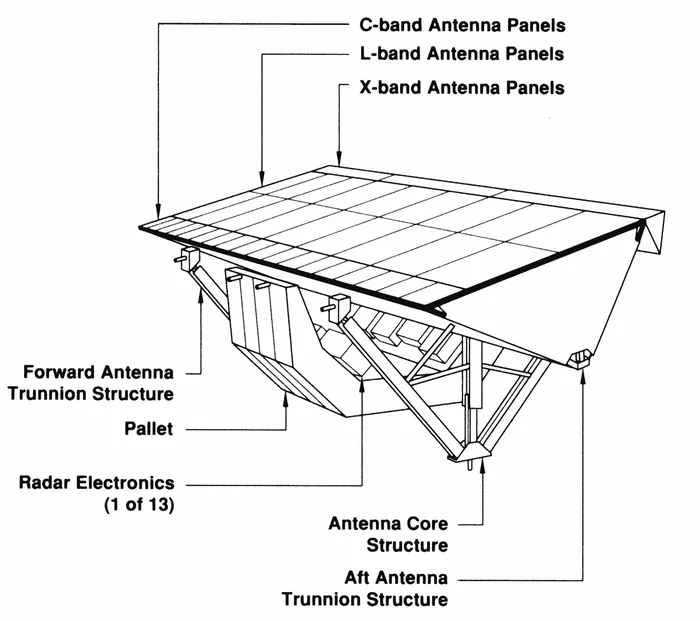
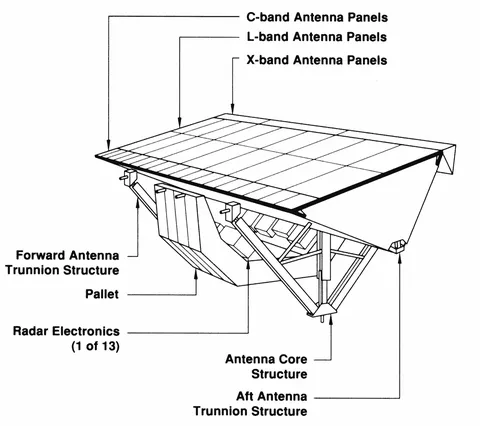
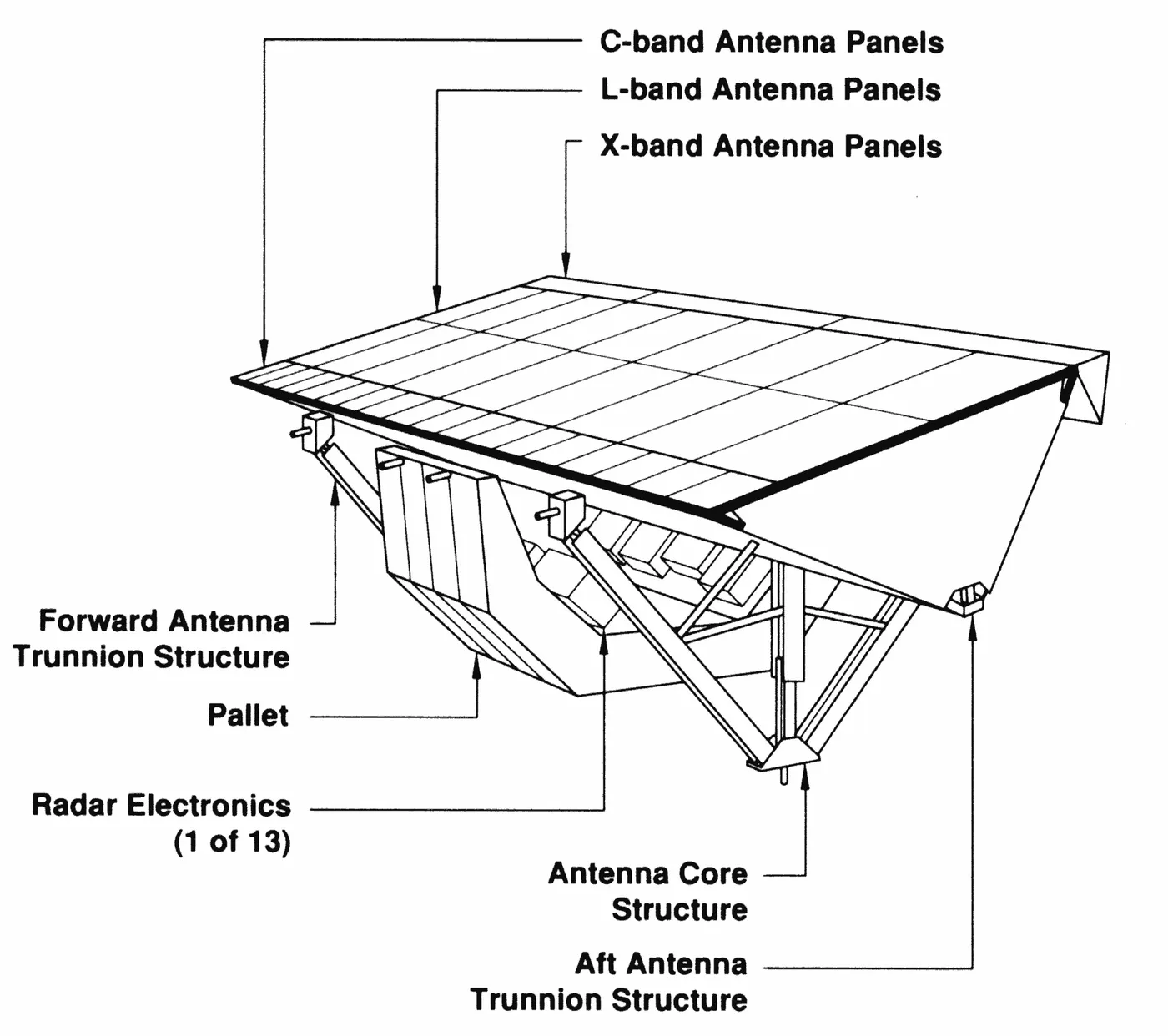
The Space Radar Laboratory turned Endeavour into an Earth-observing satellite for eleven days. Its instruments imaged the ground with radar at three wavelengths and in multiple polarisations simultaneously — a combination no orbiting radar had carried before, and one that reveals quite different things depending on the wavelength: surface roughness at one, vegetation structure at another, soil moisture beneath at a third.
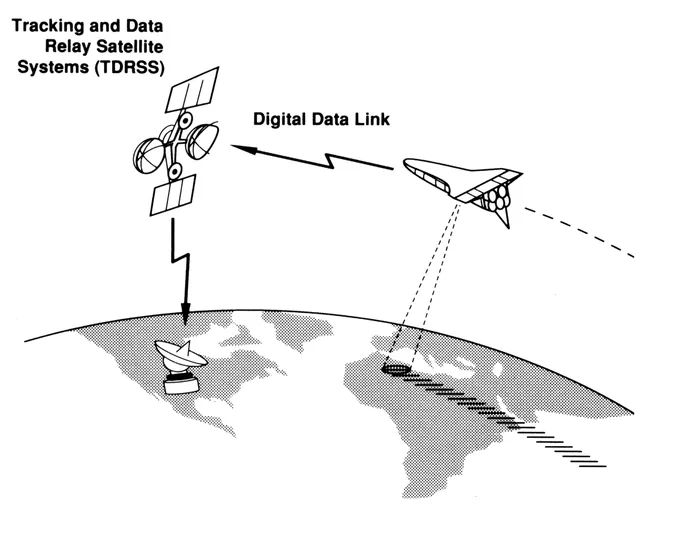
Radar sees through cloud and works at night, which is precisely why it was chosen. The mission imaged rainforest and desert, glaciers and wetlands, mapping around fifty test sites where researchers on the ground were simultaneously measuring soil moisture and biomass by hand so the orbital data could be calibrated against reality.
The results fed a generation of work on deforestation, ice sheet motion and flood mapping, and the same hardware flew again six months later to capture the same places in a different season. It also proved the technique that Endeavour would use in 2000, on a far more ambitious flight, to map the topography of most of the planet.