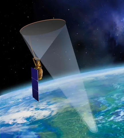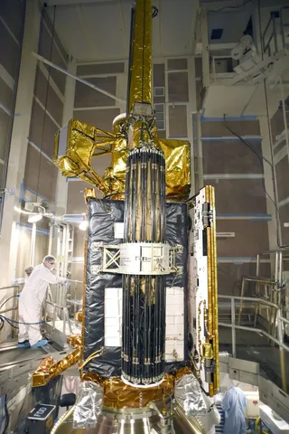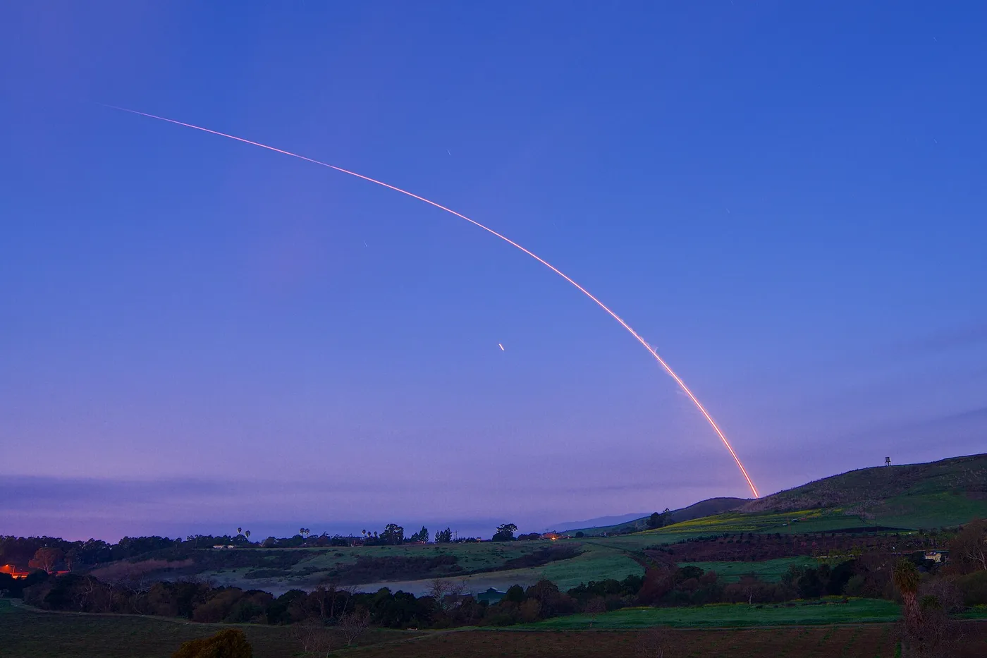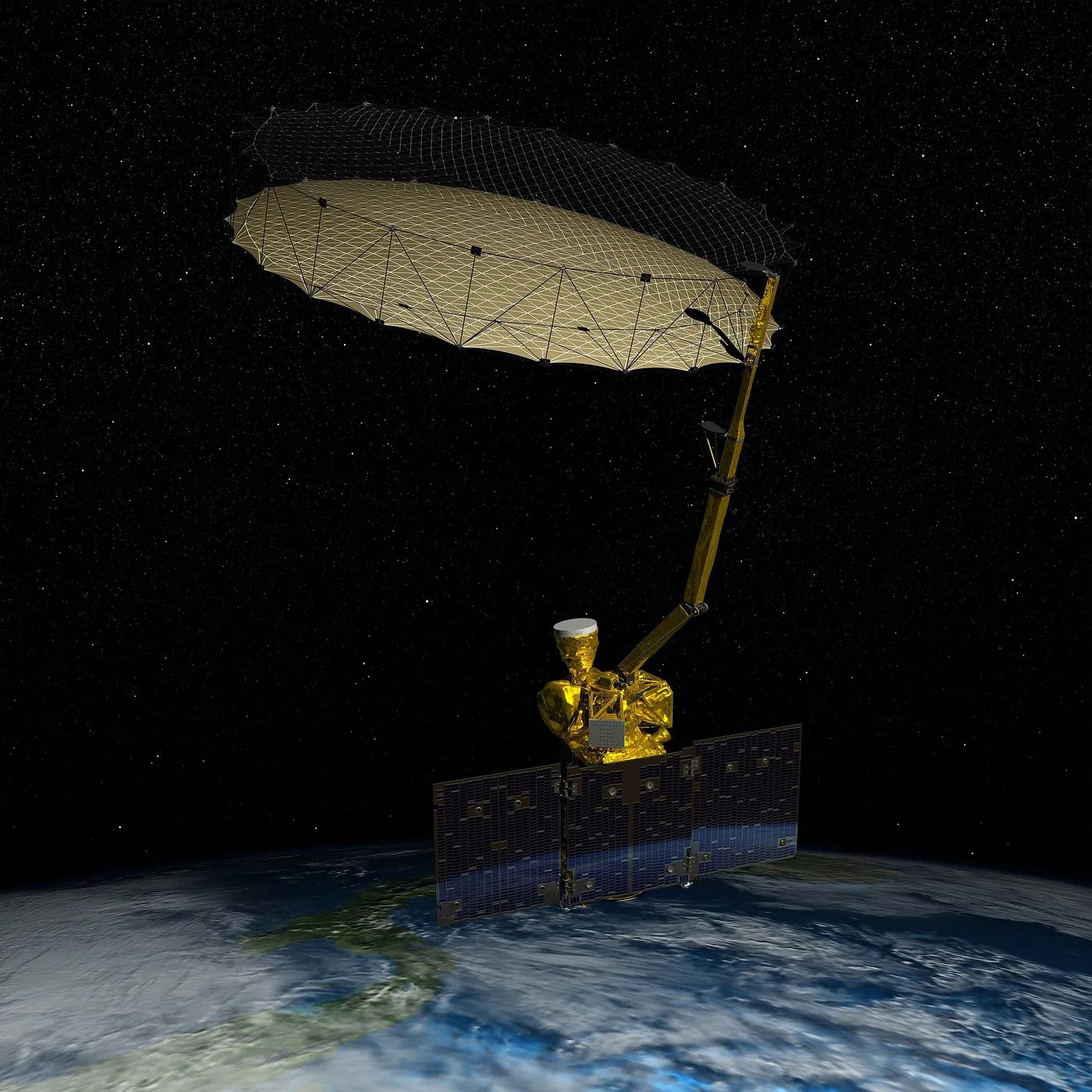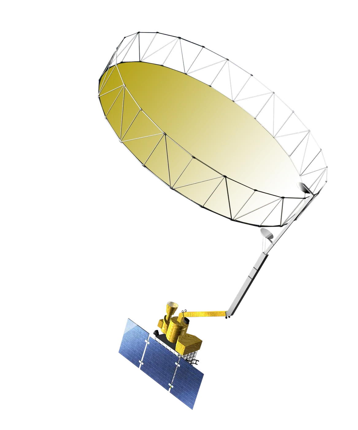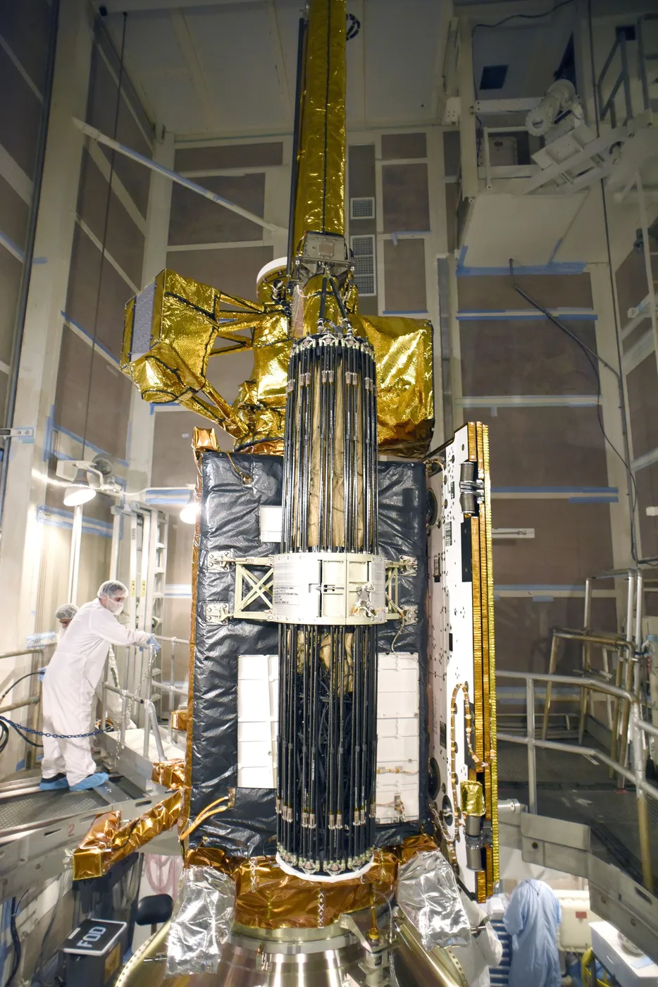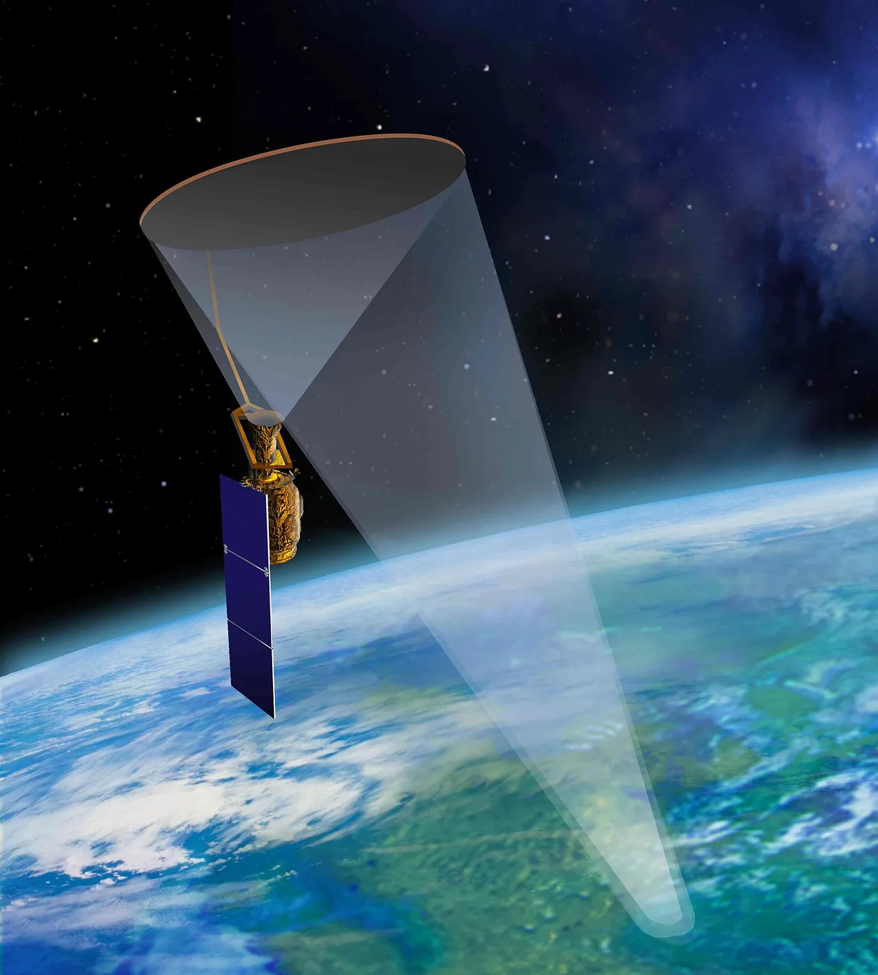

SMAP measures how wet the top few centimetres of soil are, everywhere, every two to three days. Soil moisture controls how rainfall divides between runoff and evaporation, how much water plants have available, and how much of the sun's energy goes into heating the air rather than evaporating water — which makes it a central variable in both weather and agriculture.
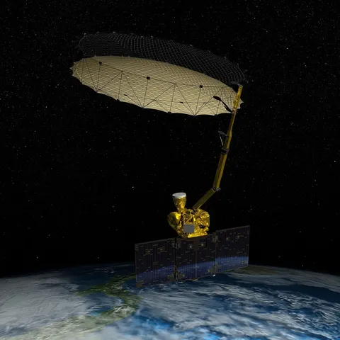
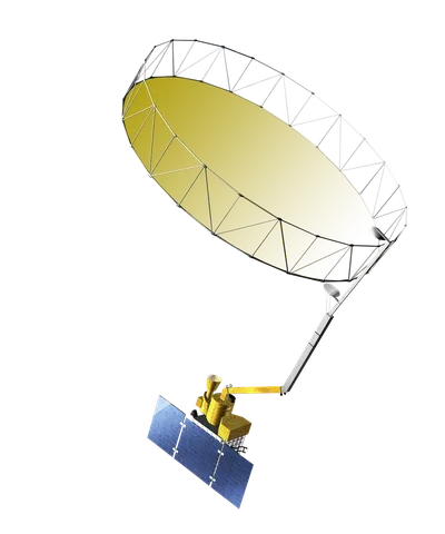
It was designed to combine two instruments: a radiometer with good accuracy but coarse resolution, and a radar with fine resolution but greater sensitivity to surface roughness. Merging them would have given both.
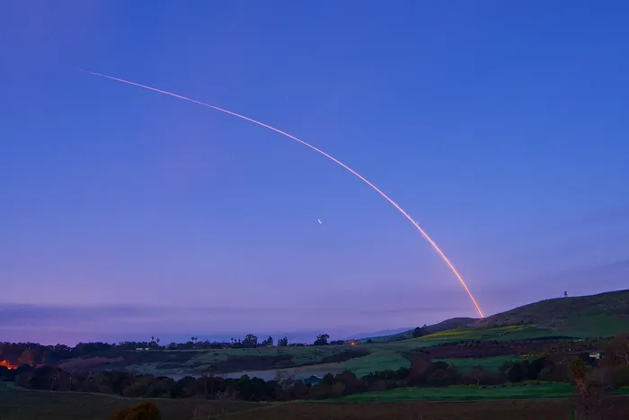
The radar failed after about three months when its power amplifier stopped working, and could not be recovered. The mission continued on the radiometer alone, losing the fine spatial detail that had been a significant part of its justification.
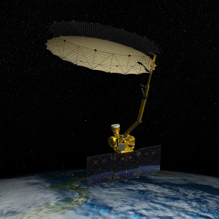
The team then recovered much of it by other means, combining the radiometer with radar data from European Sentinel-1 satellites that were already flying for other purposes — an improvised replacement using another agency's hardware, producing a high-resolution product that had not been planned.
Its data now feeds drought monitoring, flood prediction, crop yield forecasting and numerical weather prediction, and it has been used to map freeze-thaw cycles across the boreal forest — the timing of which controls the length of the northern growing season and the release of carbon from thawing soils.