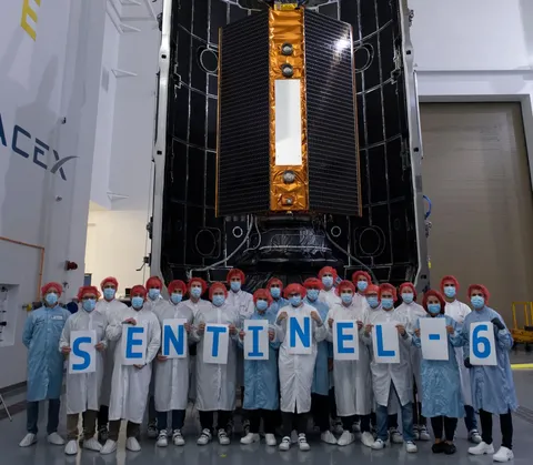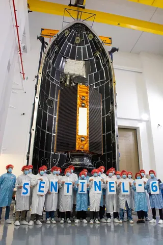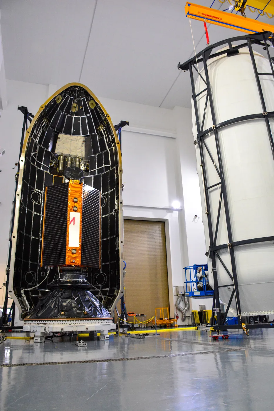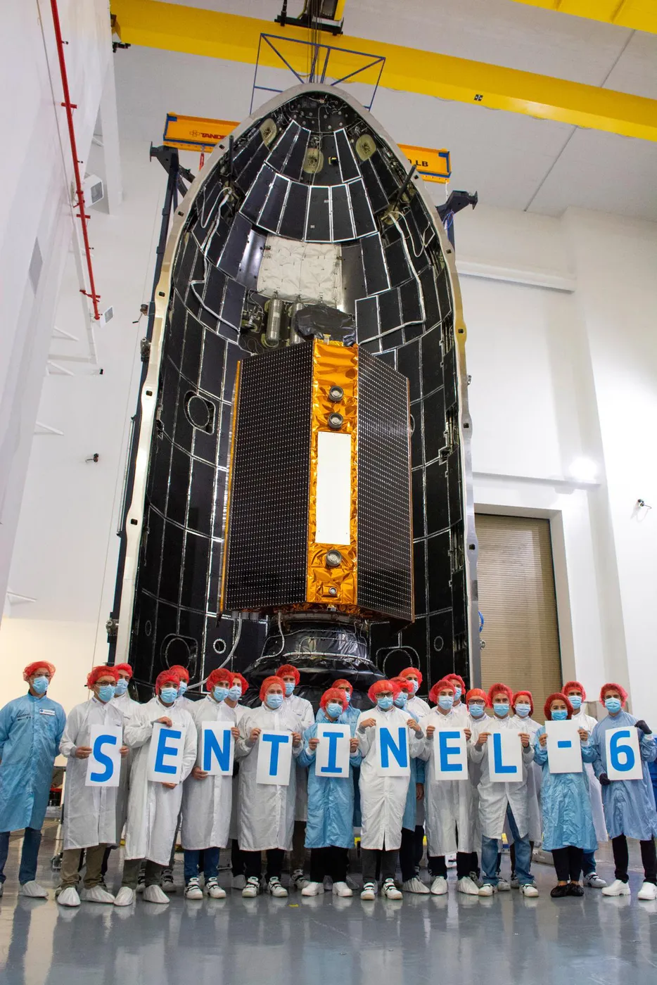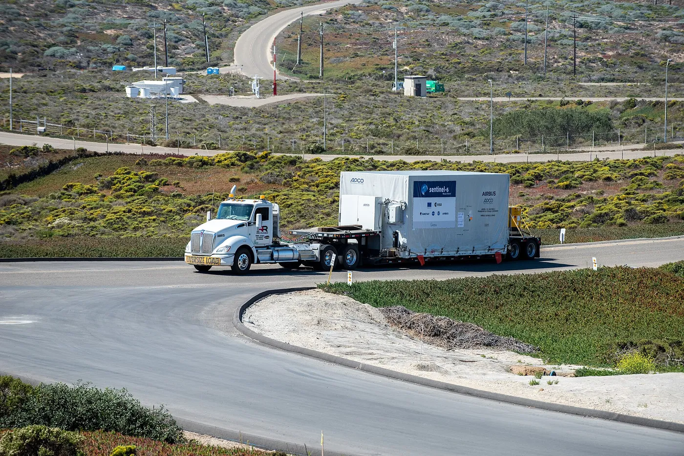

Sentinel-6 Michael Freilich continues the reference sea-level measurement begun by TOPEX/Poseidon in 1992, and its existence represents an unusual institutional commitment: a jointly funded American and European mission with a guaranteed successor already contracted, explicitly to protect a record that has become too valuable to interrupt.
It adds a radar altimeter operating in a new mode that improves measurements near coastlines and over inland water — historically the weakest part of altimetry, and the part most relevant to people living near the sea.
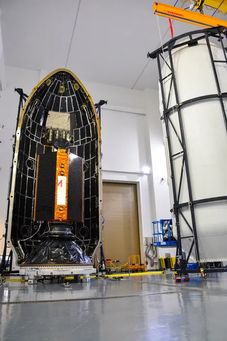
It also carries a radio occultation instrument, measuring how GPS signals bend as they pass through the atmosphere on the limb, which yields extremely accurate temperature profiles used both for weather forecasting and for detecting long-term atmospheric warming.
The satellite is named for Michael Freilich, who led NASA's Earth science division for a decade and was a driving force behind the sea-level record; he was terminally ill when the naming was announced and died several months before launch.
It flew in tandem with Jason-3 for a year of cross-calibration before taking over as the reference mission, preserving the same overlap discipline that has maintained the record's integrity across four satellite generations and thirty years.