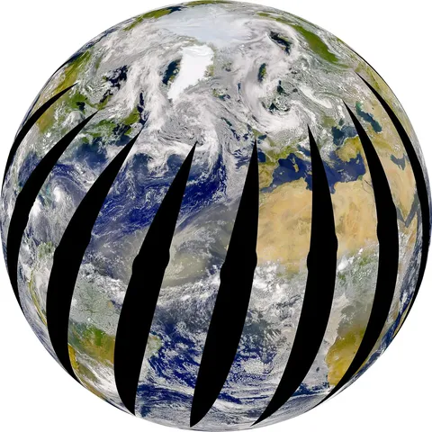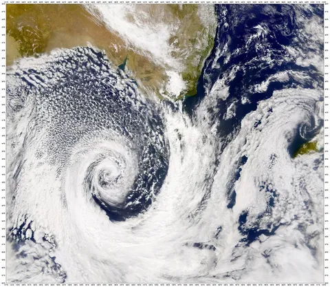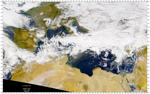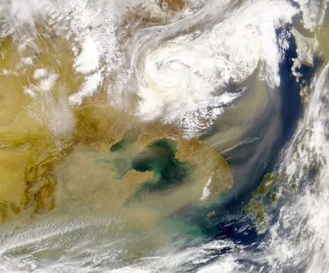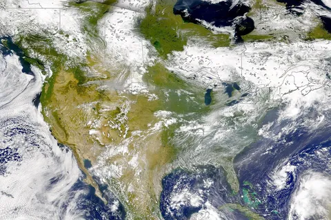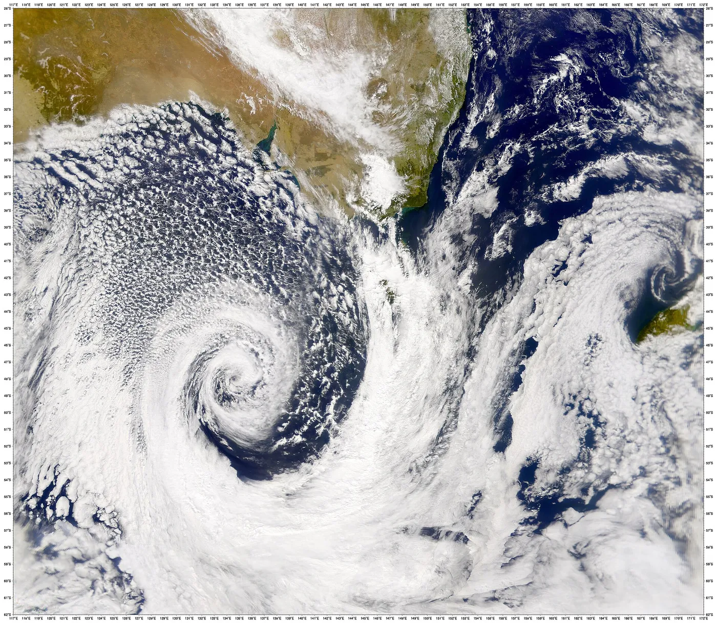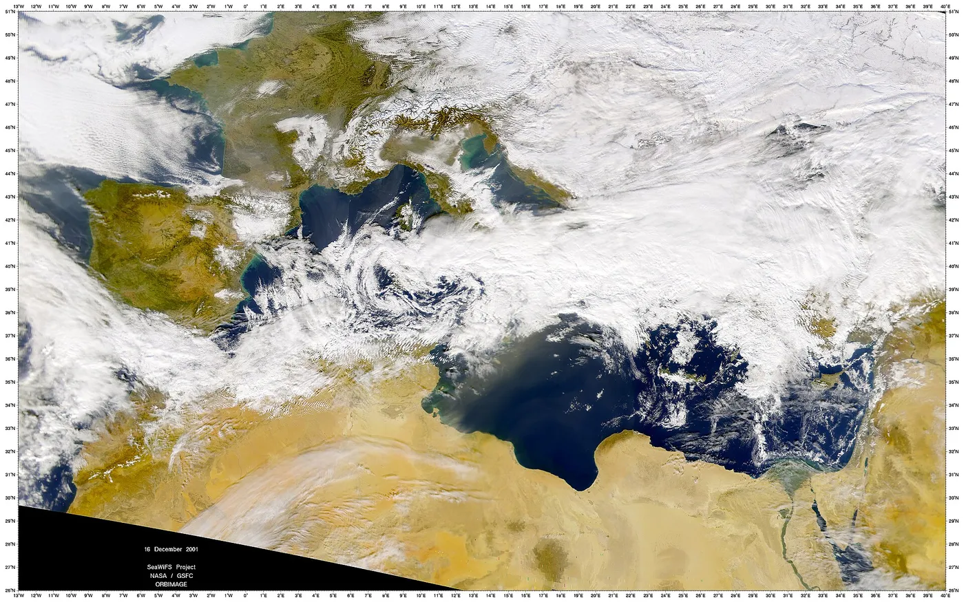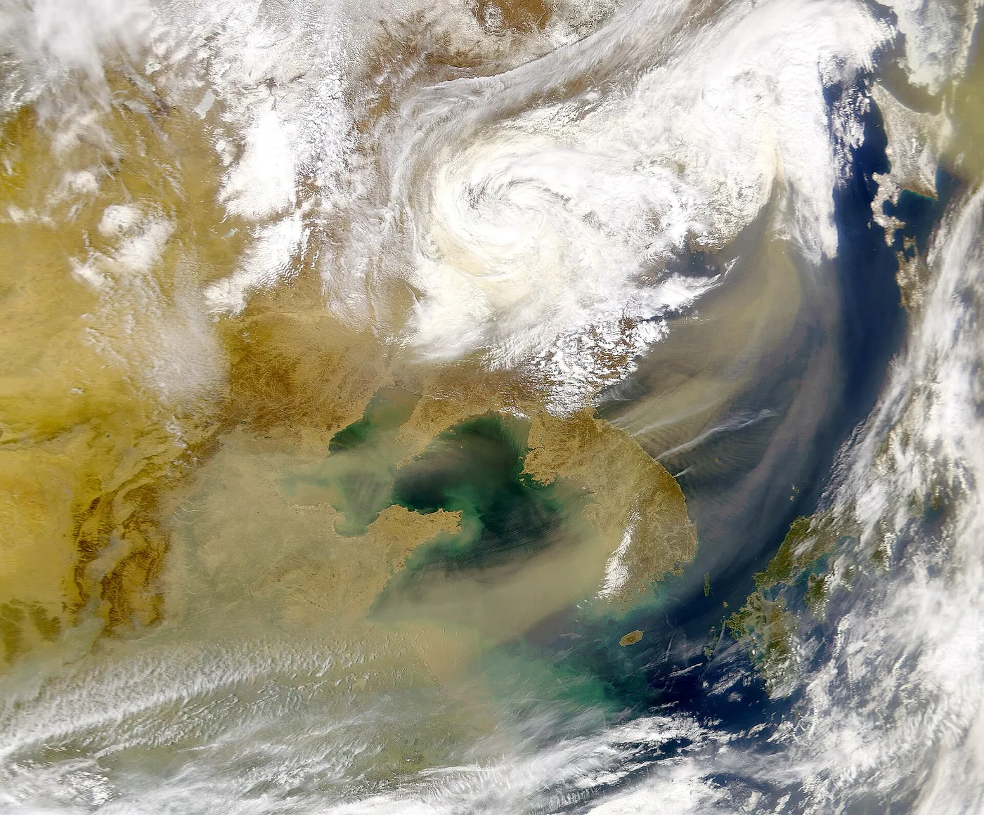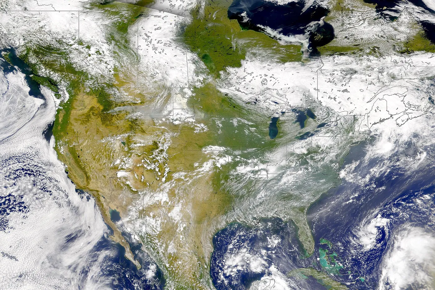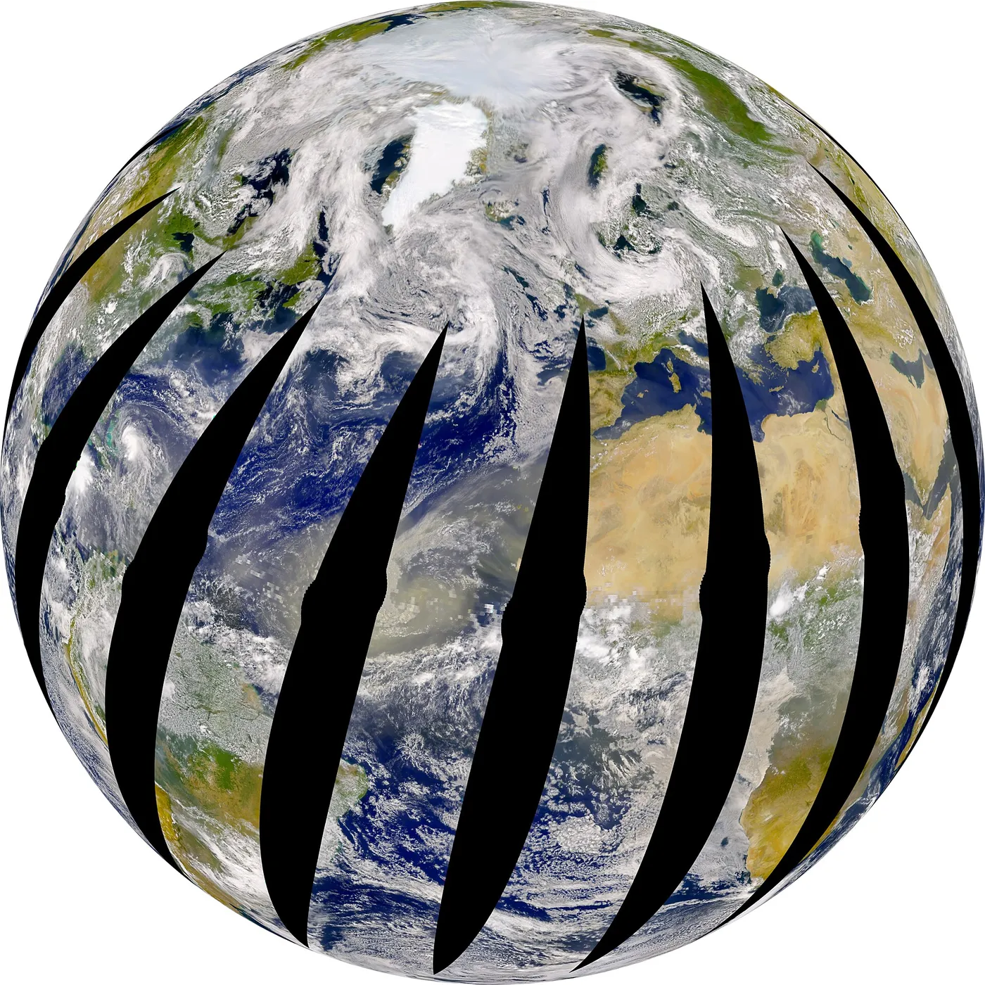

SeaWiFS measured the colour of the ocean, which sounds trivial and is not. The precise shade of blue or green reflects the concentration of chlorophyll in the surface water, and chlorophyll indicates phytoplankton — the microscopic plants that form the base of the marine food web and produce roughly half the oxygen on Earth.
Mapping them globally, every couple of days, for over a decade produced the first sustained record of the ocean's biological productivity. It showed how blooms develop and decay with the seasons, how they respond to El Niño, and how ocean regions differ in fertility.
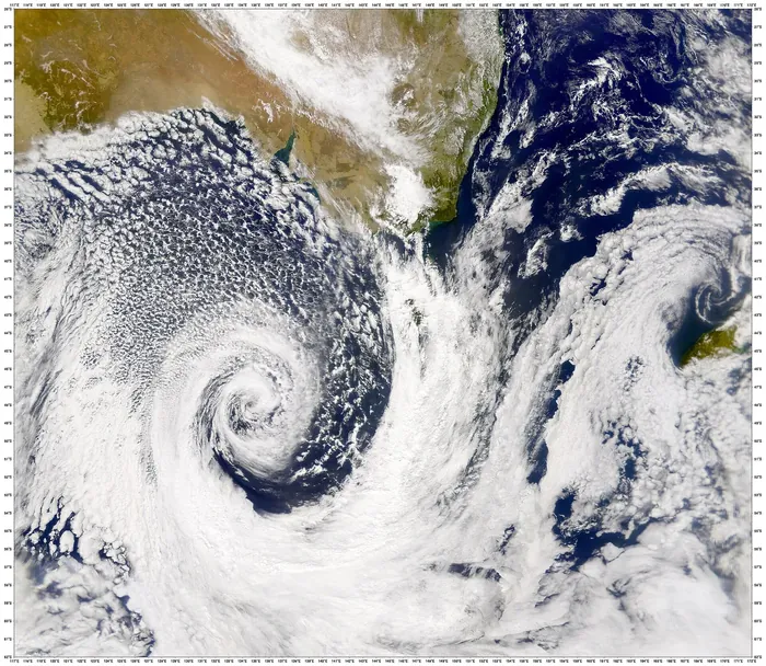
Combined with land vegetation data from the same instrument, it produced the first global picture of the entire biosphere's productivity — an image of the living planet, sea and land together, that became one of the defining scientific visualisations of the era.
The mission was commercially operated under an unusual arrangement: the spacecraft was owned by a private company that sold data commercially, while NASA purchased the science data under contract. The model was watched closely as a possible template and was not widely repeated.
It operated for thirteen years until 2010, and its calibration is the anchor for the ocean-colour record that later instruments have continued. That continuity matters enormously: detecting a trend in ocean productivity requires stitching sensors together with a precision that only careful overlap can provide.