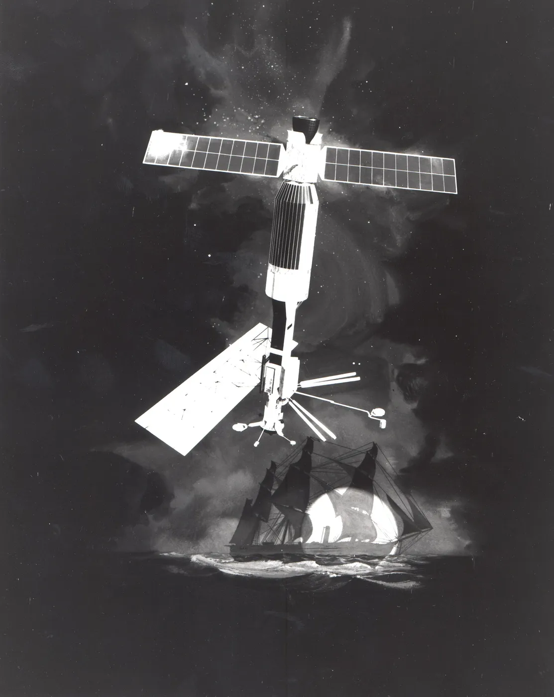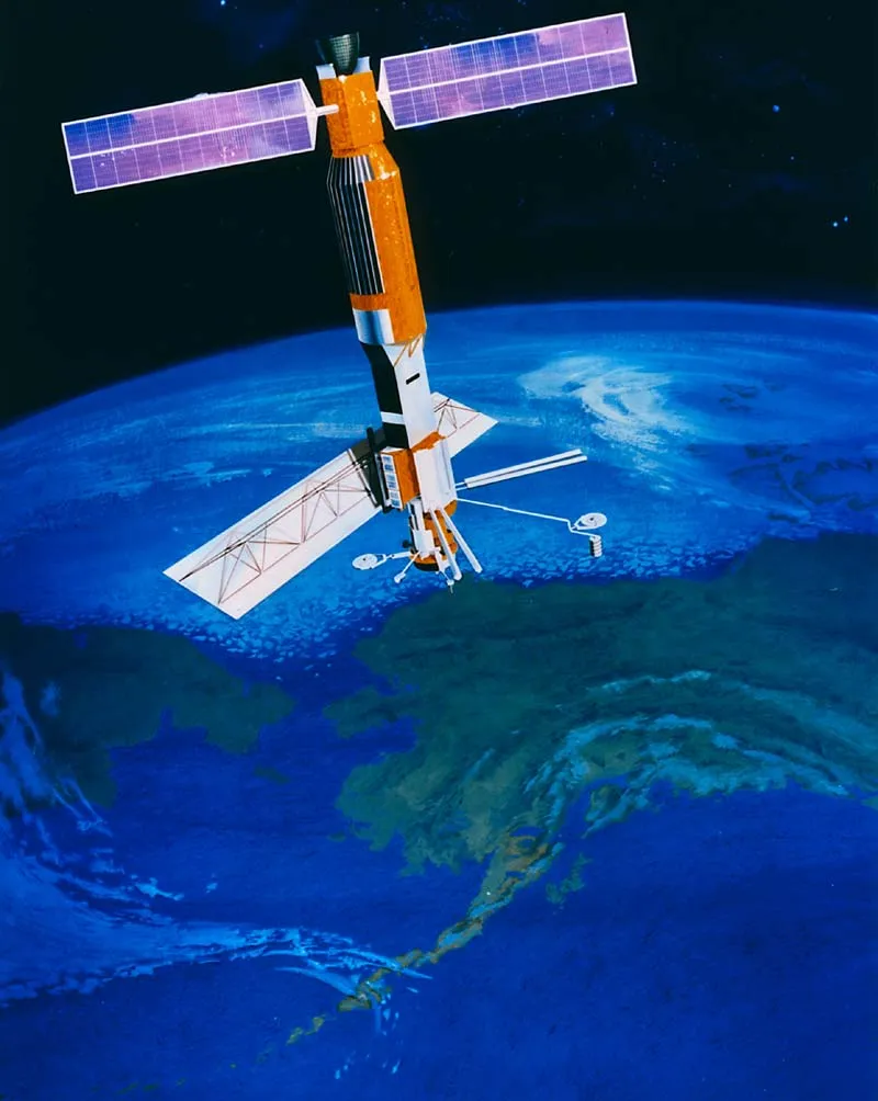

Seasat was the first satellite dedicated to observing the oceans, and it carried an instrument that changed remote sensing permanently: a synthetic aperture radar, which synthesises the resolution of a very large antenna by combining signals collected as the spacecraft moves along its orbit.
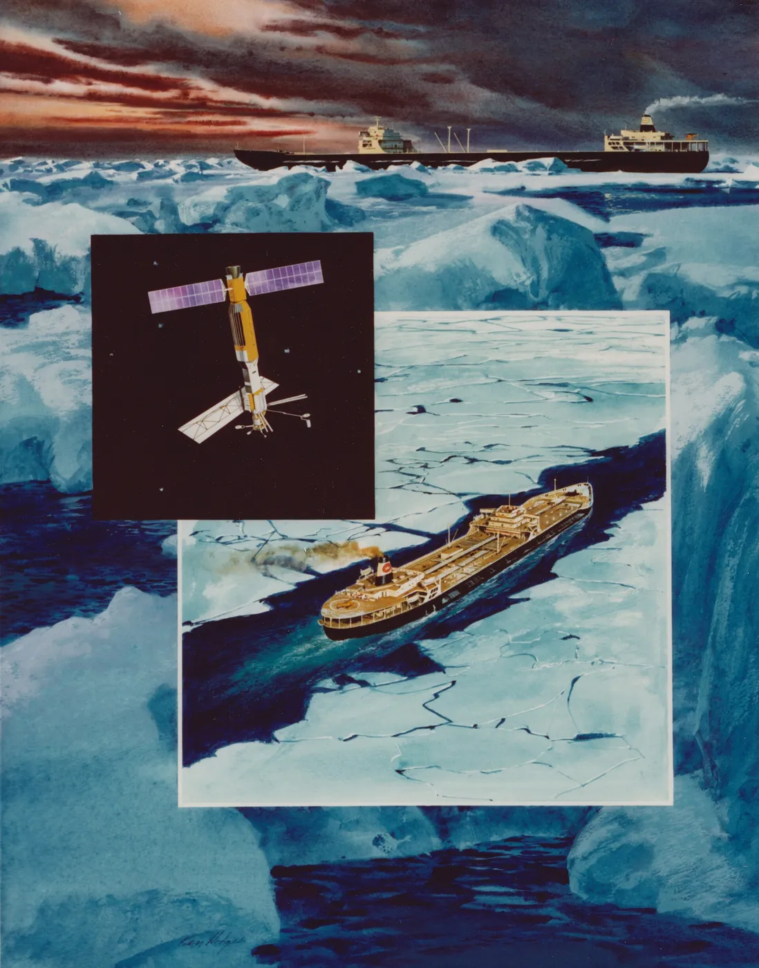
Radar sees through cloud and works at night, which matters enormously over oceans that are frequently overcast. In 105 days it mapped surface winds, wave heights, sea-surface temperature and sea ice, and produced radar imagery of ocean surface features — including, unexpectedly, internal waves and the wakes of ships.

It also carried a radar altimeter measuring the height of the sea surface to within about ten centimetres, revealing that the ocean is not level — it has hills and valleys metres high, shaped by currents, tides and the gravitational lumpiness of the sea floor beneath.

The mission ended abruptly after 105 days when a short circuit in the electrical system drained the power. The failure was traced to a slip ring assembly, and the loss of a spacecraft with such obvious military utility generated persistent conspiracy theories that it had been switched off deliberately.
In three and a half months it produced more data about the oceans than the entire history of ship-based observation, and every subsequent ocean satellite descends from it. Its altimetry lineage runs directly to TOPEX/Poseidon and the Jason series that now measure global sea-level rise.