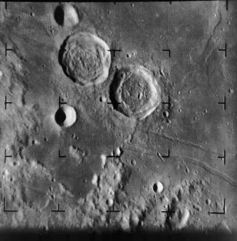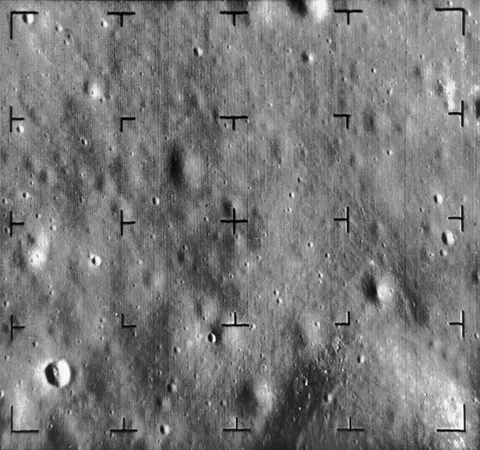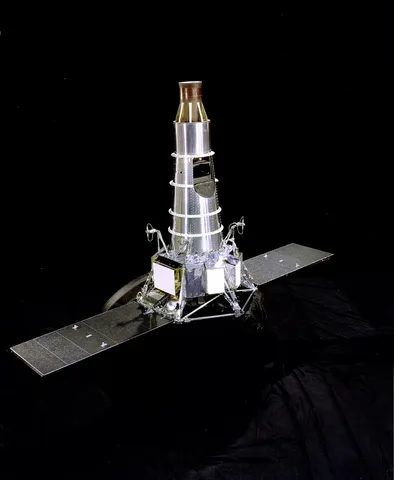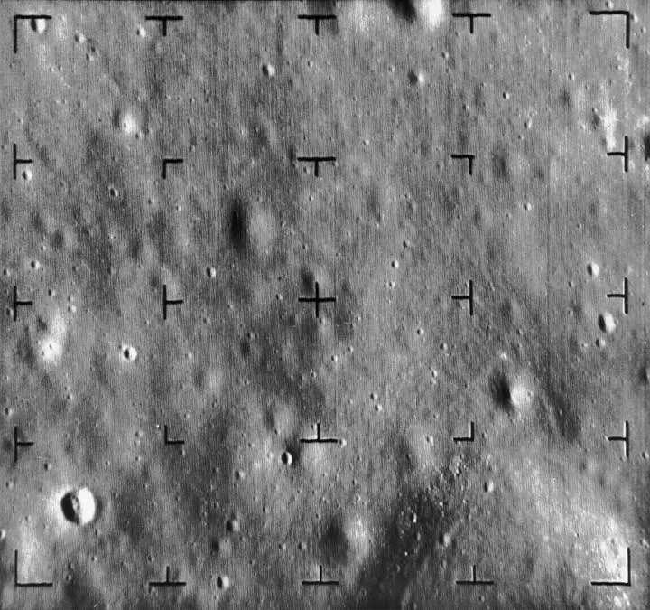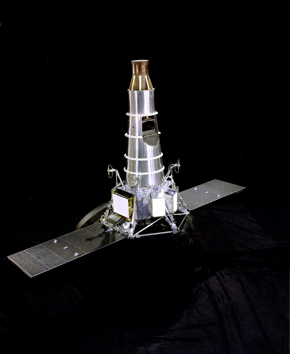

Ranger 8 flew on 17 February 1965 with the formula now proven, and its target was chosen with the coming Apollo landings firmly in mind: the Sea of Tranquility, a broad and relatively smooth expanse that mission planners were already studying as a possible touchdown site.
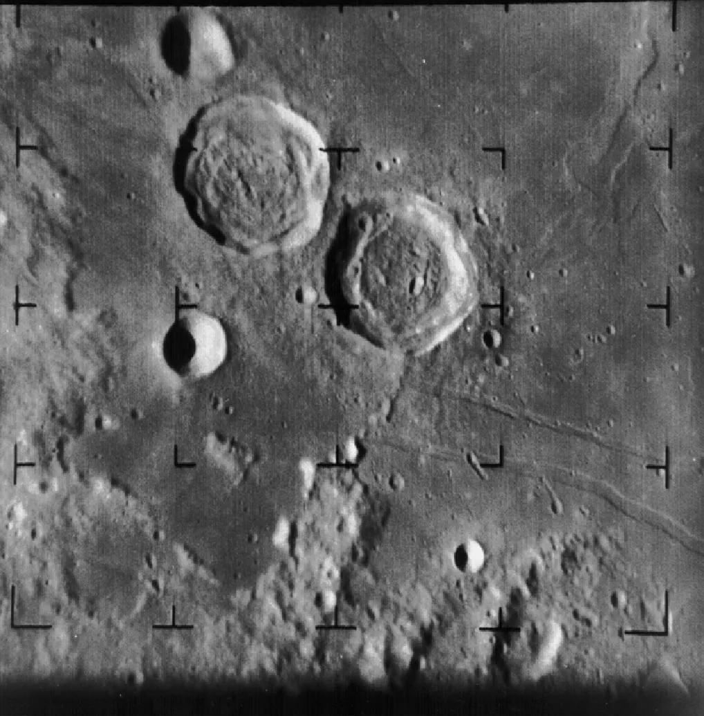
The spacecraft performed beautifully. Sweeping in toward the surface, its cameras returned 7,137 photographs — more than any other flight in the series — ranging from wide panoramas of the plain down to close views of individual craters and boulders in the last seconds before impact.
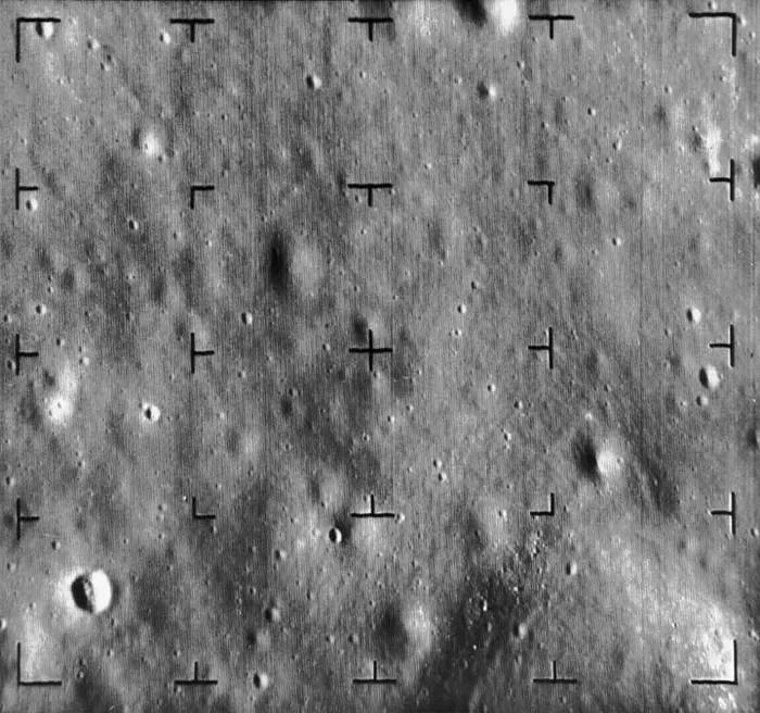
That flood of imagery charted the intended landing region in extraordinary detail and confirmed that Ranger had become a dependable instrument rather than a gamble. It was a fitting piece of foreshadowing: a little over four years after Ranger 8 surveyed the Sea of Tranquility, that same plain became the place where Apollo 11 set down and the first humans stepped onto the Moon.
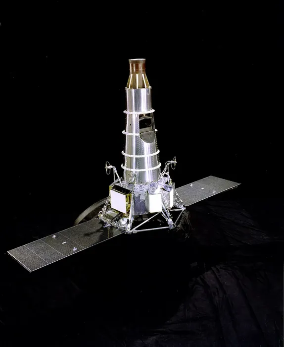
Ranger 8 photographed the Sea of Tranquility in February 1965, returning 7,137 images over the final 23 minutes of its flight — more than its predecessor and covering a wider area, because the trajectory was deliberately shallower to survey more ground rather than to close in on a single point.
The region it mapped included terrain that would be studied intensively over the following four years, and its images contributed directly to the selection of the site where Apollo 11 landed some four years later, roughly seventy kilometres from where the spacecraft itself struck the surface.