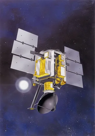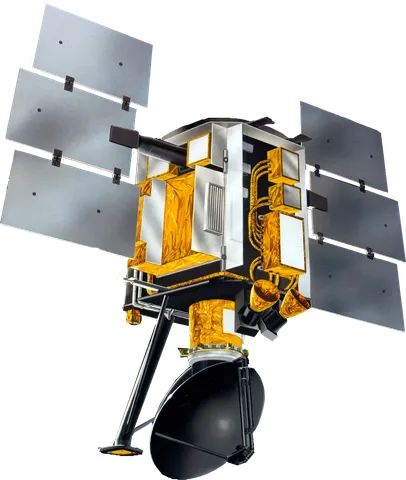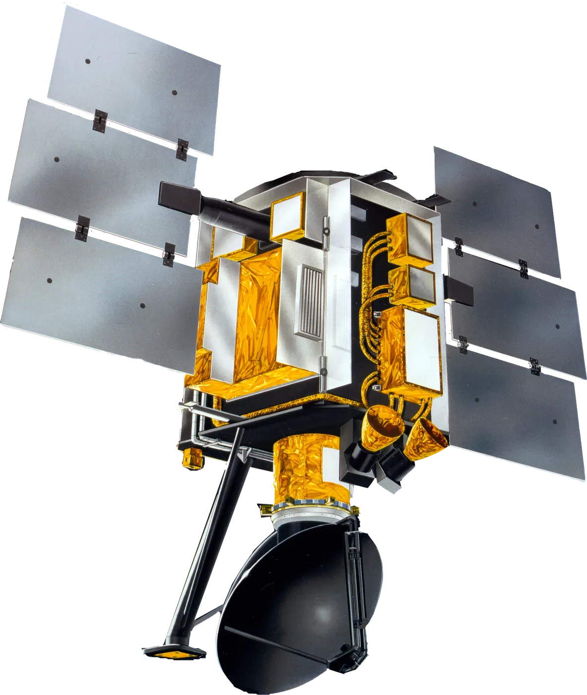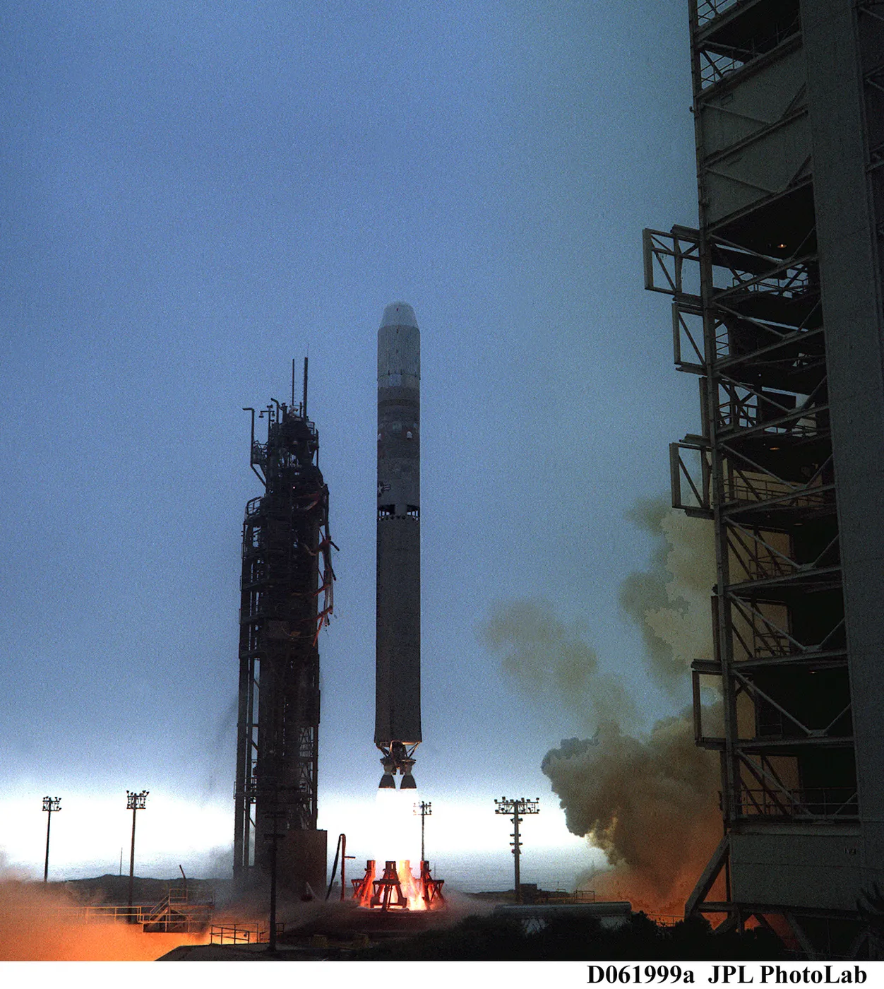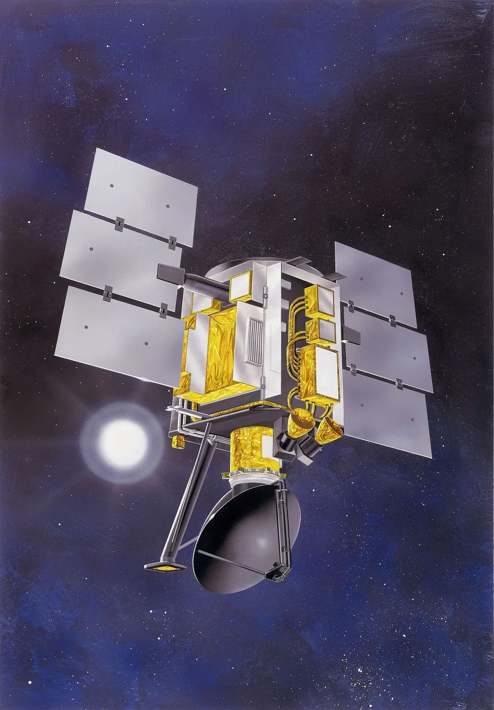

QuikSCAT measured wind over the ocean by bouncing microwaves off the surface and reading the roughness of the returning signal. Small capillary waves grow with wind speed, and their orientation reveals wind direction, so a radar can determine both — over the whole ocean, through cloud, day and night.
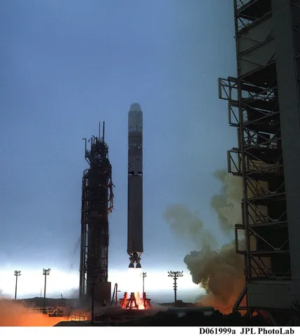
It was built and launched in about twelve months, an unusually fast turnaround prompted by the failure of a Japanese satellite carrying the previous scatterometer, which had left forecasters without a capability they had come to depend on.
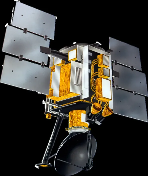
Its wind fields became a staple of marine forecasting, feeding numerical weather models and providing warnings of high winds to shipping in regions with no other observations. For tropical cyclones it revealed the extent of the damaging wind field, which is what determines who needs to evacuate.
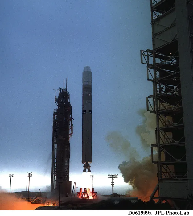
The instrument's rotating antenna finally seized in 2009 after a decade of continuous spinning, ending the wind measurements. The spacecraft continued in a reduced role as a calibration reference for other scatterometers until 2018.
Its loss was felt operationally, and the capability was eventually restored through instruments on other platforms including one mounted on the International Space Station. The episode illustrated how quickly a research measurement can become infrastructure that users assume will always be there.