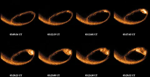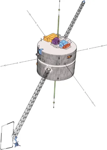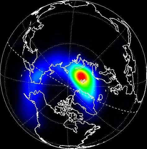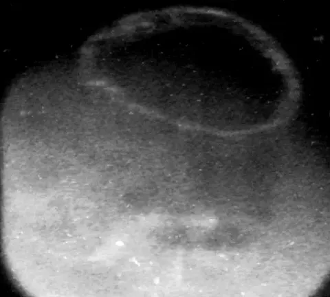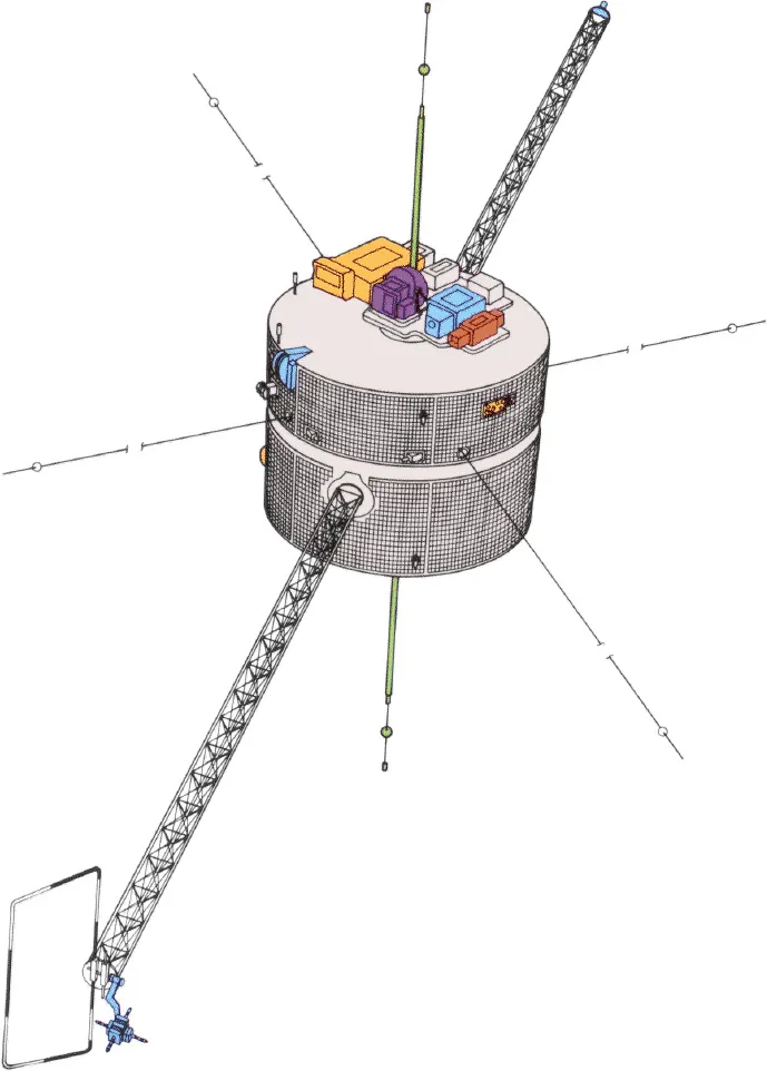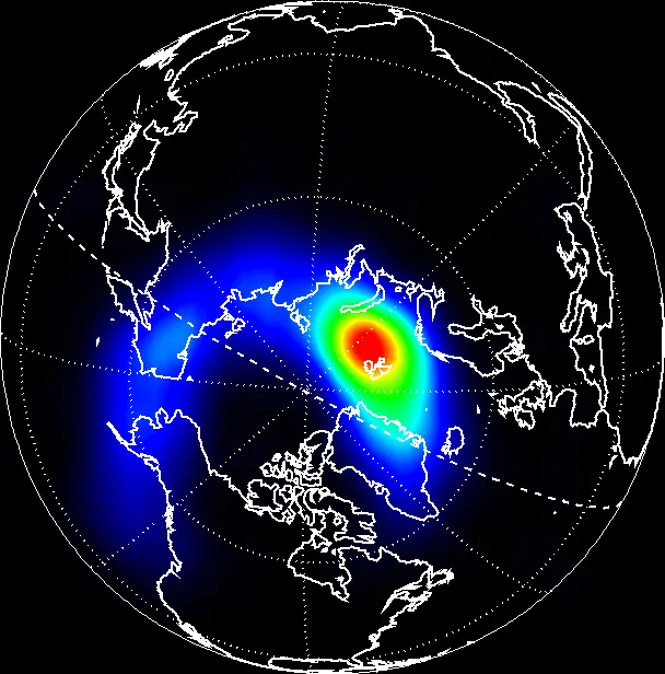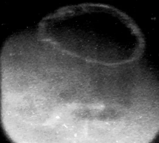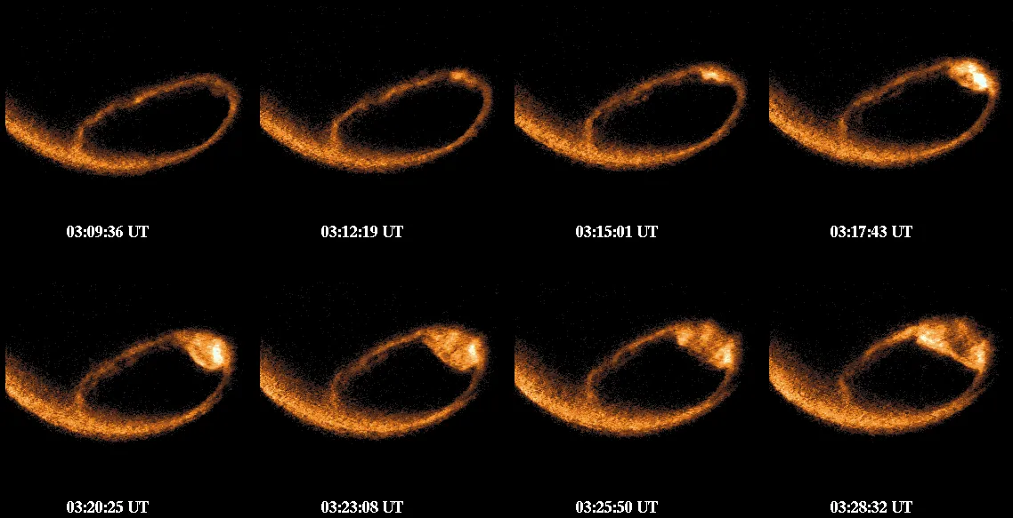

Polar was built to photograph the aurora from above. Flying a highly elliptical orbit that carried it over the northern polar region, it imaged the auroral oval continuously in ultraviolet and visible light, watching the whole ring brighten and expand during magnetic storms.
That global view was new. Ground observers see the aurora from beneath and can only sample small patches; imaging the entire oval at once showed how substorms develop — beginning in a small region and expanding explosively around the ring in minutes.
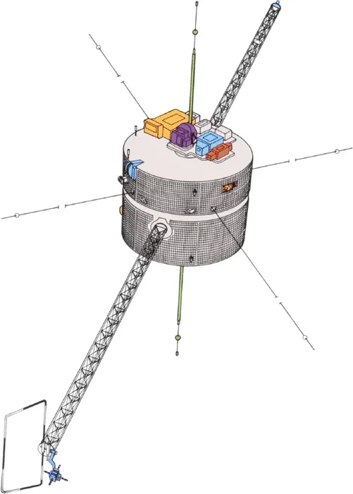
It also measured the particles and fields in the region where auroral electrons are accelerated downward into the atmosphere, combining remote imaging with in-situ sampling in a way that let the cause and the effect be observed together.
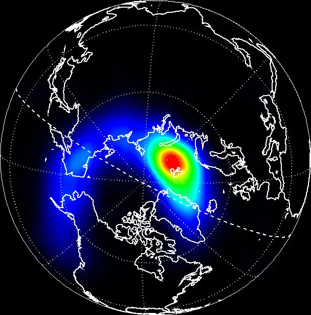
The spacecraft was part of the International Solar-Terrestrial Physics programme, a coordinated fleet with Wind, Geotail and later Cluster that deliberately distributed instruments across the different regions of the system rather than concentrating them on one spacecraft.
It also produced a scientific controversy, when one instrument was interpreted as showing small comets of water ice striking the atmosphere constantly — a claim that would have implied a substantial source of Earth's water and which was eventually attributed to instrumental noise. The mission ended in 2008.