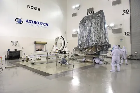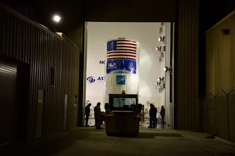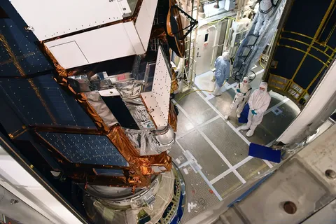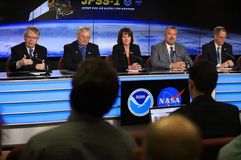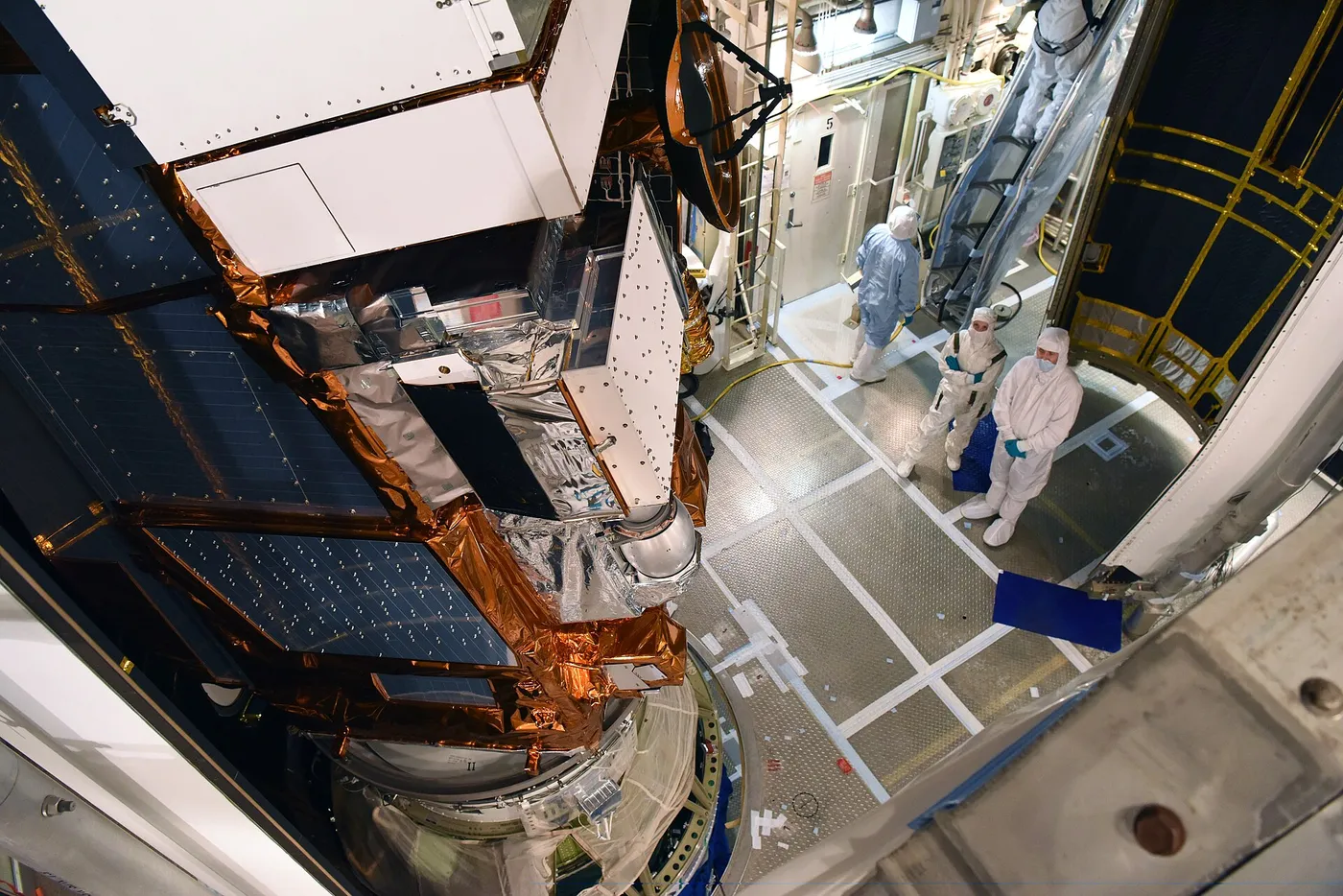

NOAA-20 is operational infrastructure rather than a science mission. It is the first fully operational satellite of the Joint Polar Satellite System, the American programme that provides the polar-orbiting weather observations underpinning numerical forecasting.
Those observations matter more than most people realise. Studies withholding polar satellite data from forecast models show substantial degradation — several days of forecast skill lost — because the vertical temperature and humidity profiles these satellites provide over oceans and poles are irreplaceable inputs.
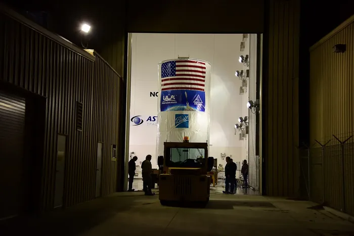
It carries the same instrument suite as Suomi NPP, including the VIIRS imager with its day-night band and an infrared sounder measuring atmospheric structure. Flying half an orbit apart from its predecessor, the two together halve the interval between observations of any given location.
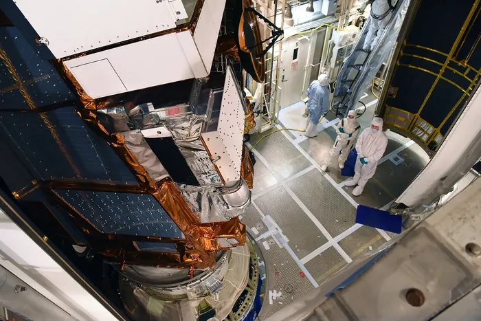
Its data feeds forecast centres worldwide within minutes of acquisition, and it supports operational products for wildfire detection, sea ice charting, volcanic ash advisories for aviation, and the hurricane forecasts issued to the public.
The programme it belongs to is funded to continue through a series of successor satellites into the 2030s. It is the least glamorous kind of space mission and among the most consequential — the reason a five-day forecast today is about as accurate as a one-day forecast was in 1980.