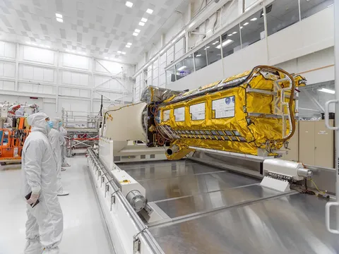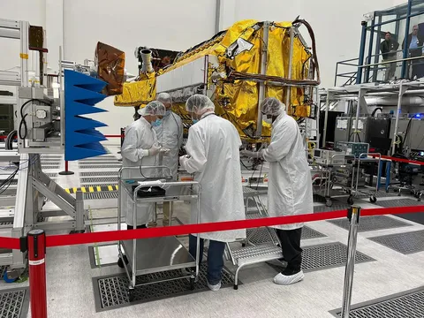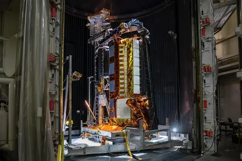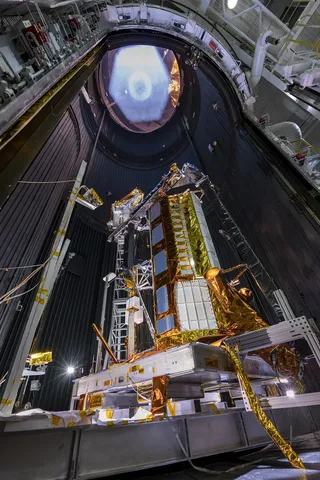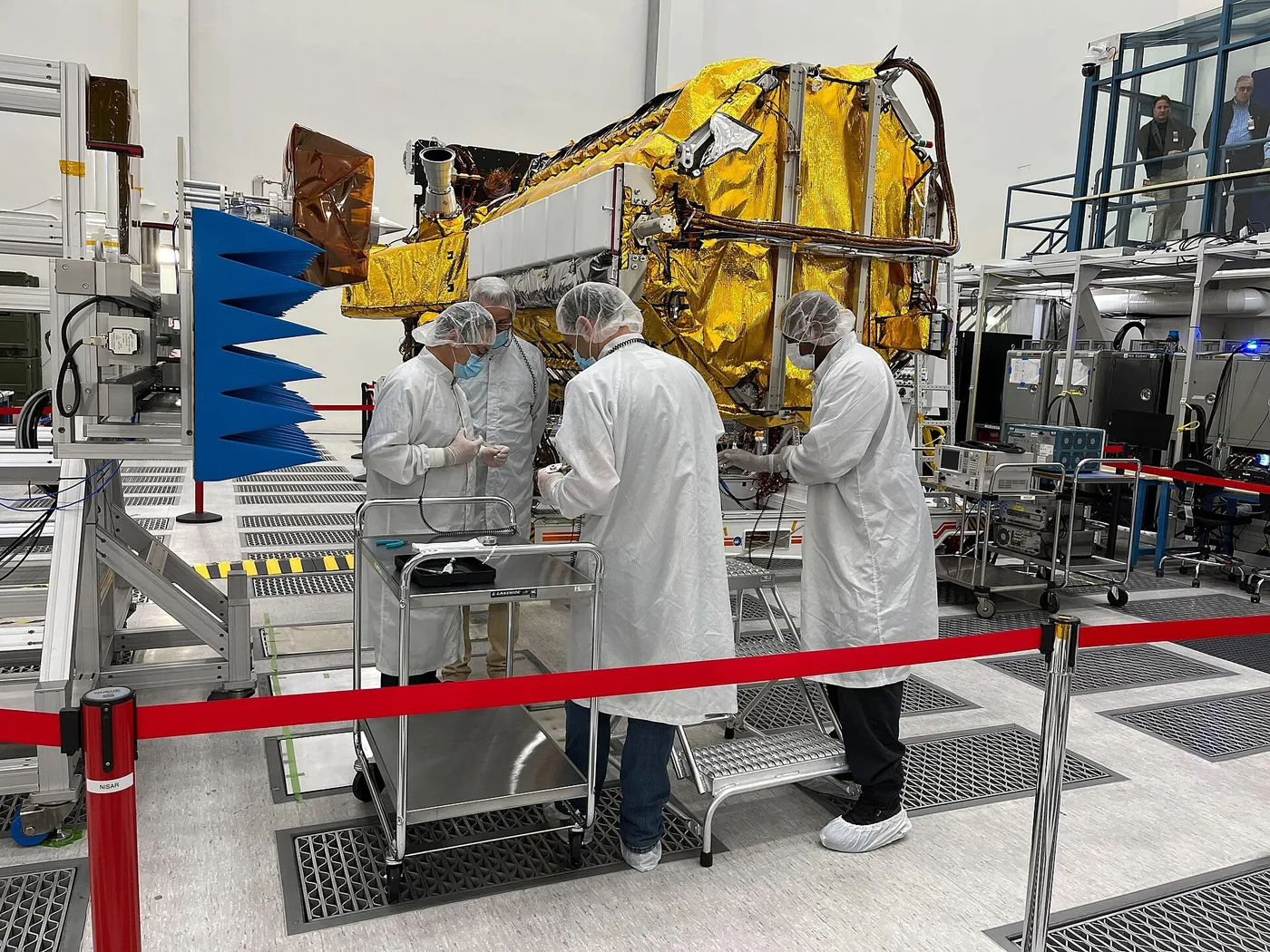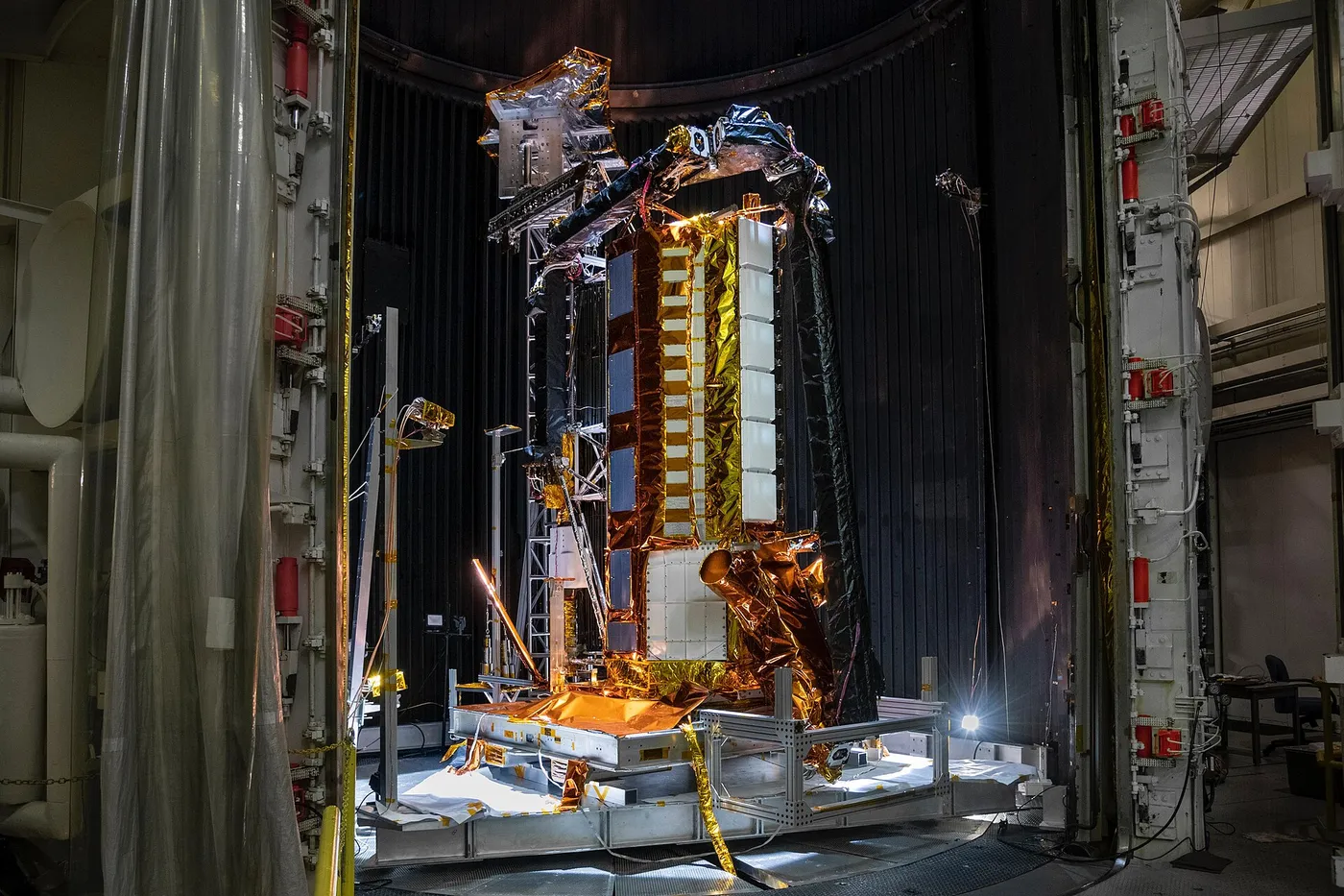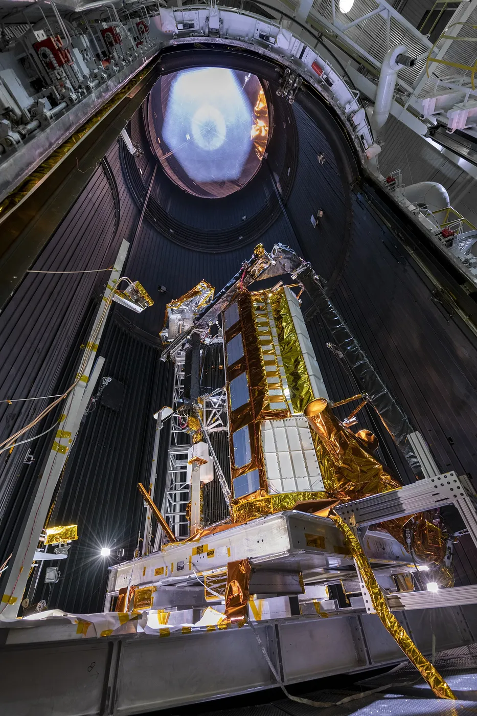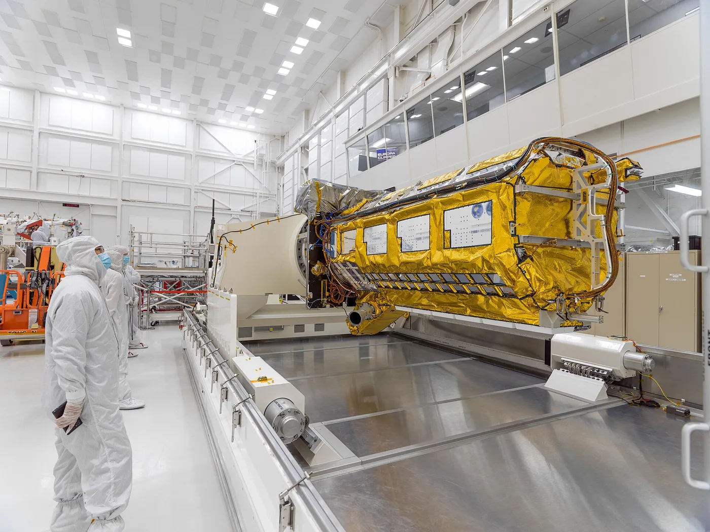

NISAR is the most expensive Earth observation satellite ever built and the first to carry two synthetic aperture radars operating at different frequencies — an American L-band instrument that penetrates vegetation and soil, and an Indian S-band one more sensitive to surface detail.
Its central capability is interferometry: comparing radar images of the same place taken days apart reveals ground movement of a few millimetres. That detects the swelling of volcanoes before eruptions, the strain accumulating along faults, the subsidence of cities pumping groundwater, and the acceleration of glaciers.
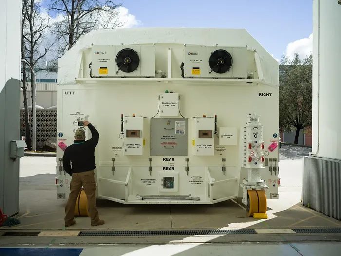
It images essentially the entire land and ice surface of the planet every twelve days, regardless of cloud or darkness, producing a continuous record of deformation rather than the sporadic coverage previous radar missions provided.
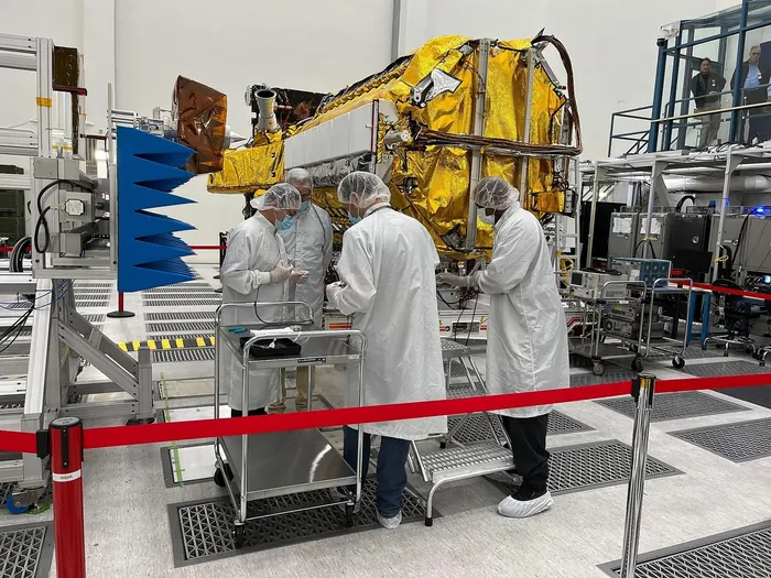
The L-band radar also penetrates forest canopy, allowing above-ground biomass to be estimated globally — a measurement central to carbon accounting and to verifying whether forest protection commitments are being honoured.
The mission is a partnership between NASA and ISRO, with India providing the launch and the S-band radar. It took more than a decade to develop and launched in 2025, and its data is being released freely, which for an instrument of this capability is a significant policy choice.