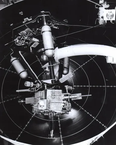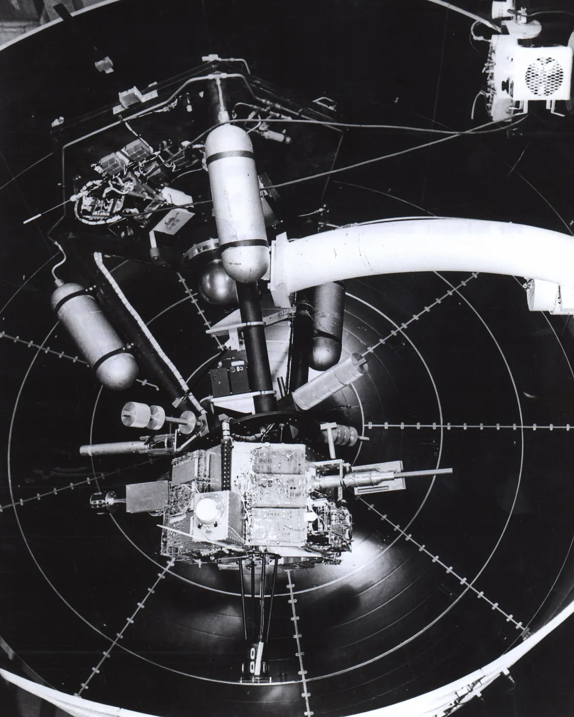

Nimbus-5 carried the first passive microwave imager, and it changed polar observation permanently. Microwaves at the frequencies it used pass through clouds and require no sunlight, which means sea ice could be mapped continuously — through the polar winter darkness and the persistent cloud that defeats visible and infrared instruments.
Before this, sea ice extent was known from scattered ship reports and occasional aircraft surveys, with enormous gaps. Afterwards it could be mapped completely, every few days, in both hemispheres.
The record that began here is the reason Arctic sea ice decline is documented so unambiguously. A continuous, consistent, all-weather measurement stretching back to the early 1970s is precisely what is needed to distinguish a trend from natural variability, and few environmental records are as clean.
The instrument also measured atmospheric water vapour, rainfall over oceans and soil moisture — all quantities to which microwave emission is sensitive and none of which had previously been observable globally.
It operated for about three years. Its successors have maintained the microwave record with careful inter-calibration ever since, and the resulting fifty-year sea ice series is among the most frequently reproduced datasets in climate science.