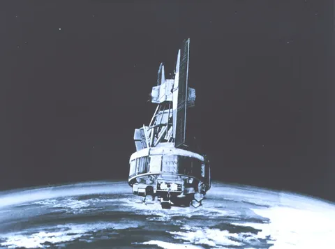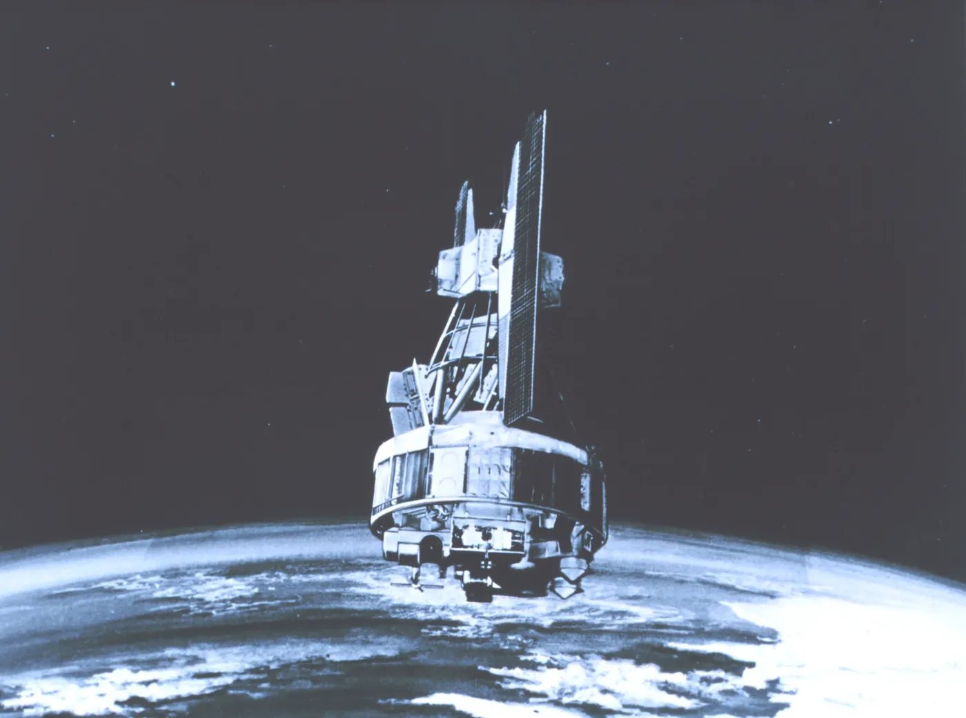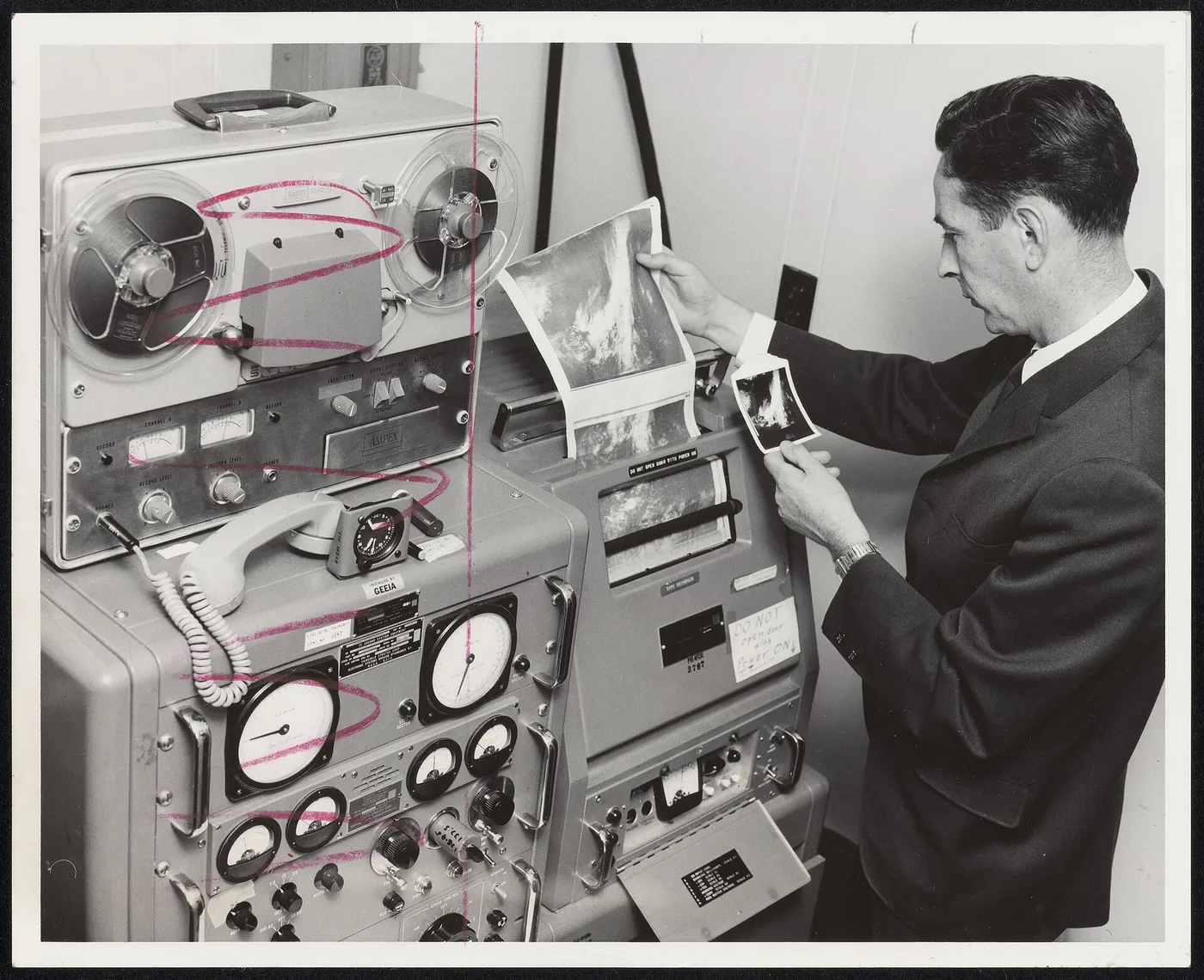

Nimbus-2 carried the first instrument to measure the Earth's radiation budget properly — the balance between incoming solar energy and outgoing thermal radiation, measured across the whole globe rather than at scattered points.
That balance is the single most fundamental quantity in climate. If more energy arrives than departs, the planet warms; the difference is currently under one per cent, which is why measuring it demands instruments of considerable precision and stability.
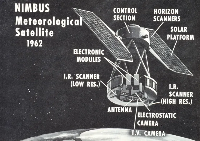
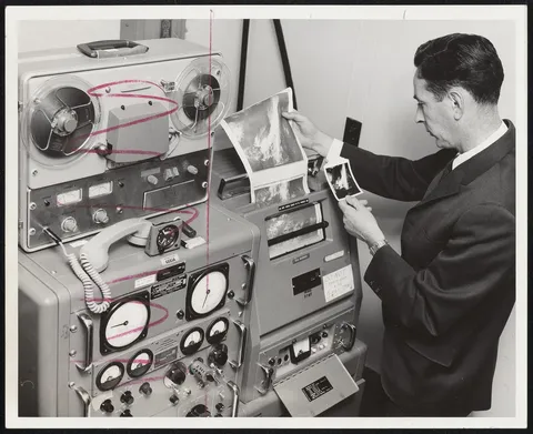
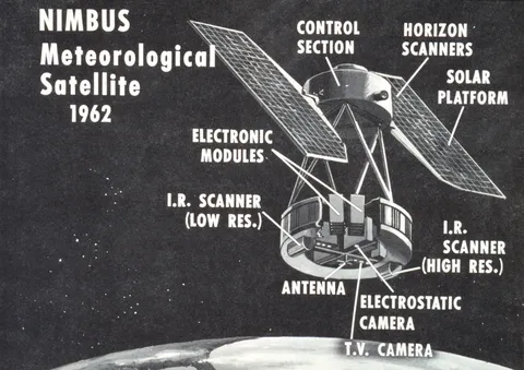
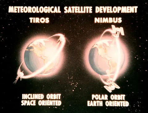
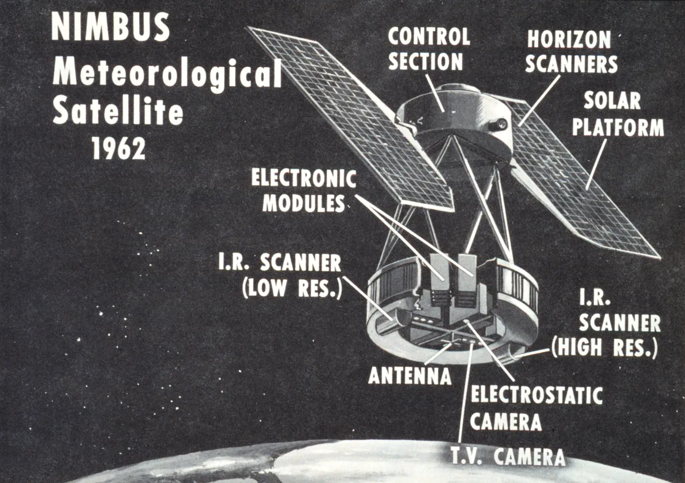
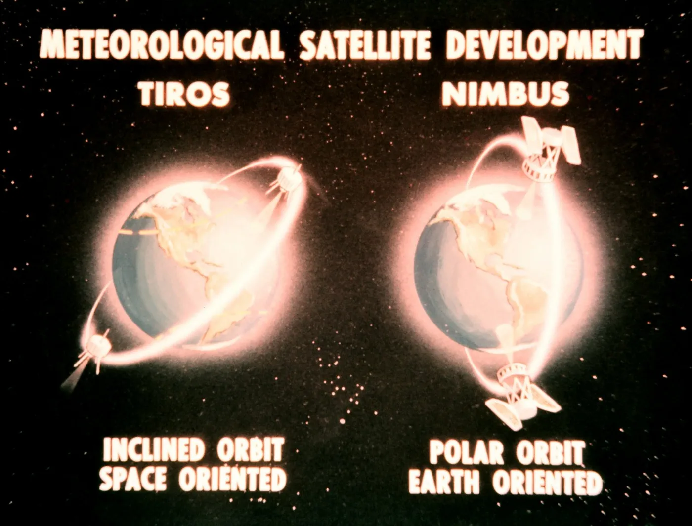
It also carried high-resolution infrared radiometers producing night-time cloud imagery, and an advanced vidicon camera system that returned daytime pictures at better resolution than the TIROS series achieved.
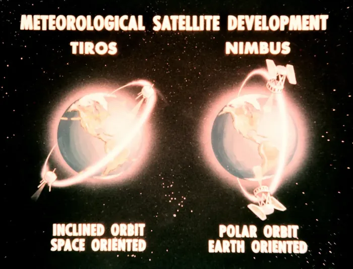
The satellite operated for about two and a half years, considerably longer than its short-lived predecessor, and its data was distributed internationally and used to construct the first global maps of outgoing longwave radiation.
The measurement it began has been continued by successive instruments for six decades, and the resulting record — showing the planet's energy imbalance growing — is among the most direct observational evidence in climate science.