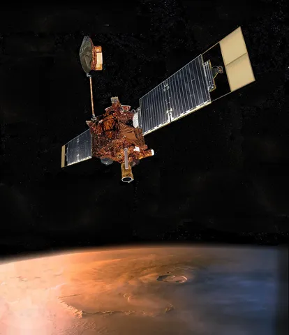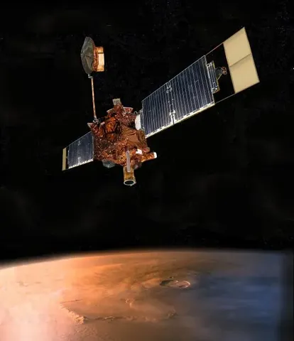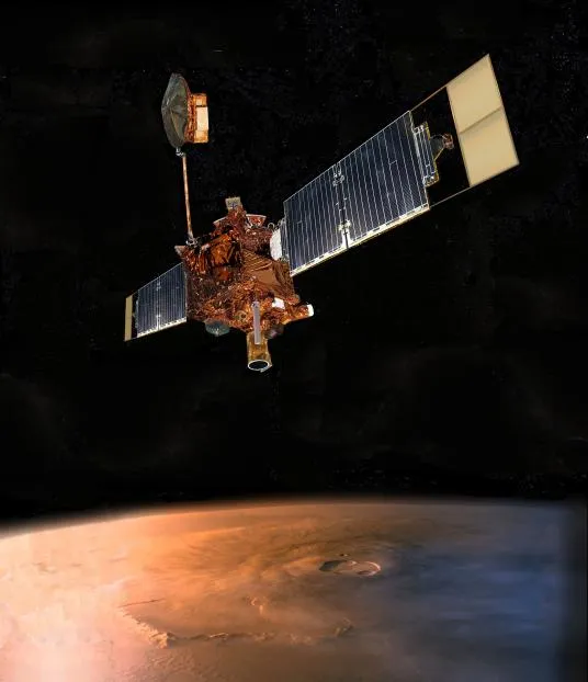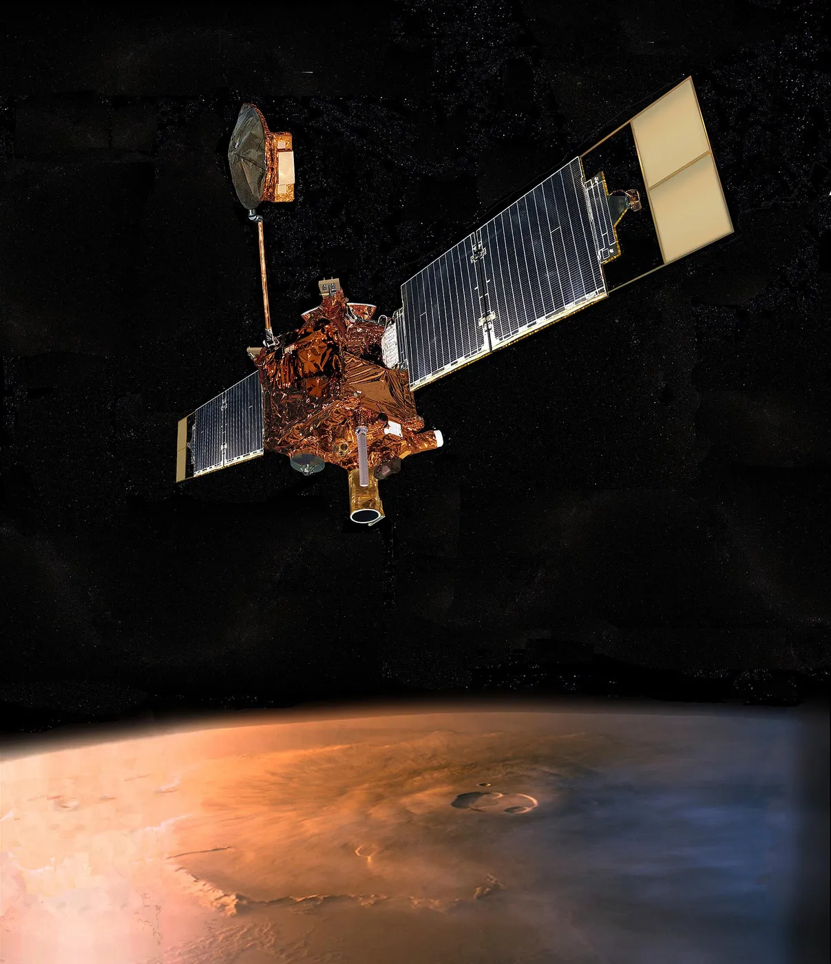

Mars Global Surveyor was assembled quickly from the ashes of Mars Observer, carrying rebuilt versions of instruments lost when that spacecraft fell silent in 1993. It reached Mars in September 1997 and then spent a year and a half doing something no mission had attempted at such length: aerobraking, dipping into the upper atmosphere on each pass to shed energy without spending fuel.
The technique nearly destroyed it. One of the solar panels had failed to latch properly after launch and flexed alarmingly under aerodynamic load, so the plan was rewritten on the fly to brake far more gently over many more orbits — turning a four-month manoeuvre into an eighteen-month one and delaying the science accordingly.
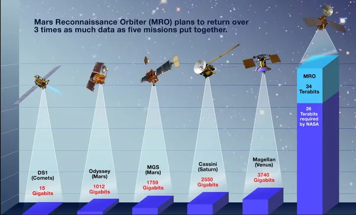
What followed was the most productive Mars mission of its generation. Its laser altimeter measured the planet's topography with such precision that the resulting global map remains a reference standard, revealing the vast northern lowlands and the stark hemispheric divide. Its magnetometer found stripes of magnetised crust in the southern highlands, implying that Mars once had a global magnetic field and, controversially, something resembling plate tectonics.

Its camera produced the most argued-about images. In 2000 it revealed gullies on crater walls that looked geologically fresh, and in 2006 a comparison of images taken years apart showed new bright deposits in two gullies — apparently something had flowed downhill in the interval. Whether that something was liquid water or dry granular flow is still debated, but it put recent water back on the agenda.
The spacecraft died of a software update. In November 2006 a parameter was written to the wrong memory address, and a subsequent command drove a solar array against a hard stop; the spacecraft's fault protection reoriented it in a way that pointed a radiator at the Sun, overheated the battery and drained it within hours. Nine years of operation ended in a few hours of cascading error.