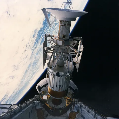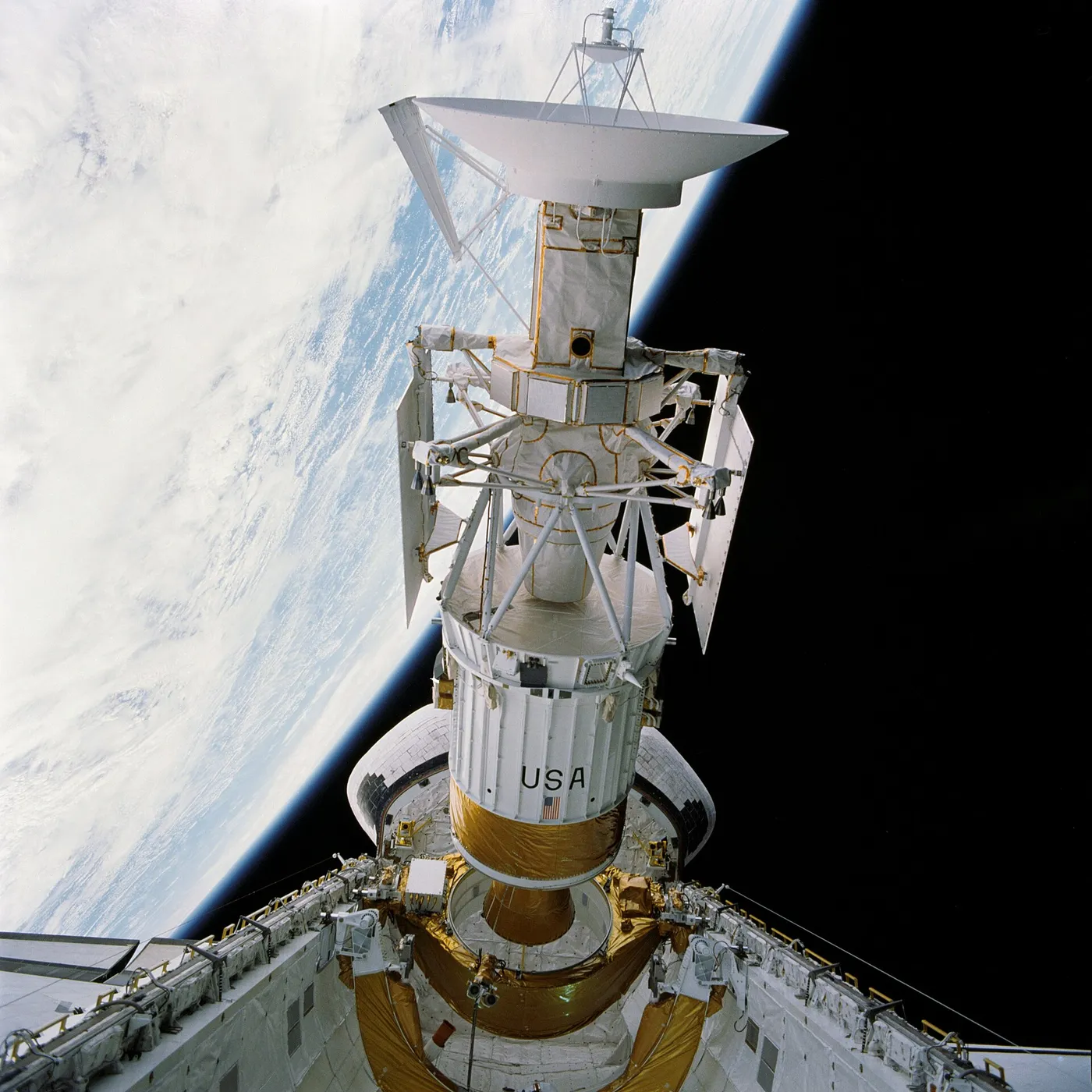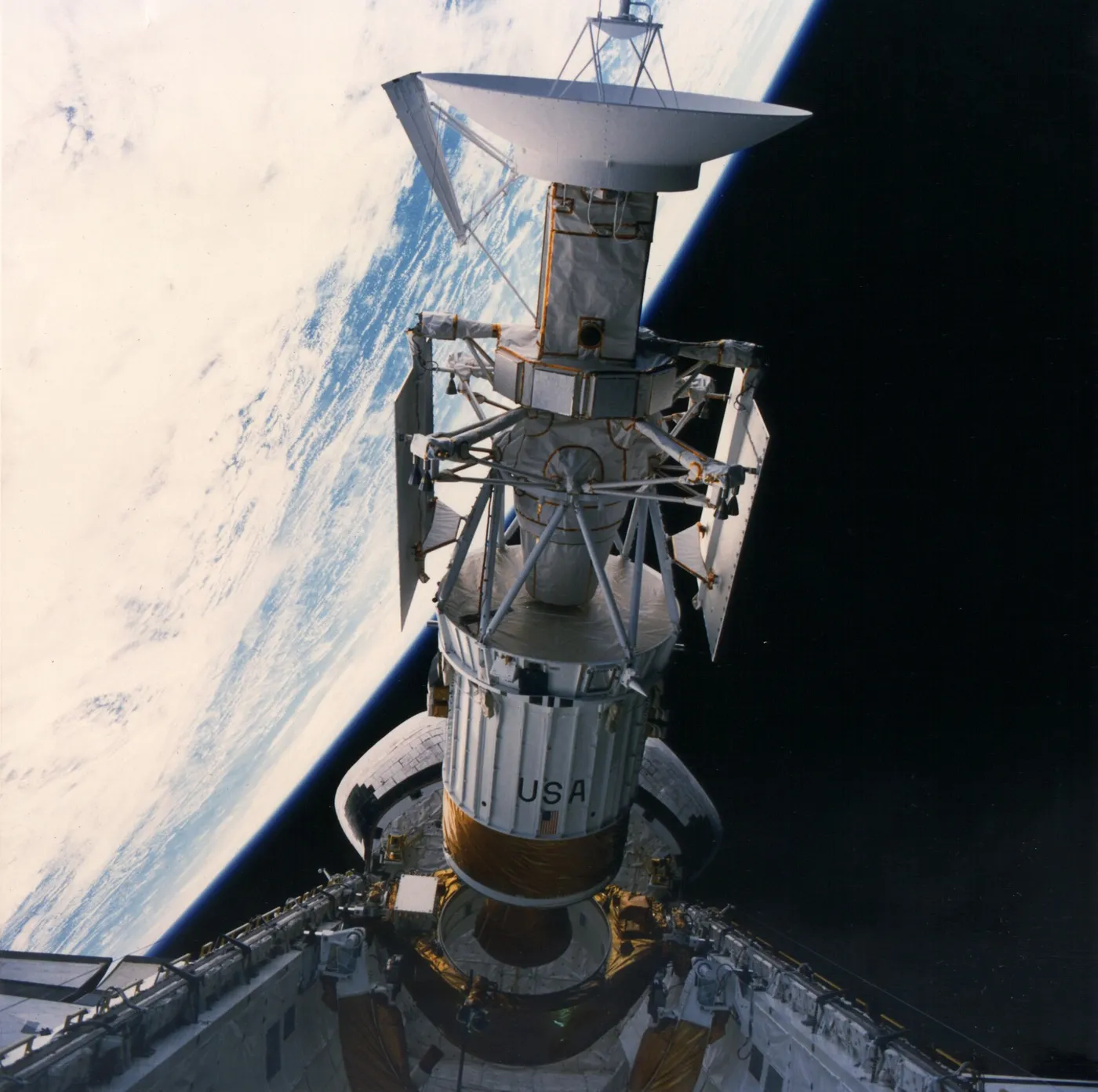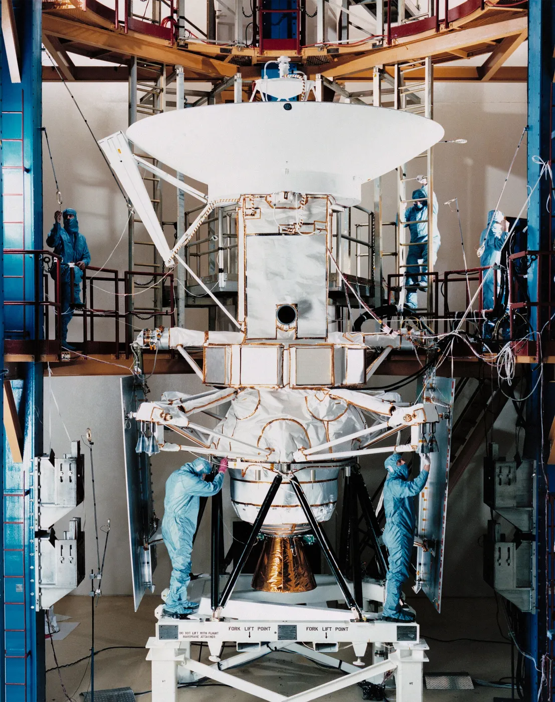

Venus keeps its surface hidden under some twenty kilometres of cloud, so Magellan carried no camera. Instead it mapped the planet with imaging radar, sweeping a narrow strip on each orbit and building a global picture over hundreds of passes — eventually covering 98 per cent of the surface at a resolution of around 100 metres.
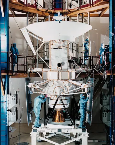
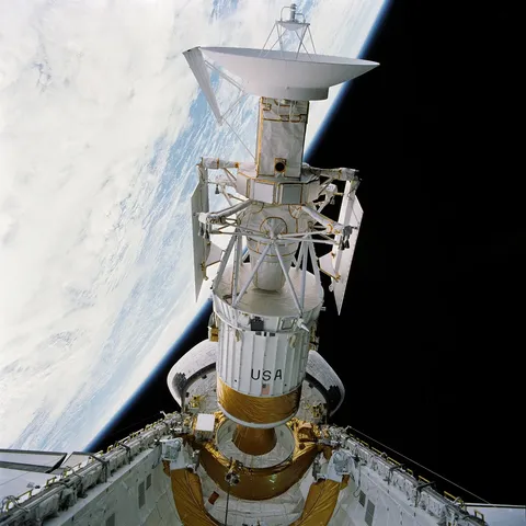
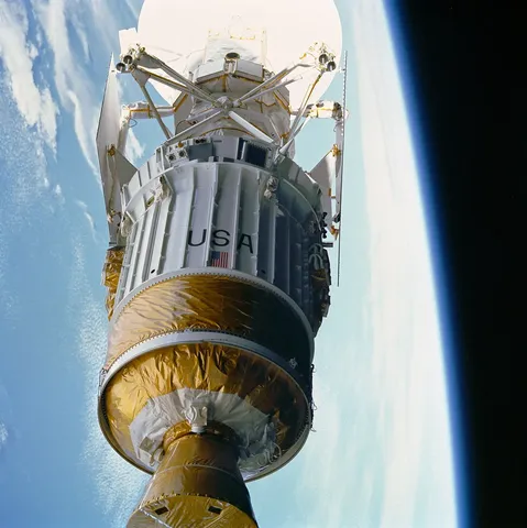
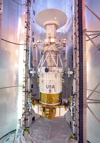
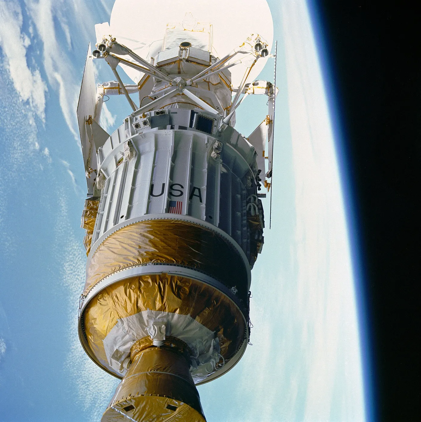
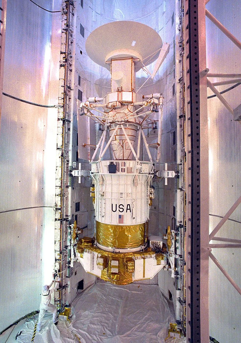
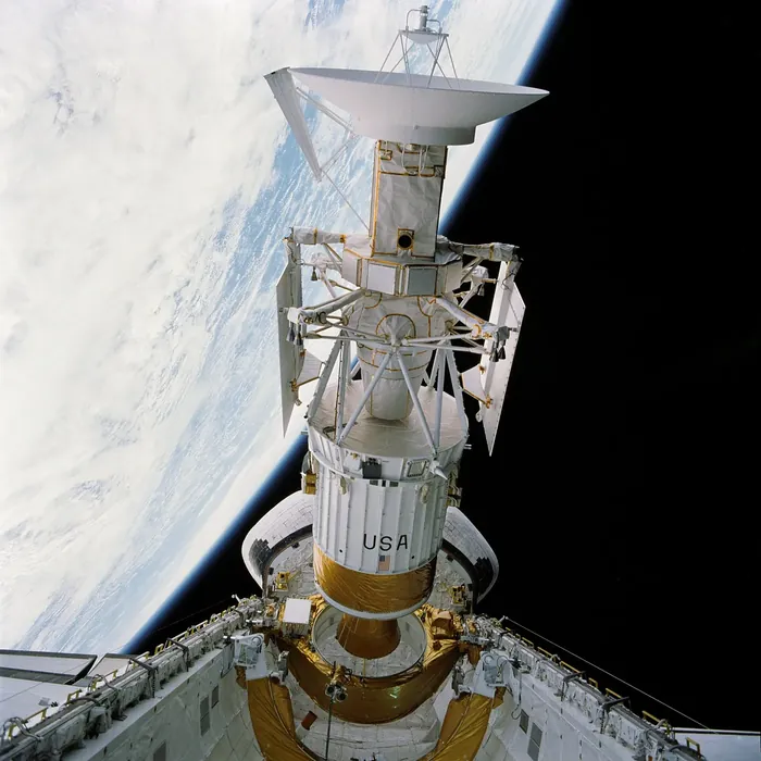
The spacecraft was assembled from leftovers, a consequence of the budget climate of the 1980s: a spare high-gain antenna from Voyager, structural components from Galileo, a Ulysses-heritage bus, and command hardware scavenged from several other programmes. It cost a fraction of a purpose-built mission.
The Venus it revealed was strange. There were volcanic plains everywhere, peculiar circular features called coronae, pancake domes of viscous lava, and highland terrain crumpled into complex ridges — but almost no small craters, and the large ones were distributed randomly with little sign of erosion or burial.
That last observation carried a startling implication. A surface with a random crater distribution and no old regions is a surface that was resurfaced all at once, and the estimated age of around 500 million years suggested Venus underwent some kind of planet-wide volcanic catastrophe. Whether it was a single global event or something more gradual is still argued about.
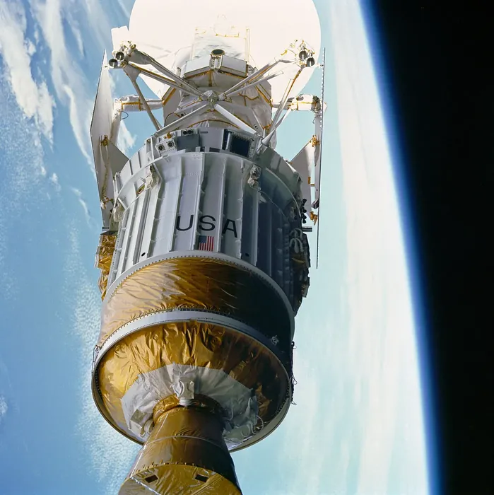
In its final months the mission deliberately dipped into the upper atmosphere to slow itself, demonstrating aerobraking as a technique for changing orbits without fuel — now standard practice at Mars. In October 1994 it was commanded into the atmosphere to gather data on the way down, transmitting until it burned up.