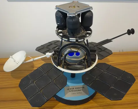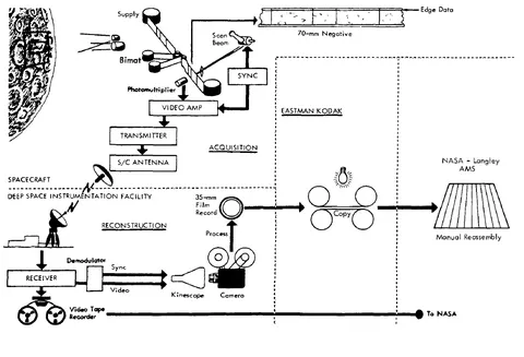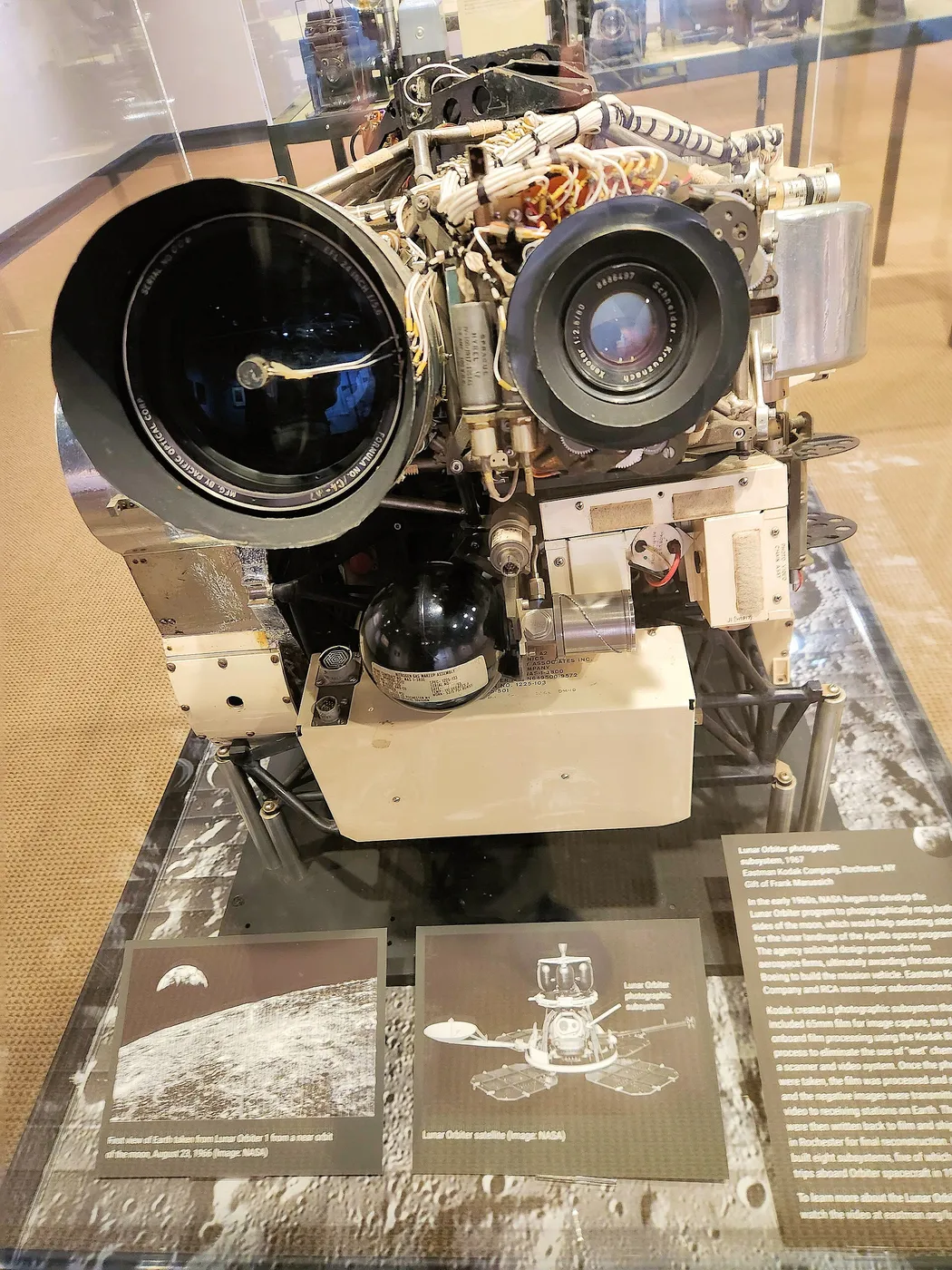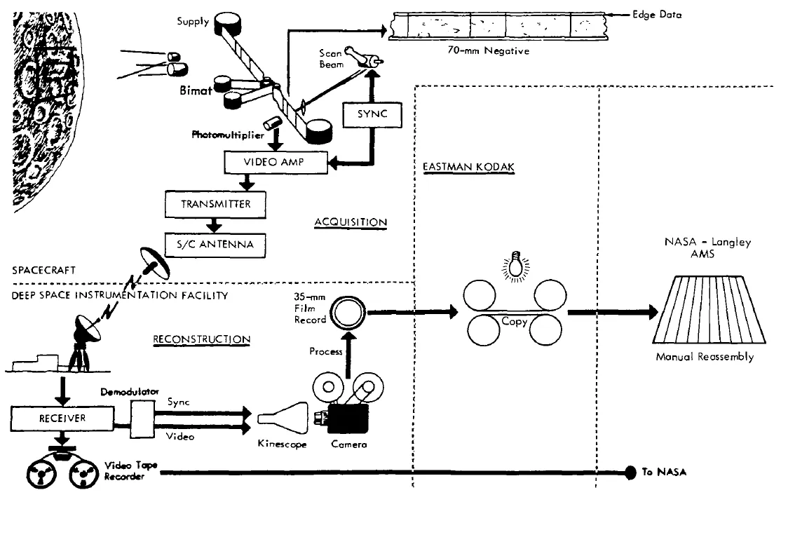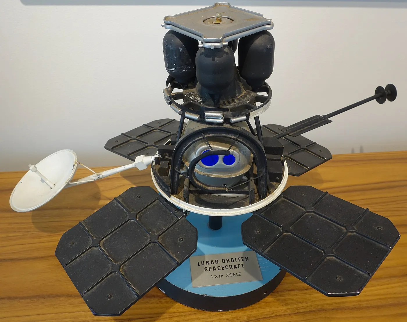

With the Apollo site survey complete, the fourth orbiter was given a different assignment: map the whole thing. It flew a high polar orbit rather than a low equatorial one, trading resolution for coverage, and systematically photographed the entire near side of the Moon.
The resulting atlas covered around 99 per cent of the near side at resolutions between 60 and 150 metres — an improvement of roughly an order of magnitude over the best telescopic imagery from Earth, and the standard reference for lunar geology for the next four decades.
It made possible a systematic naming and mapping of lunar features that had previously been observed only under whatever illumination the Earth-Moon geometry happened to allow. Selenographers could finally see the polar regions properly, and the imagery underpinned the geological maps used to plan every Apollo traverse.
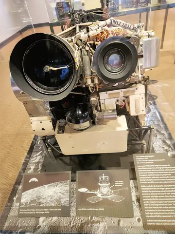
The spacecraft had its troubles. A camera thermal door stuck partly open, risking fogging of the film, and controllers had to work around it by adjusting the spacecraft's orientation and shooting sequences at particular times — one of many improvisations the series required.
Its data was still being used long after the film had decayed. The original tapes were nearly lost to institutional neglect before a volunteer effort recovered them in the 2000s using restored 1960s drives, producing digital images sharper than anything anyone had seen at the time the pictures were taken.