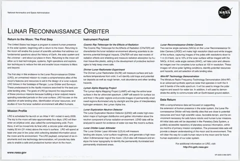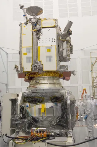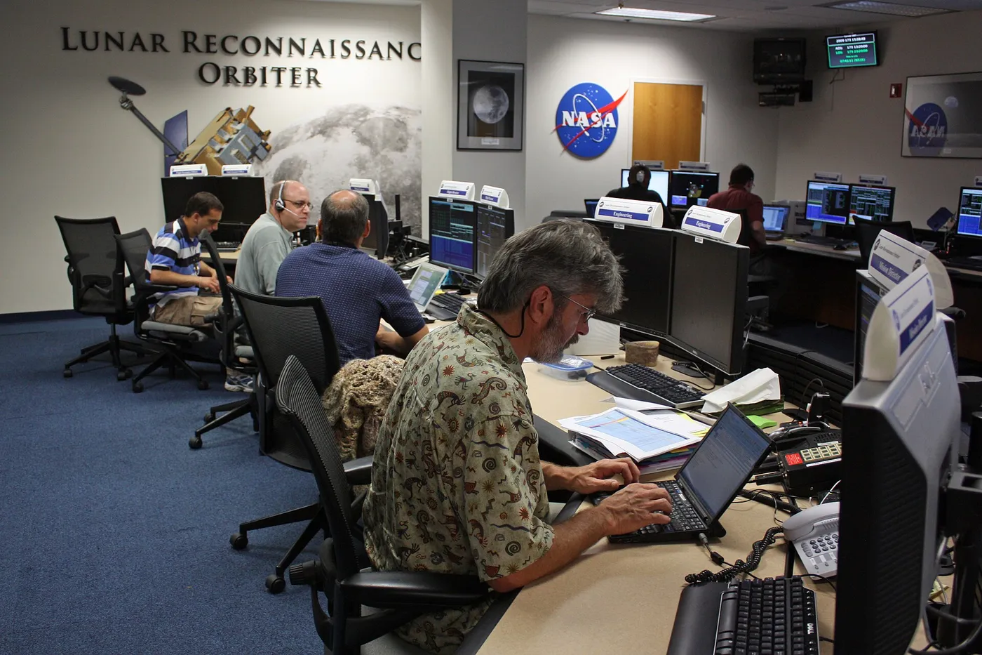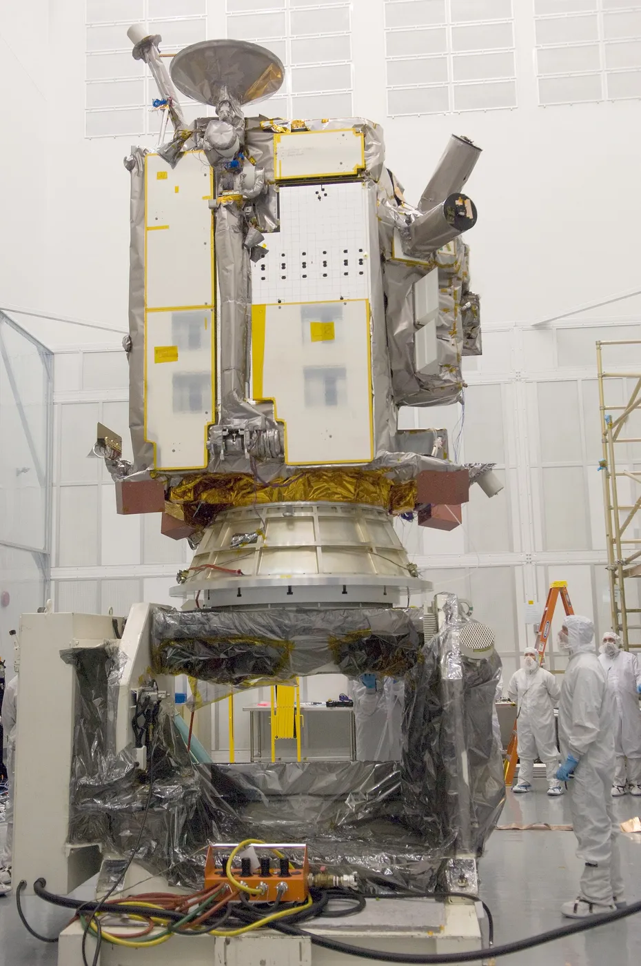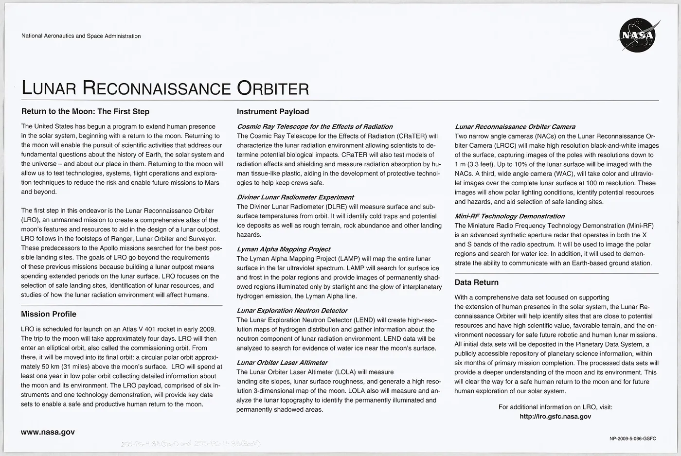

The Lunar Reconnaissance Orbiter has been mapping the Moon since 2009 and has returned more data than any other planetary mission. Its cameras resolve objects around half a metre across, which is sharp enough to photograph the Apollo landing sites in detail — the descent stages, the experiment packages, and the astronauts' footpaths still visible as darker tracks in the dust.
Those images did more than settle arguments with conspiracy theorists. They allowed the exact positions of the landing sites to be fixed to within a metre, tying decades of surface science to a precise global coordinate system for the first time.
Its thermal instrument found the coldest temperatures ever measured anywhere in the solar system — around 25 degrees above absolute zero in the permanently shadowed floors of polar craters, colder than Pluto's surface. Places that cold can trap not only water ice but carbon monoxide, hydrogen and other volatiles for billions of years.
The laser altimeter produced a topographic map of the entire Moon accurate to about a metre in height, which is the foundation on which every landing site for the current wave of lunar missions is being chosen. It has also caught fresh impact craters by comparing images taken years apart, measuring how fast the surface is being churned.
It was designed for a year and has operated for more than fifteen, outliving several missions it was meant to support and becoming the standard reference for lunar geography. Its long baseline of repeat imaging now doubles as a record of how the Moon changes — which, it turns out, is more than anyone expected.