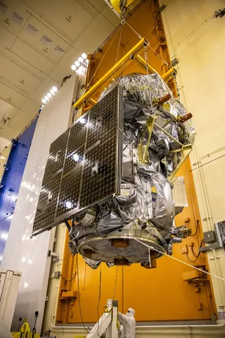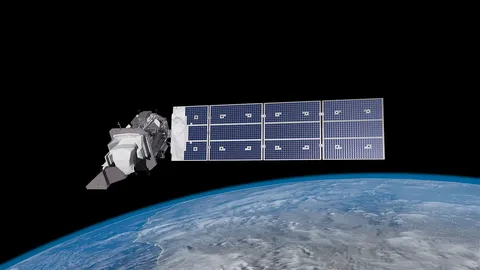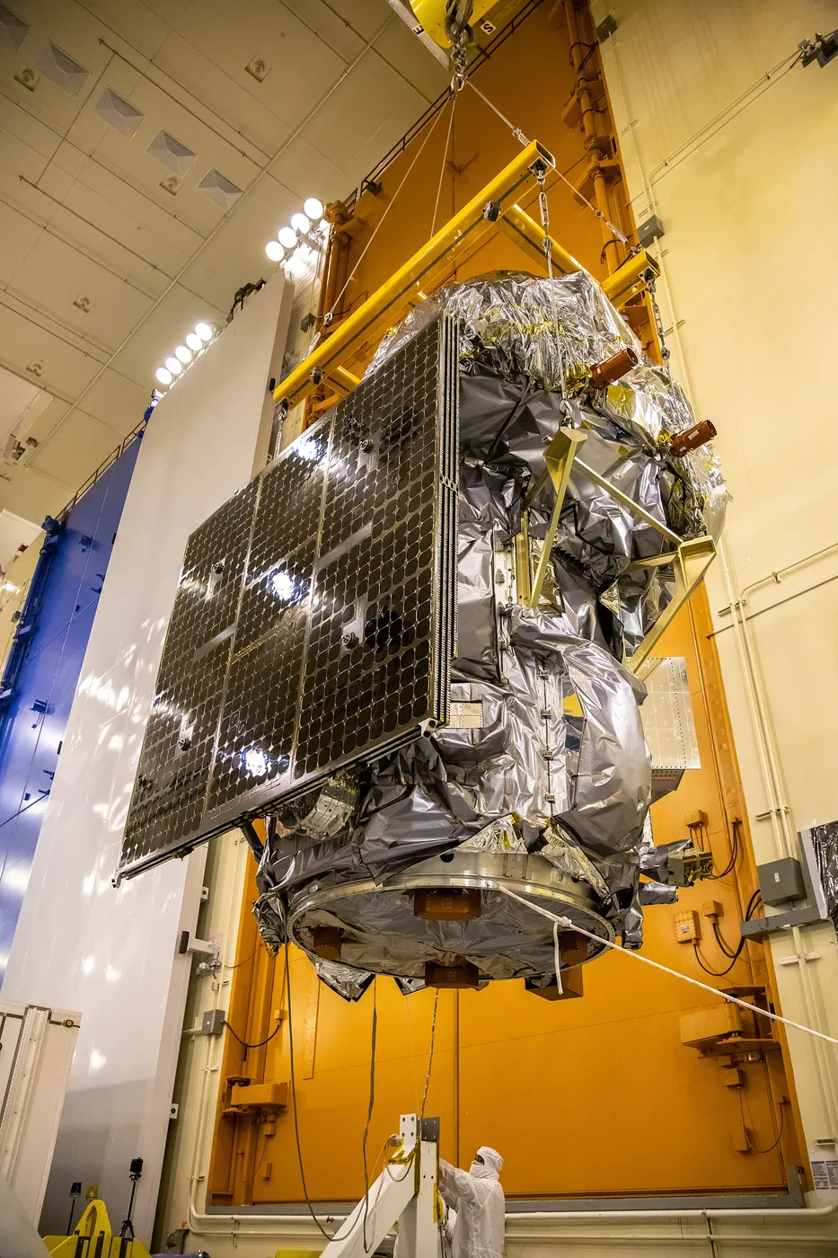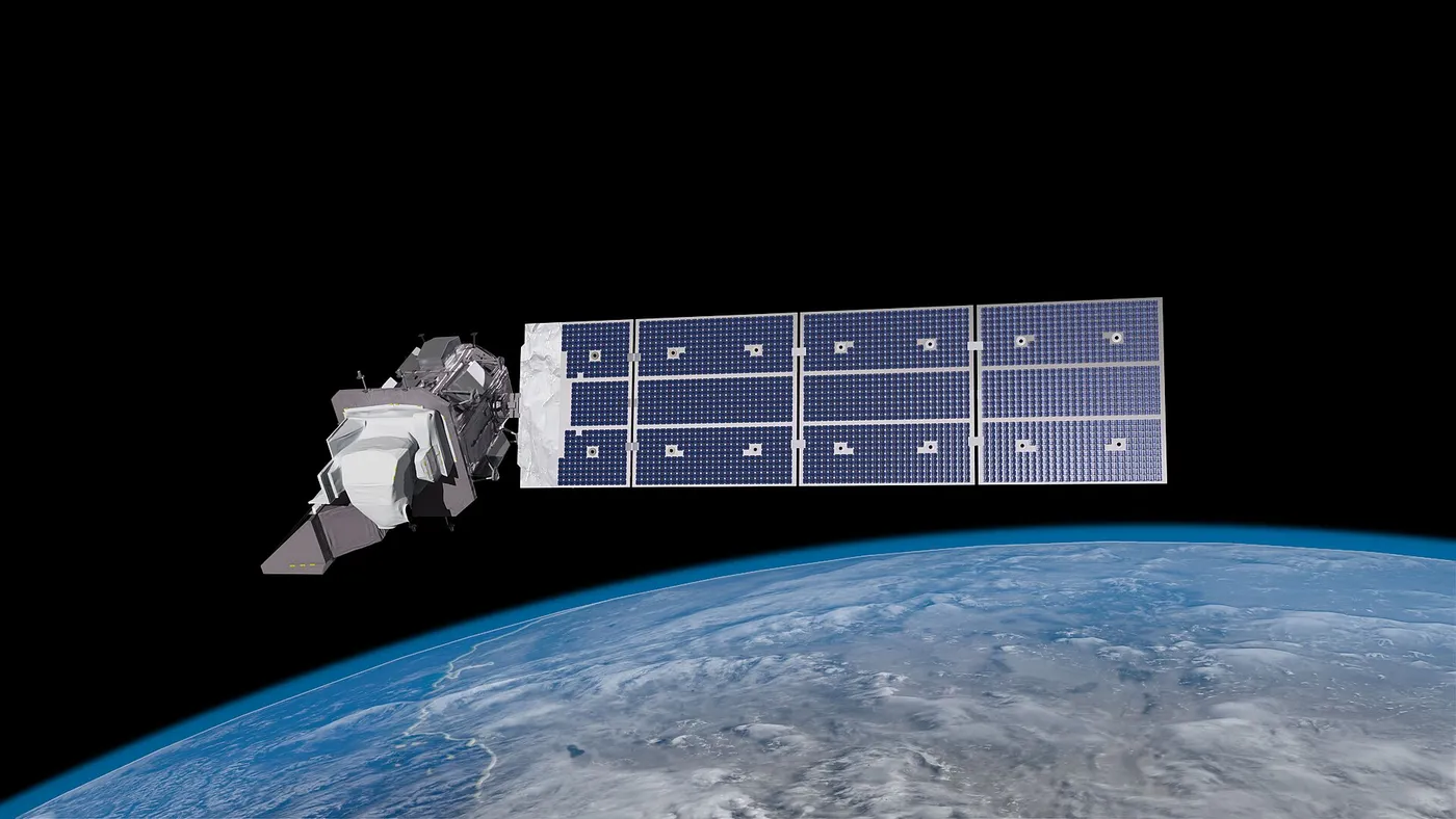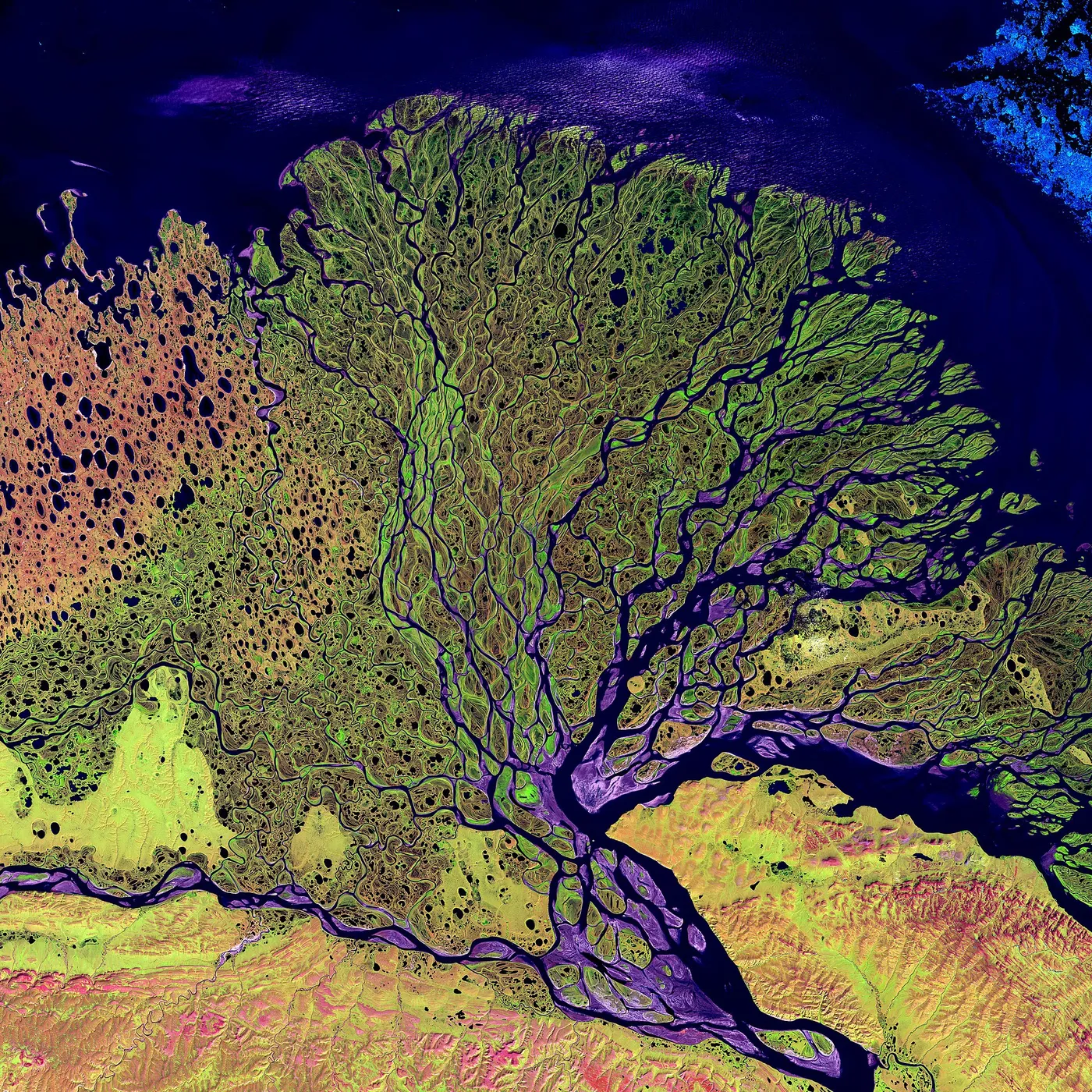

Landsat 9 is a near-copy of Landsat 8, built deliberately without innovation. After decades in which each new Landsat introduced novel instruments and suffered the corresponding development risk, the programme chose to rebuild a proven design — faster, cheaper and with a far higher probability of working.
Its purpose is revisit frequency. Flying eight days out of phase with Landsat 8, the pair image every location on Earth every eight days rather than every sixteen, which roughly doubles the chance of a cloud-free observation and makes the data far more useful for monitoring rapidly changing things like crops, floods and fires.
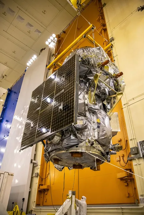
Its instruments do improve on their predecessors in one respect: the imagers digitise to fourteen bits rather than twelve, distinguishing more subtle differences in brightness, which matters particularly over dark surfaces like water and forest canopy.
The satellite continues the longest continuous record of the Earth's land surface in existence — now more than fifty years, and still freely available. That combination of longevity and open access has made it the foundation of global land-cover monitoring.
Its successor programme is in development with an explicit requirement to avoid any gap, reflecting a lesson learned repeatedly across Earth observation: the value of these records is in their continuity, and an interruption cannot be repaired retrospectively at any price.