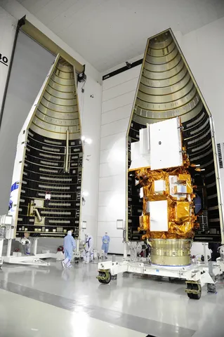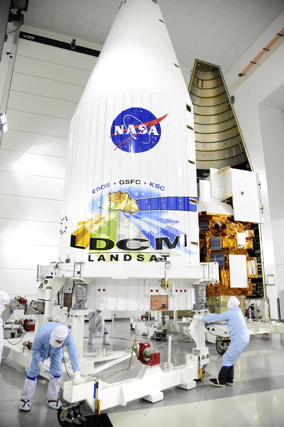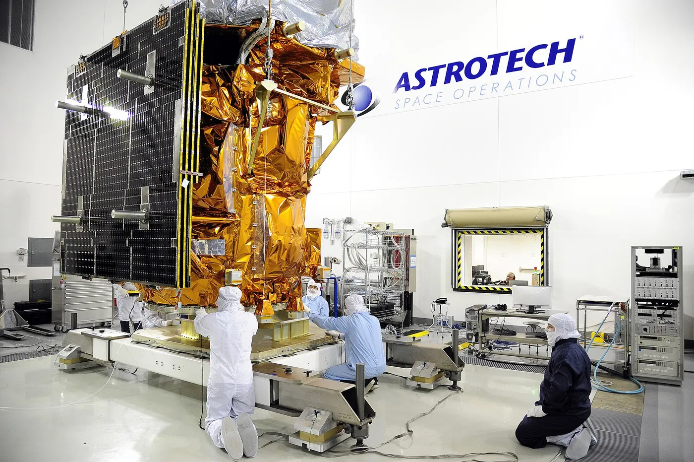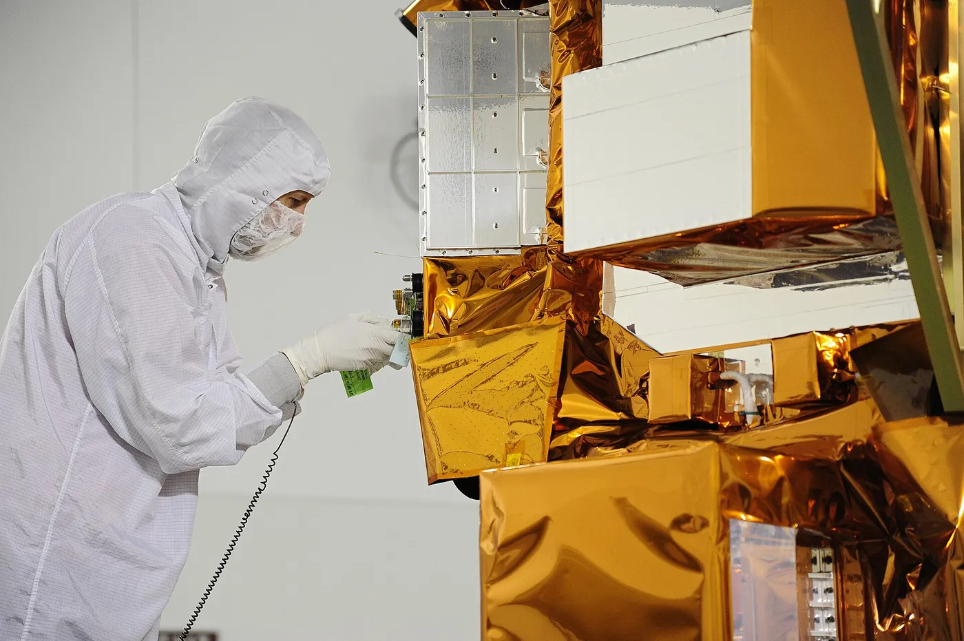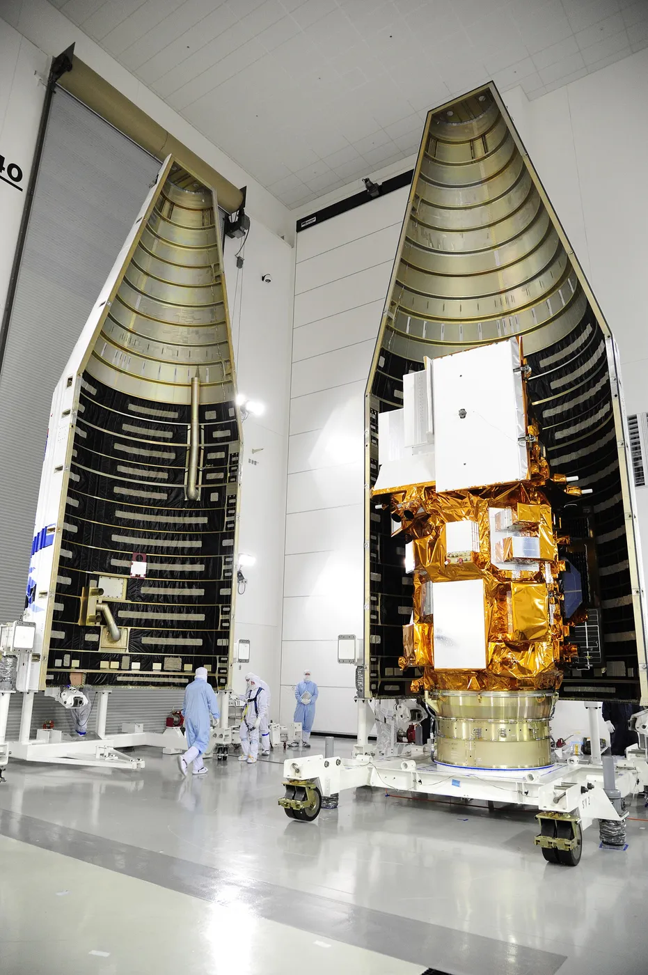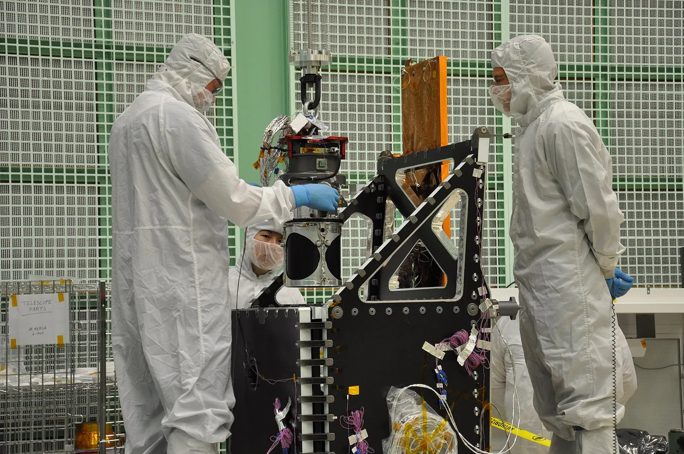

Landsat 8 replaced a whisk-broom design with a push-broom one. Earlier Landsats used a mirror sweeping side to side, with all the mechanical wear that implies; this one uses a long linear array of detectors that images an entire cross-track line at once as the spacecraft moves forward.
The change improved sensitivity substantially — each detector dwells on its ground target far longer — and removed the moving parts whose failure had crippled its predecessor. It also added new spectral bands for coastal water and cirrus cloud detection.
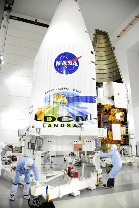
Its arrival in 2013 secured a record that had been in genuine jeopardy. Landsat 5 had been retired after twenty-nine years and Landsat 7 was flying with a broken scan corrector, and for several years the continuation of a forty-year archive depended on ageing hardware and political will.
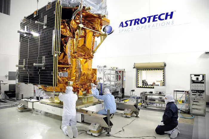
The free and open data policy adopted in 2008 has made this satellite one of the most-used Earth observation assets in existence, underpinning global forest monitoring, agricultural yield forecasting, water management and land-use mapping — much of it by users in countries with no space programme of their own.
It continues to operate alongside Landsat 9, the two together revisiting each location every eight days. The programme's uninterrupted record now spans more than half a century, which is long enough that it documents change most of its original designers would not have expected to see.