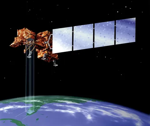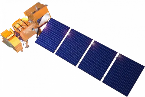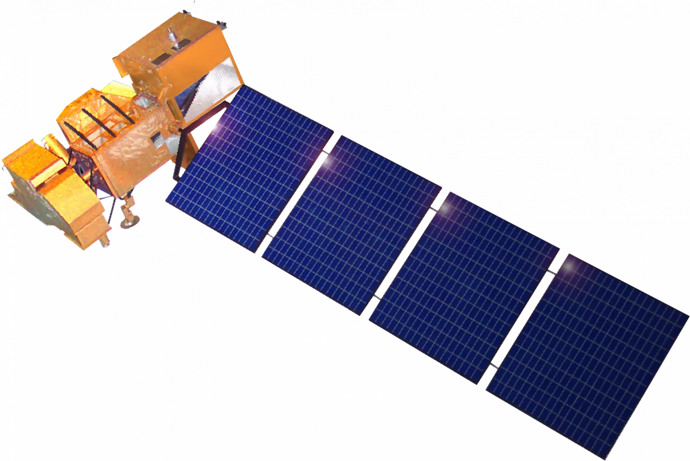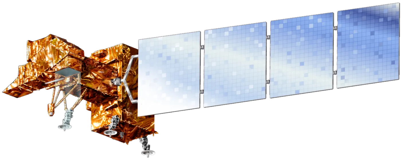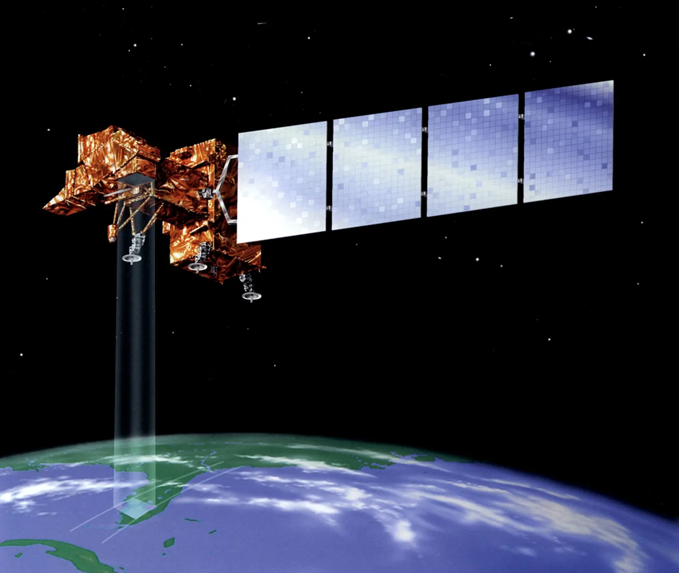

Landsat 7 continued the longest continuous record of the Earth's land surface, begun in 1972 and now spanning more than fifty years — an archive that allows any place on the planet to be compared with itself across half a century of deforestation, urban growth, glacial retreat and agricultural change.
In 2003 its scan line corrector failed. The mirror that compensates for the spacecraft's forward motion stopped working, leaving wedge-shaped gaps that lose about 22 per cent of each image — a permanent, unfixable defect in an otherwise healthy satellite.
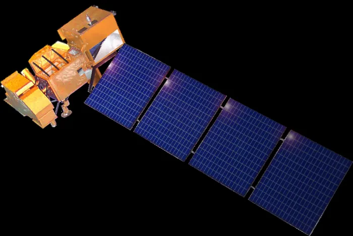
The data kept being used anyway. Gap-filling techniques were developed, and for many applications the striped imagery remained more valuable than no imagery, particularly since the alternative was breaking a record that had already run for three decades.
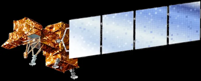
Its most consequential moment had nothing to do with hardware. In 2008 the entire Landsat archive was made free and open, ending a period in which images cost hundreds of dollars each. Usage increased by orders of magnitude within a year, and analyses that had been economically impossible — global forest cover change, worldwide surface water mapping — were published shortly afterwards.
That policy is now widely cited as one of the clearest demonstrations that opening public data multiplies its value. The satellite operated for twenty-four years against a five-year design life, and was retired in 2024 after its fuel was used to lower it out of the operational orbit.