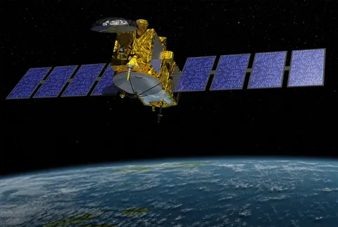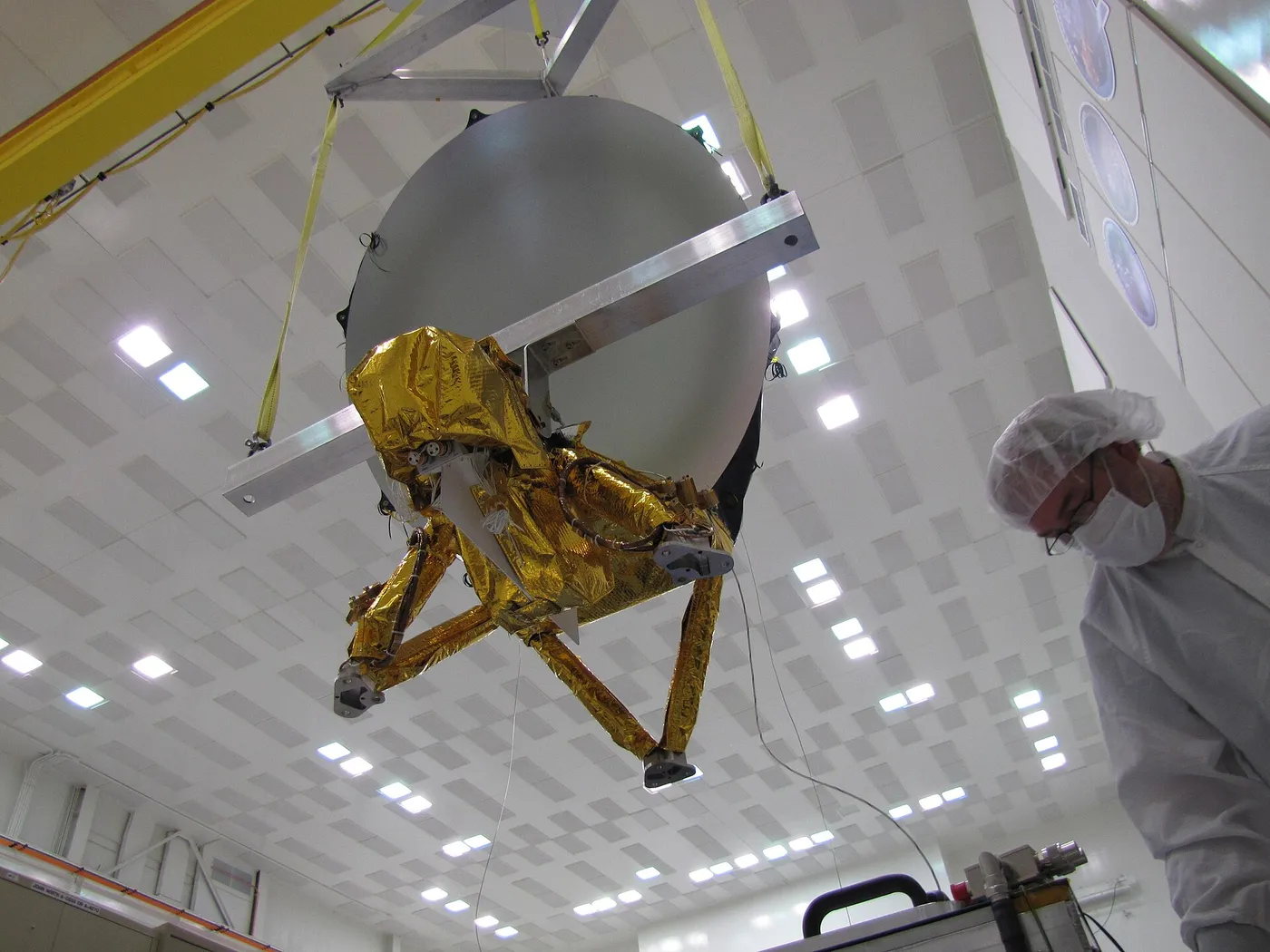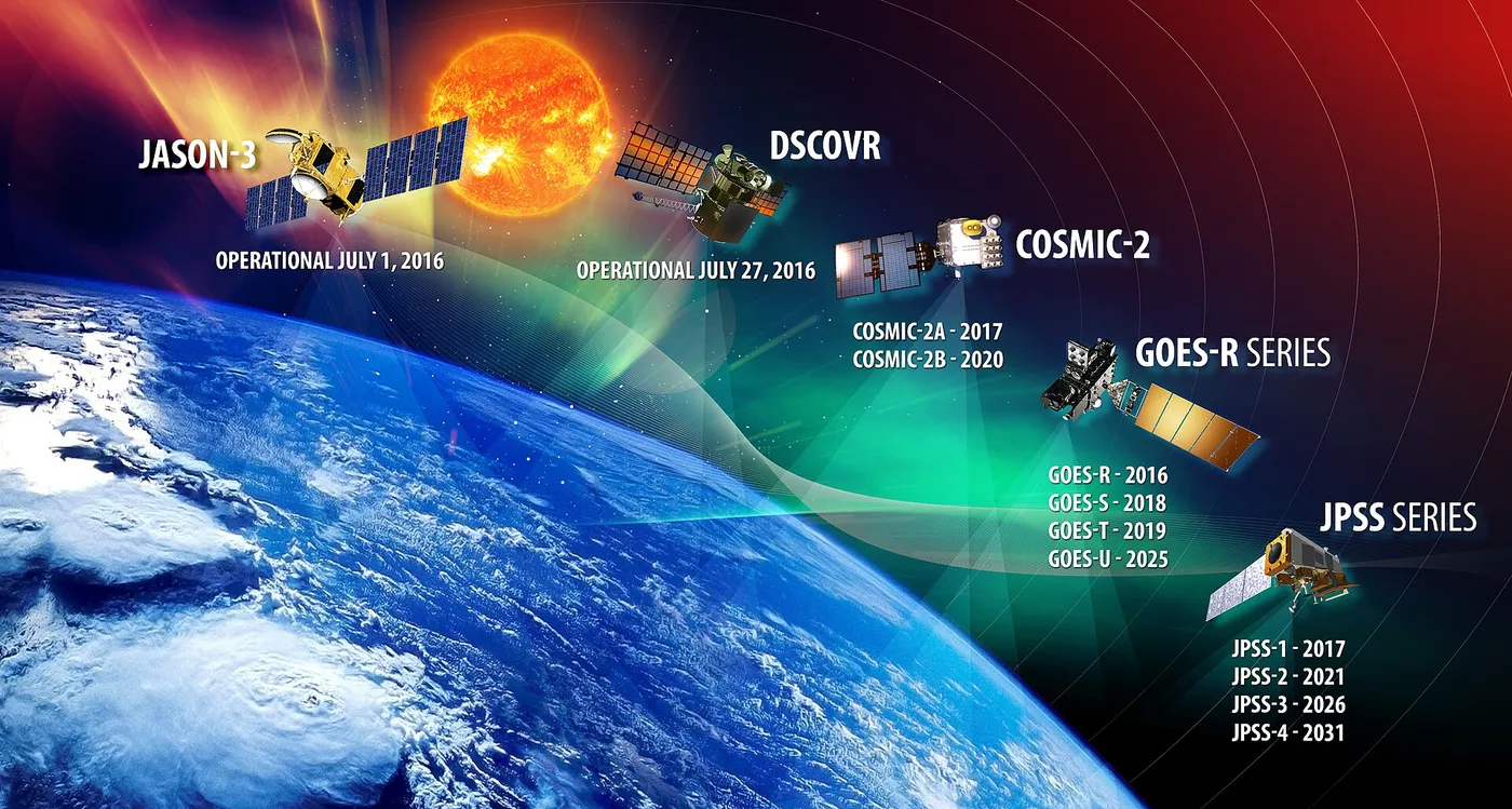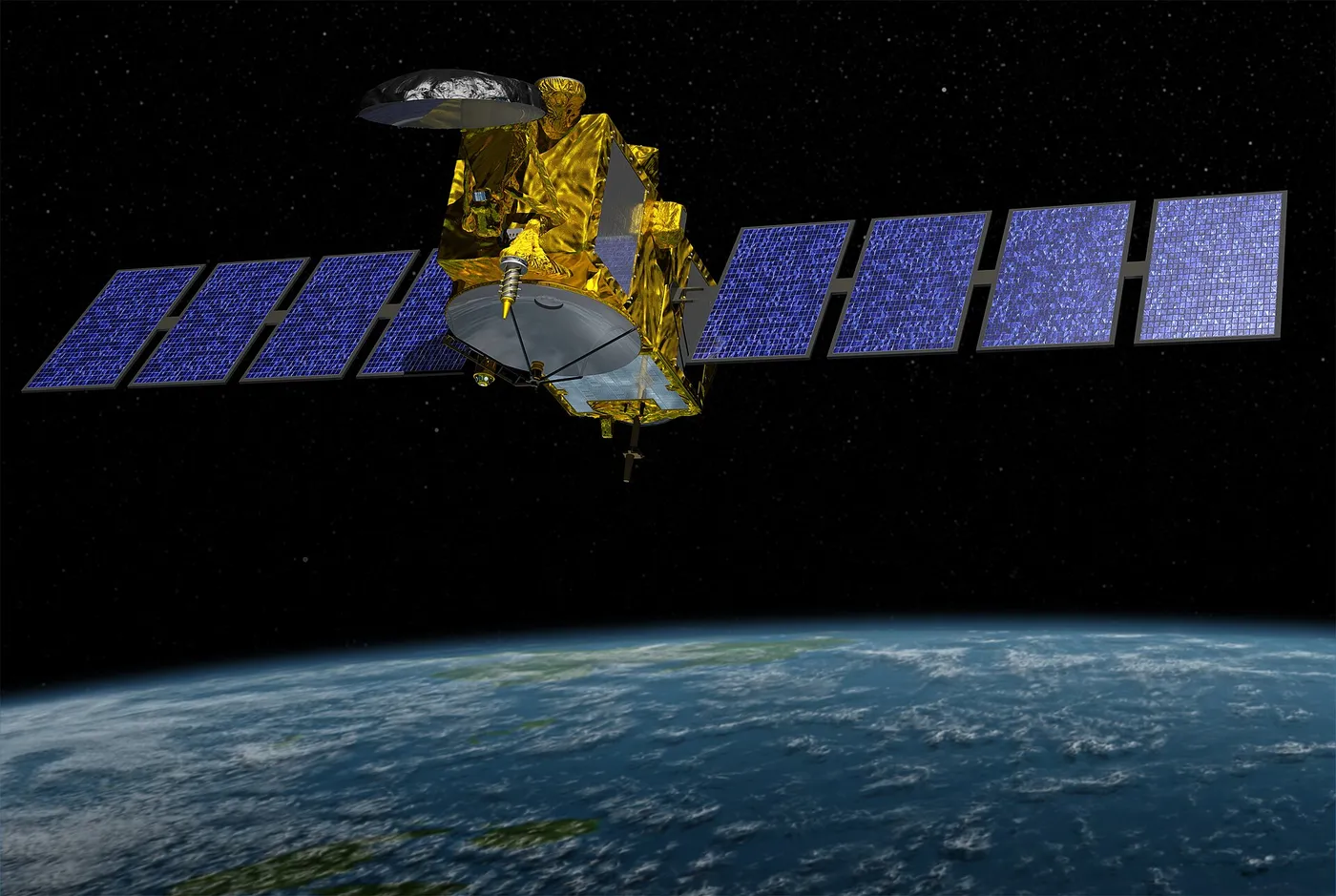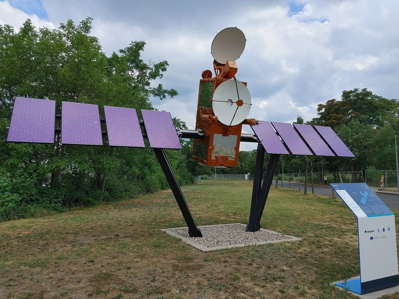

Jason-3 continued the sea-level record into its fourth satellite generation, maintaining an unbroken measurement that by then had run for more than two decades and had become one of the most-cited indicators of climate change.
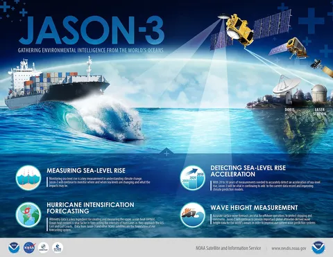
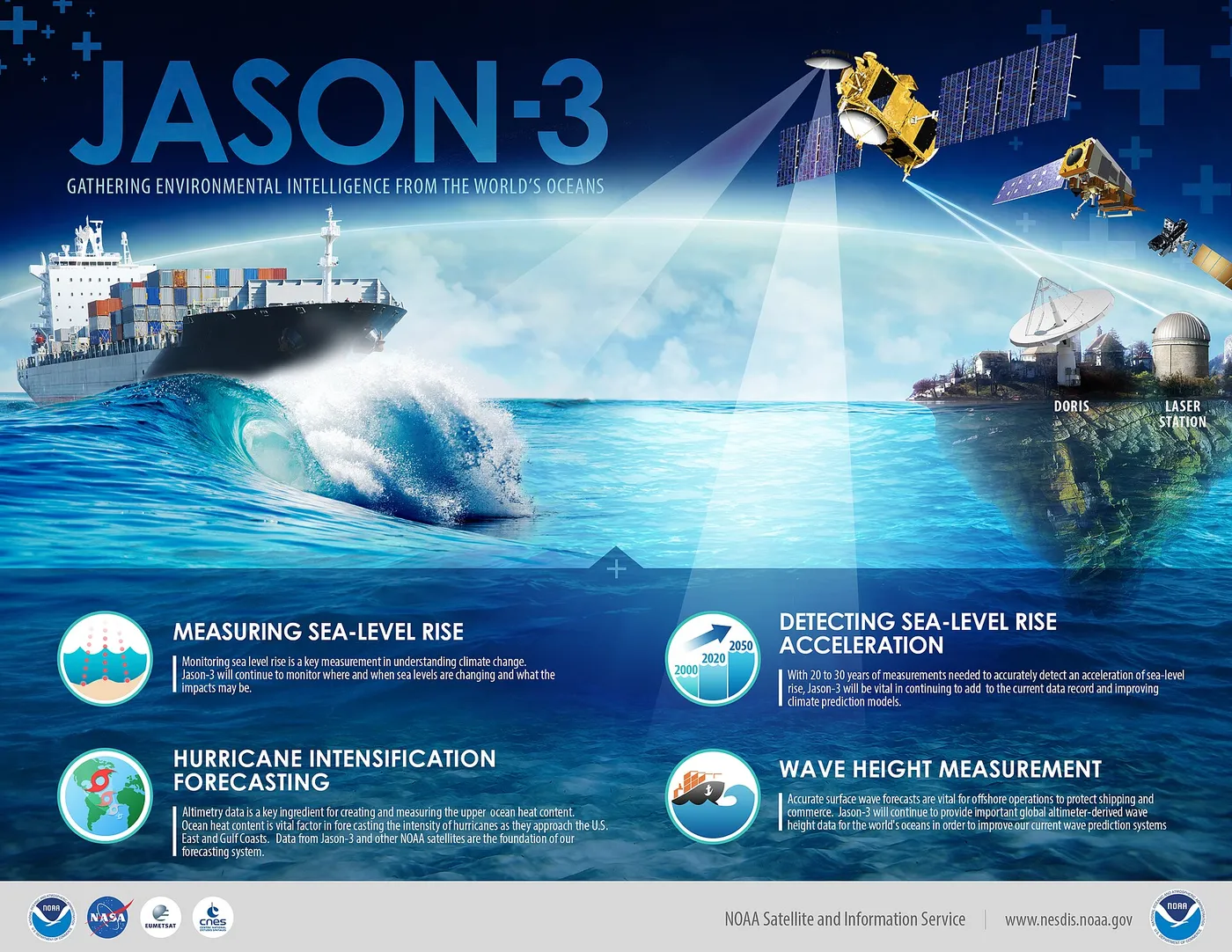
The record it extends shows global mean sea level rising at roughly three and a half millimetres a year and, importantly, accelerating — the rate in the 2010s was measurably higher than in the 1990s. Detecting an acceleration requires exactly the kind of long, carefully cross-calibrated series these satellites provide.
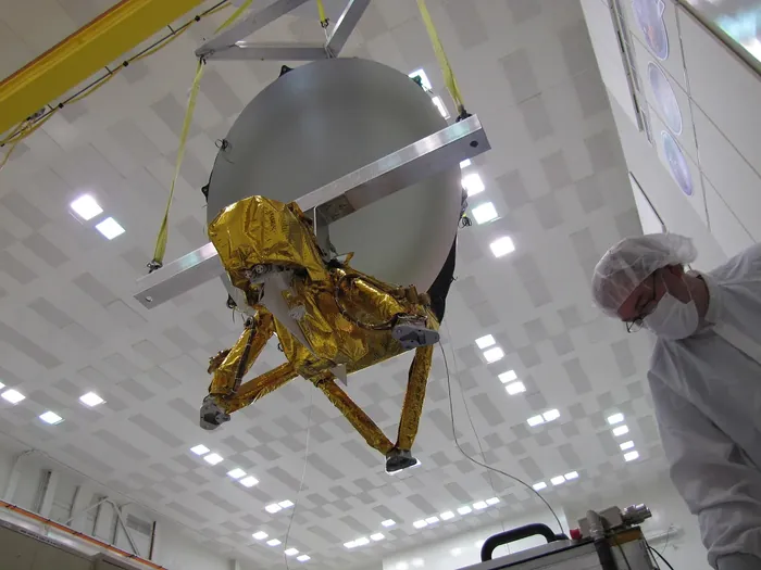
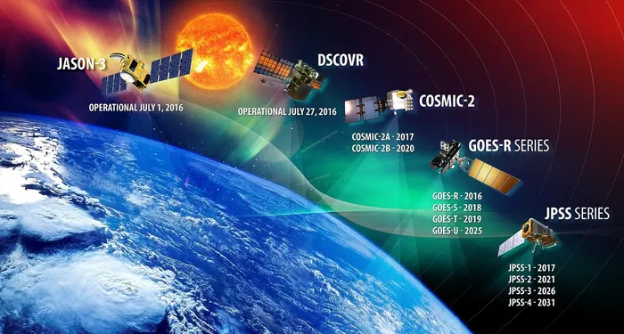
Its operational partners include the American and European weather agencies alongside the space agencies, reflecting the mission's dual role: a climate record on one hand and, on the other, a daily input to ocean forecasting, ship routing and hurricane intensity prediction.
It also continues the geodetic work of measuring the marine gravity field, and its data contributes to monitoring inland water — the levels of large lakes and rivers, which in many regions are otherwise poorly gauged.
Launched in 2016 on a Falcon 9, it flew in tandem with its successor Sentinel-6 for cross-calibration before stepping into a supporting role. The deliberate overlap of each pair of satellites is the unglamorous discipline that makes the whole record trustworthy.