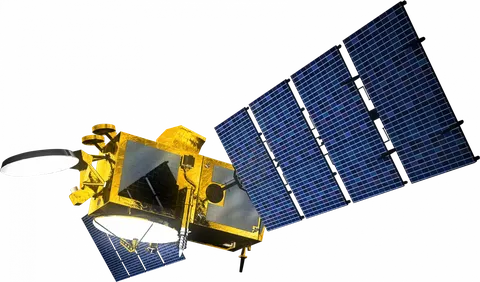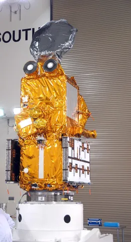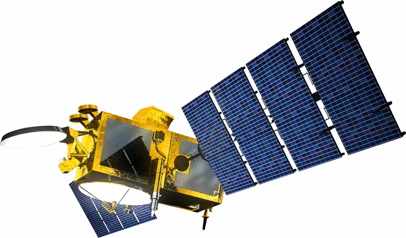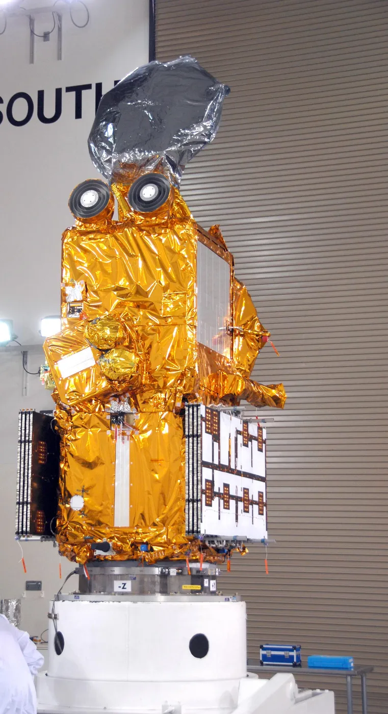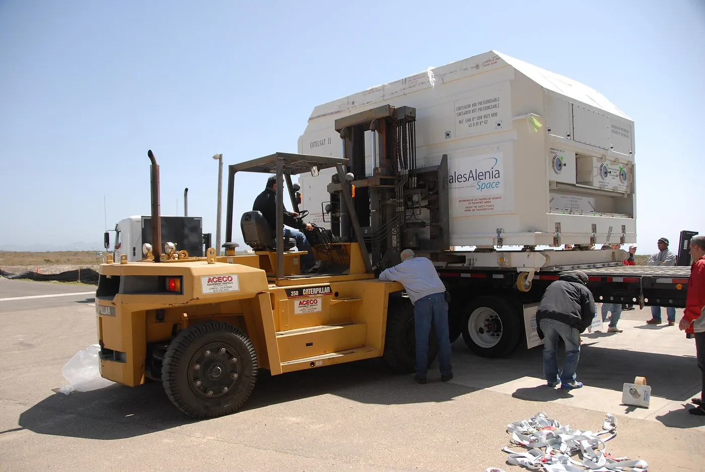

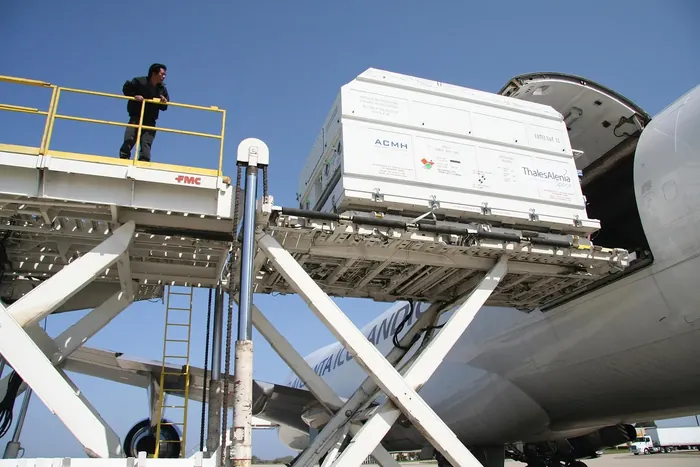
Jason-2 marked the point at which satellite altimetry stopped being an experiment and became operational infrastructure. Where its predecessors had been research missions run by space agencies, this one was a partnership including the American and European weather services, committing them to maintaining the measurement indefinitely.
That transition matters because the value of the sea-level record grows with its length, and research programmes are funded in five-year increments while operational services are not. Handing altimetry to the weather agencies was a deliberate act of institutional continuity.
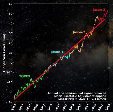
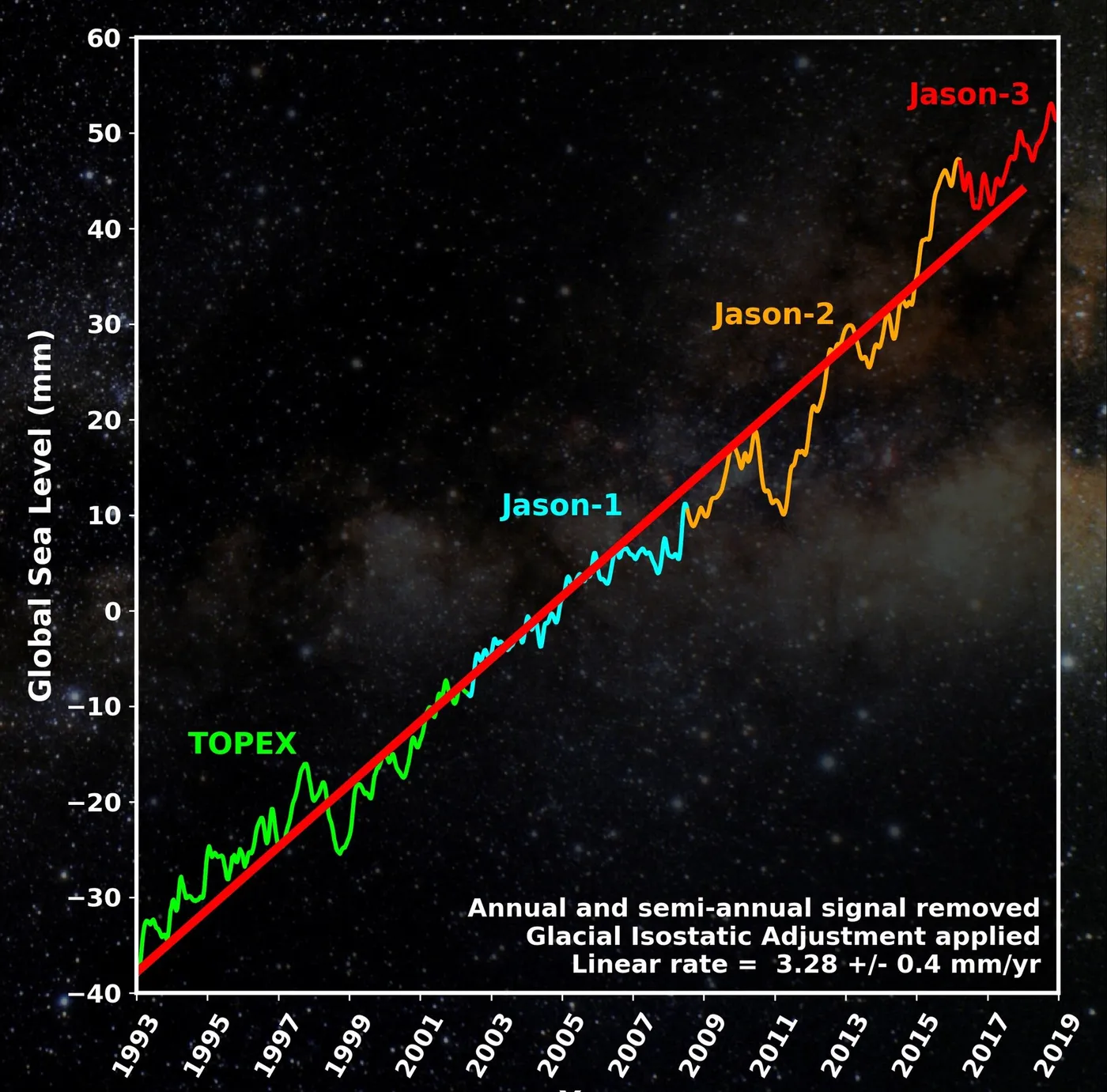
It flew in formation with Jason-1 for six months of cross-calibration before taking over the reference orbit, maintaining the unbroken millimetre-level record that began in 1992 and preserving its continuity through a third satellite generation.
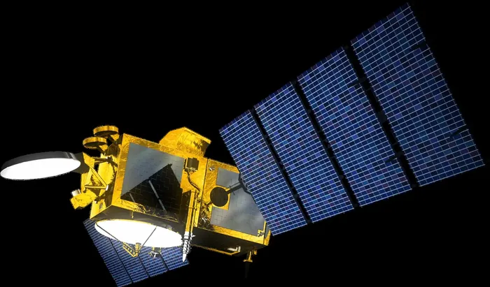
Operationally its data fed ocean forecasting models, hurricane intensity prediction — warm water depth is a strong predictor of intensification, and altimetry measures it — and the El Niño monitoring that underpins seasonal agricultural forecasts across much of the world.
Late in its life it too was moved to a geodetic orbit to map the sea floor, before a series of failures ended the mission in 2019. It had operated for eleven years against a three-year requirement, and the series continues through Jason-3 and Sentinel-6.