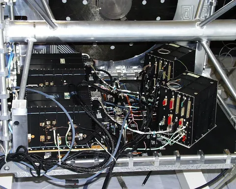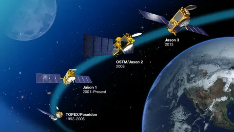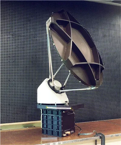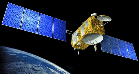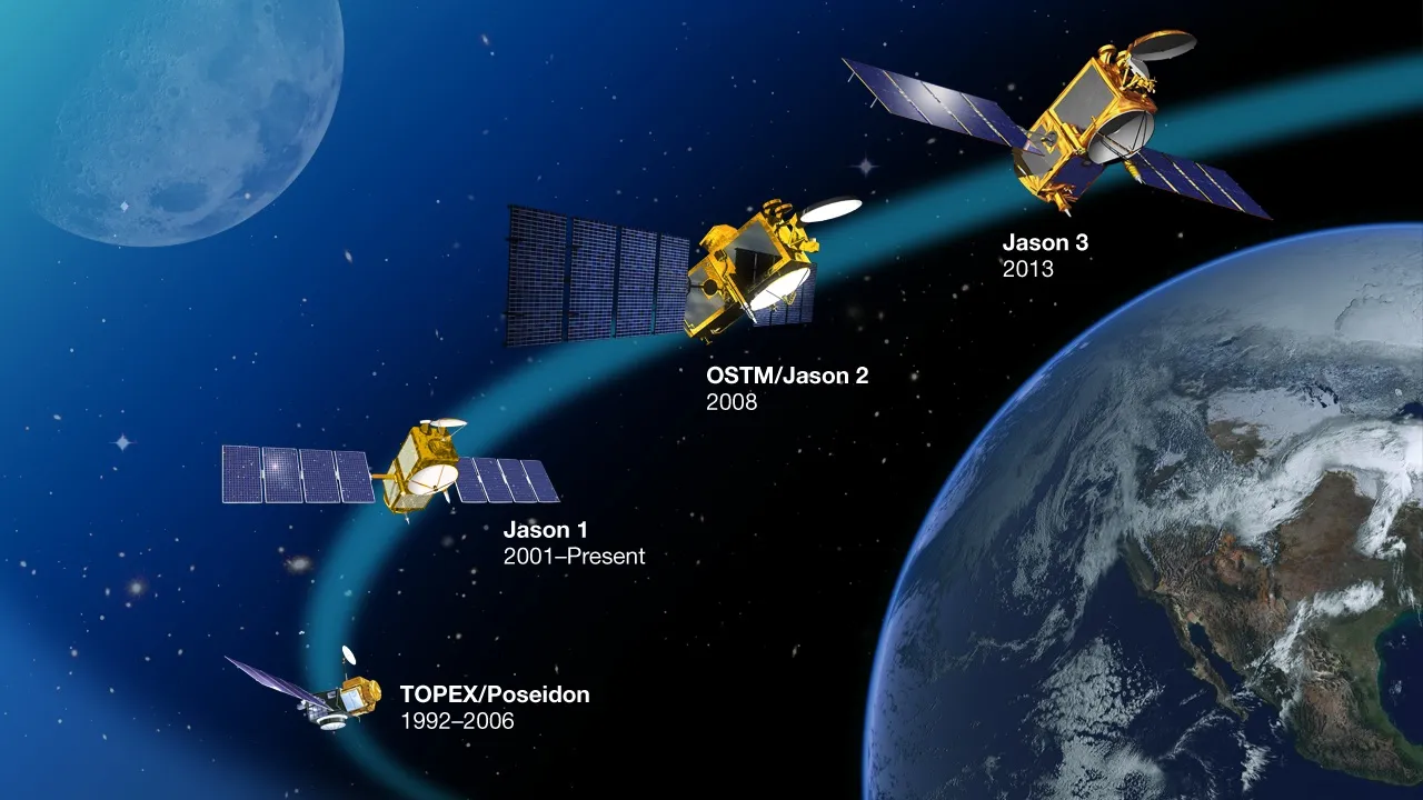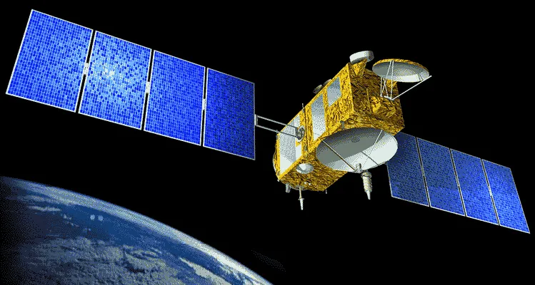

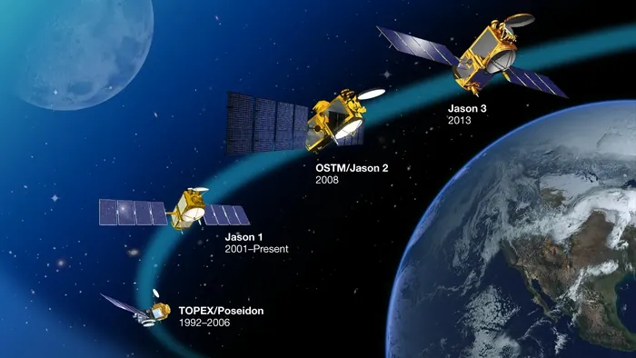
Jason-1 took over the sea-surface height measurement that TOPEX/Poseidon had begun, and the handover was as important as the mission. For a year the two satellites flew in formation just seventy seconds apart, measuring the same water so their instruments could be cross-calibrated against each other.
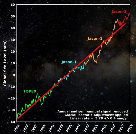
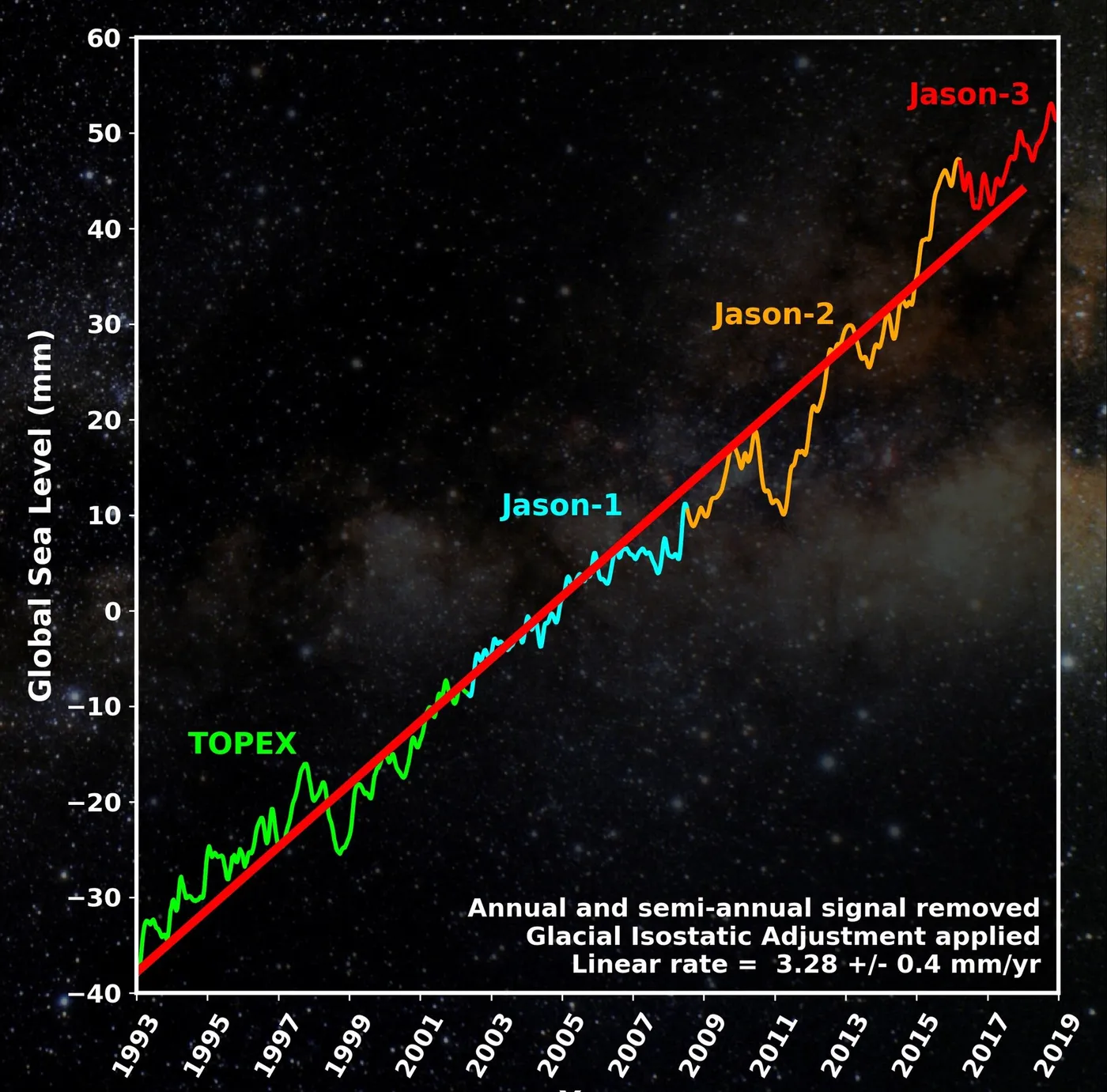
That overlap is what makes a climate record possible. Sea level is rising at a few millimetres a year, and detecting that across successive satellites requires knowing the bias between them to better than a millimetre — which can only be established by having both measure the same ocean at the same time.
It continued the record for eleven years, tracking the acceleration of sea-level rise, mapping ocean currents through the surface topography they create, and monitoring El Niño and La Niña cycles in near real time.
Late in life it was moved into a new orbit to conduct a geodetic mission, flying a much denser grid of ground tracks to map the fine structure of the ocean floor through its gravitational signature on the sea surface — revealing thousands of previously uncharted seamounts.
It failed in 2013 after a power system fault, having already handed over to Jason-2. The series it belongs to has now maintained an unbroken measurement for more than thirty years, and it is among the most frequently cited datasets in climate science.