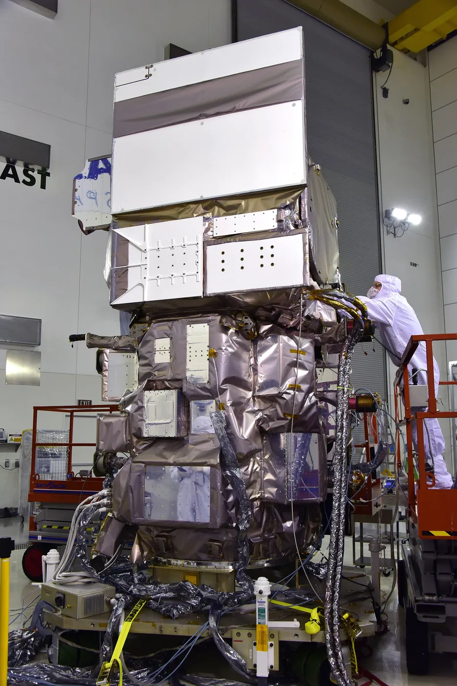

ICESat-2 counts individual photons. Rather than firing powerful laser pulses and measuring the returning energy, it fires a weak green laser ten thousand times a second and detects the handful of photons that come back from each pulse — building elevation from statistics rather than from single strong returns.
The approach avoids the failure mode that crippled its predecessor, whose high-power lasers burned out prematurely, and it gives far denser sampling: six beams in three pairs, measuring slope directly and resolving features a few metres across.
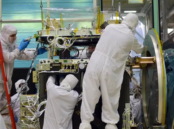
It measures ice sheet elevation to within about four millimetres per year, which is enough to detect thinning across Antarctica and Greenland in fine spatial detail — identifying which glaciers are losing mass and where the losses are propagating inland from the coast.
Its sea ice measurements determine thickness by distinguishing the height of floating ice from the water in the leads between floes, and combined with the earlier record they show Arctic ice continuing to thin and shifting from thick multi-year floes towards thinner seasonal ice.
The instrument turned out to work unexpectedly well through water, mapping shallow sea floors to depths of tens of metres, and through forest canopies, measuring tree height and thus above-ground biomass globally — two substantial applications that were not part of the original mission.