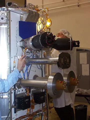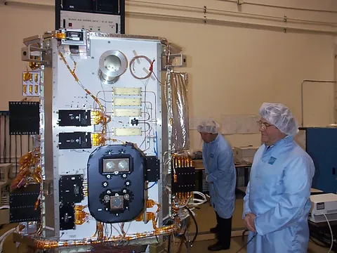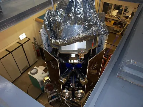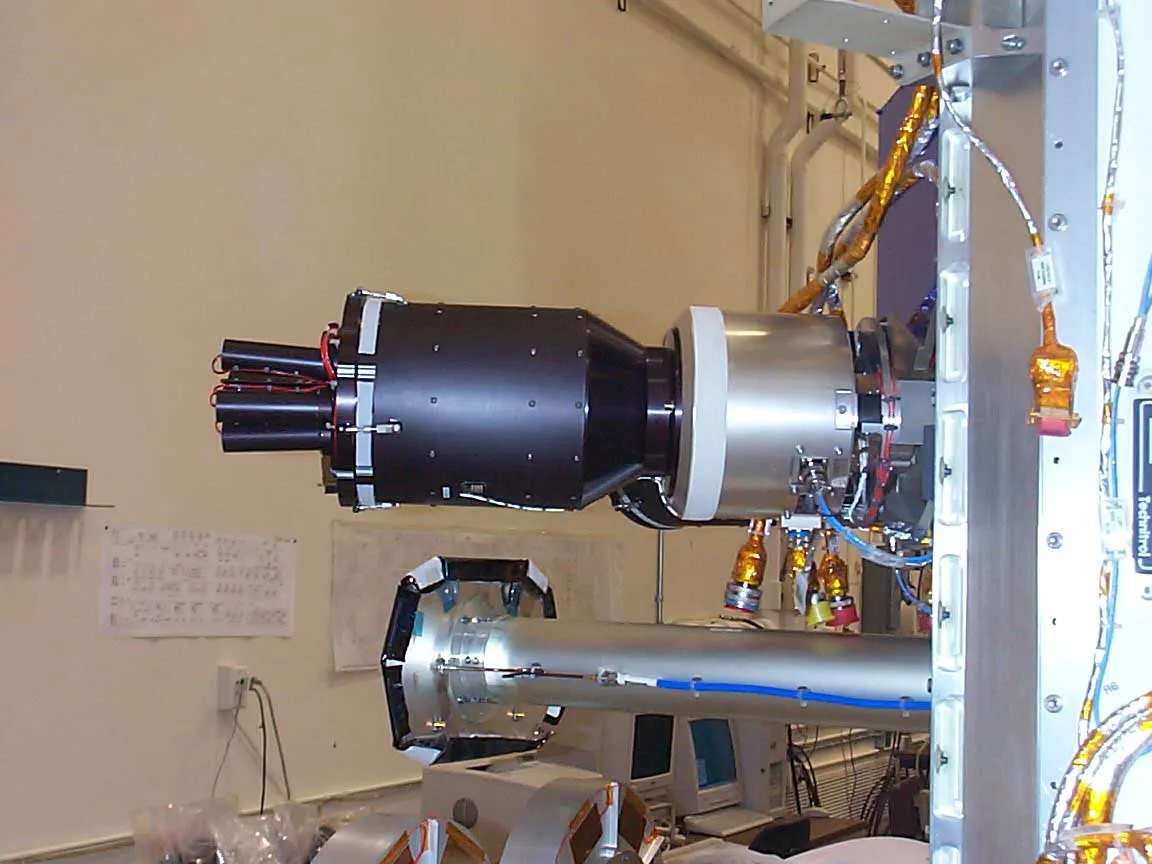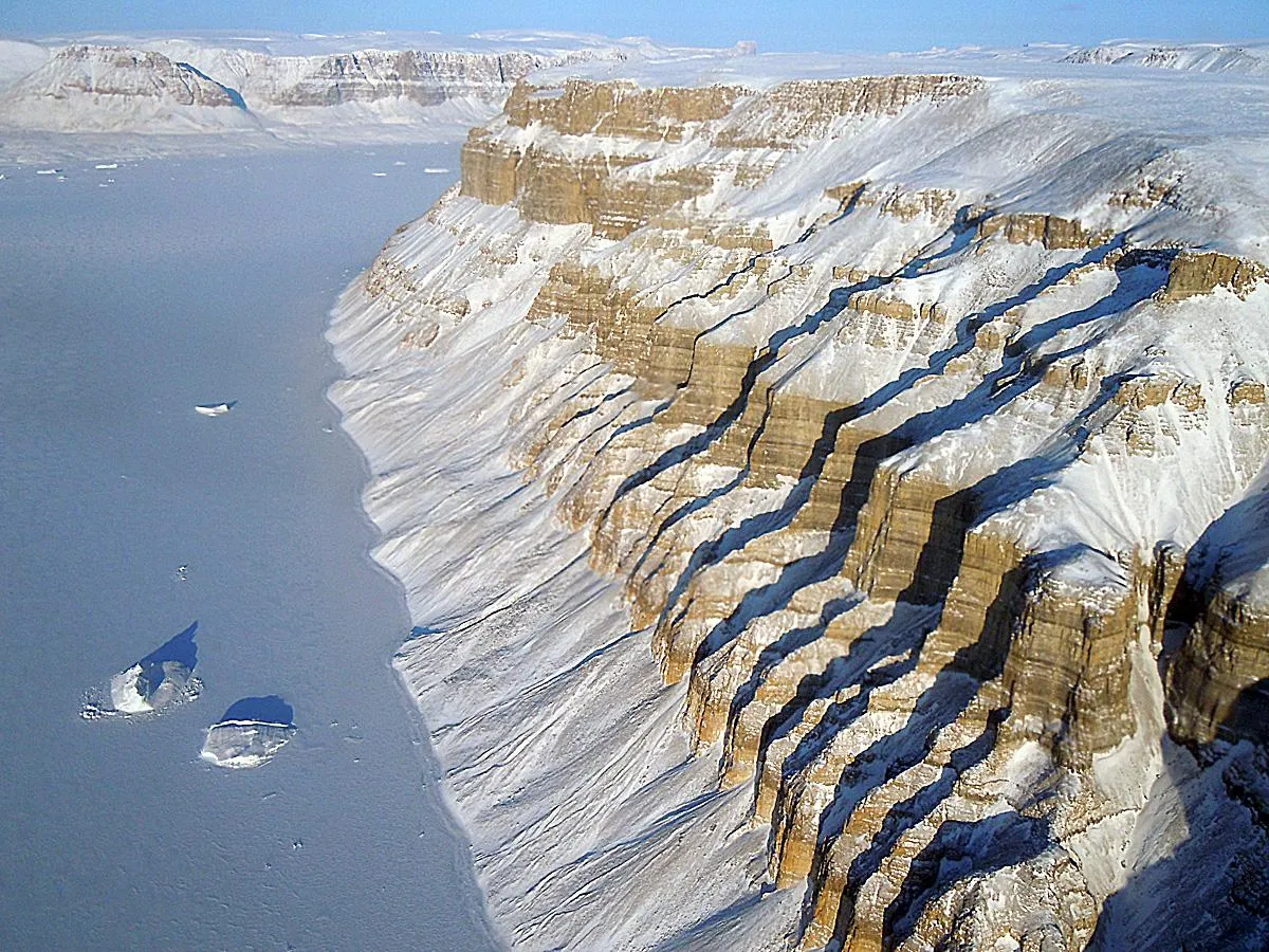

ICESat measured the height of ice sheets with a laser, firing forty pulses a second at the surface and timing their return to determine elevation to within centimetres. Repeating that over years shows whether an ice sheet is thickening or thinning, which is the direct measure of whether it is gaining or losing mass.
The lasers did not last. The first failed after 36 days, far short of its expected life, and analysis suggested a manufacturing flaw affecting all three units. The mission was restructured to operate in campaigns — roughly a month of observations two or three times a year — to stretch the remaining lifetime across as many years as possible.
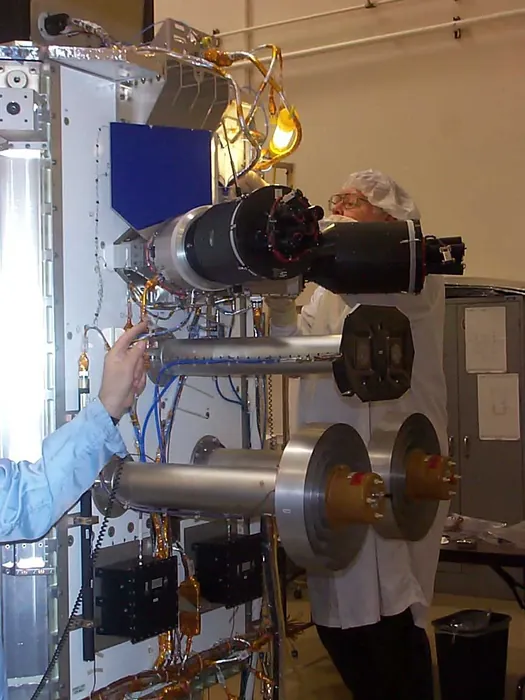
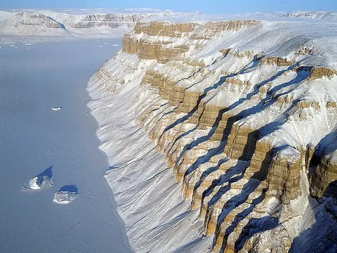
That compromise preserved the science. Campaign-mode operation still produced elevation change measurements over seven years, documenting thinning around the margins of Greenland and in parts of West Antarctica while interiors remained stable or thickened slightly.
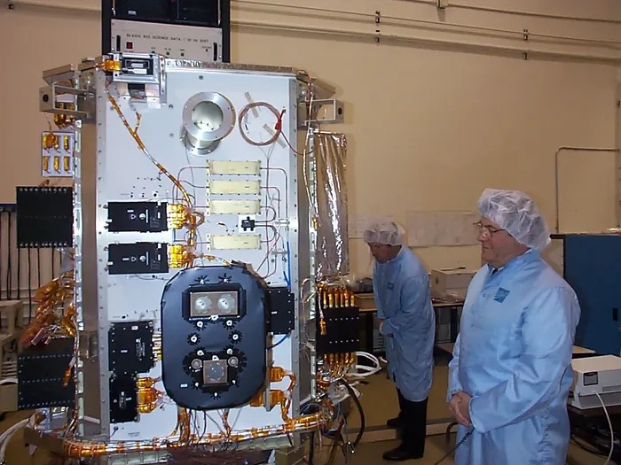
It also measured sea ice freeboard — the height of ice floating above the water — from which thickness can be derived. That turned Arctic sea ice from a two-dimensional extent measurement into a volume, and revealed that the ice was thinning considerably faster than the shrinking area alone suggested.
The mission ended in 2010 when the last laser failed, leaving a gap of eight years before its successor flew. That gap was partially bridged by an aircraft campaign flown specifically to maintain continuity, an expensive improvisation that illustrated how much a broken record costs.