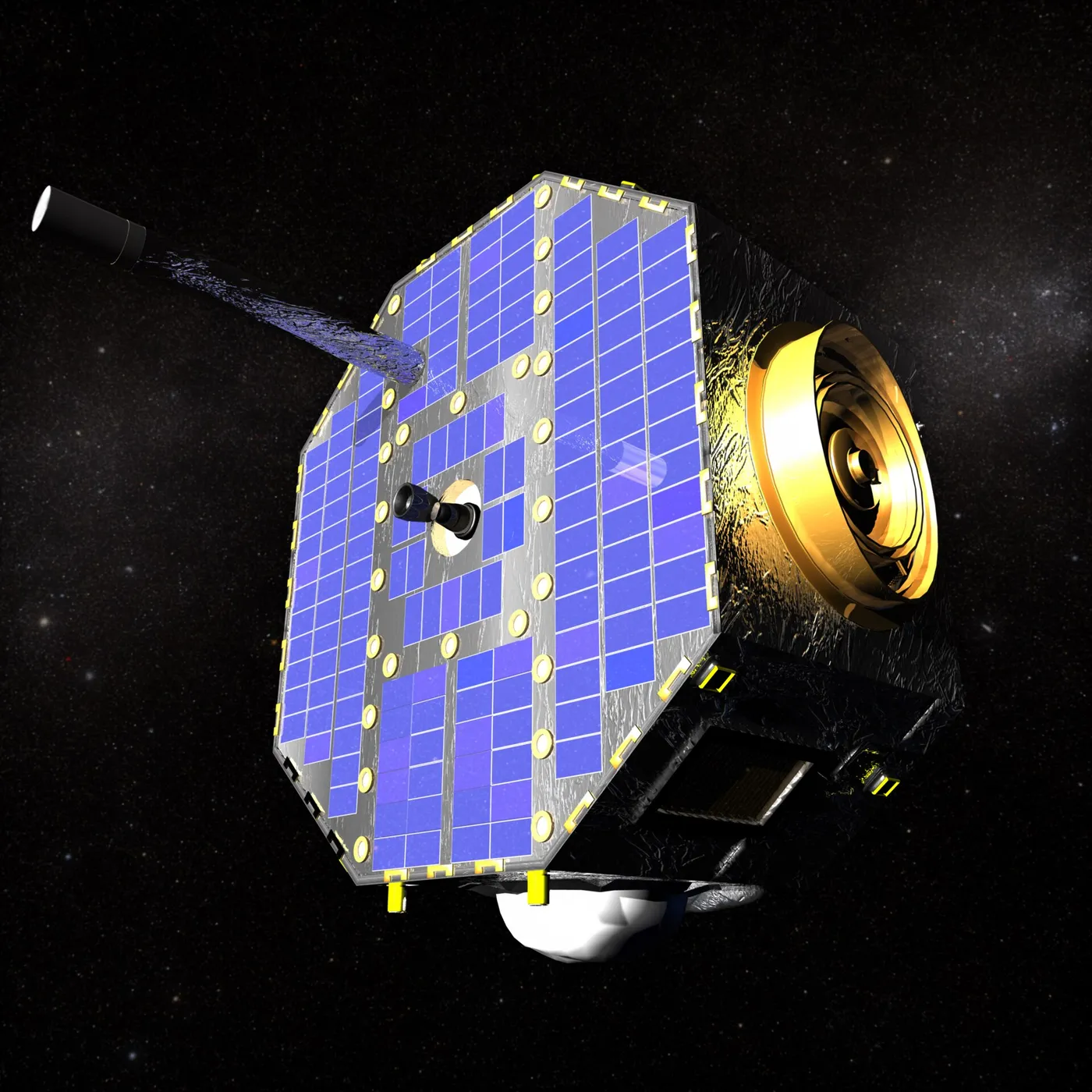

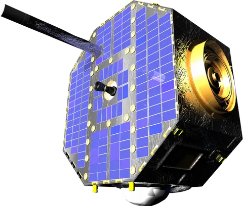
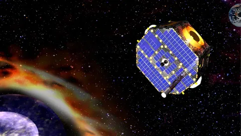
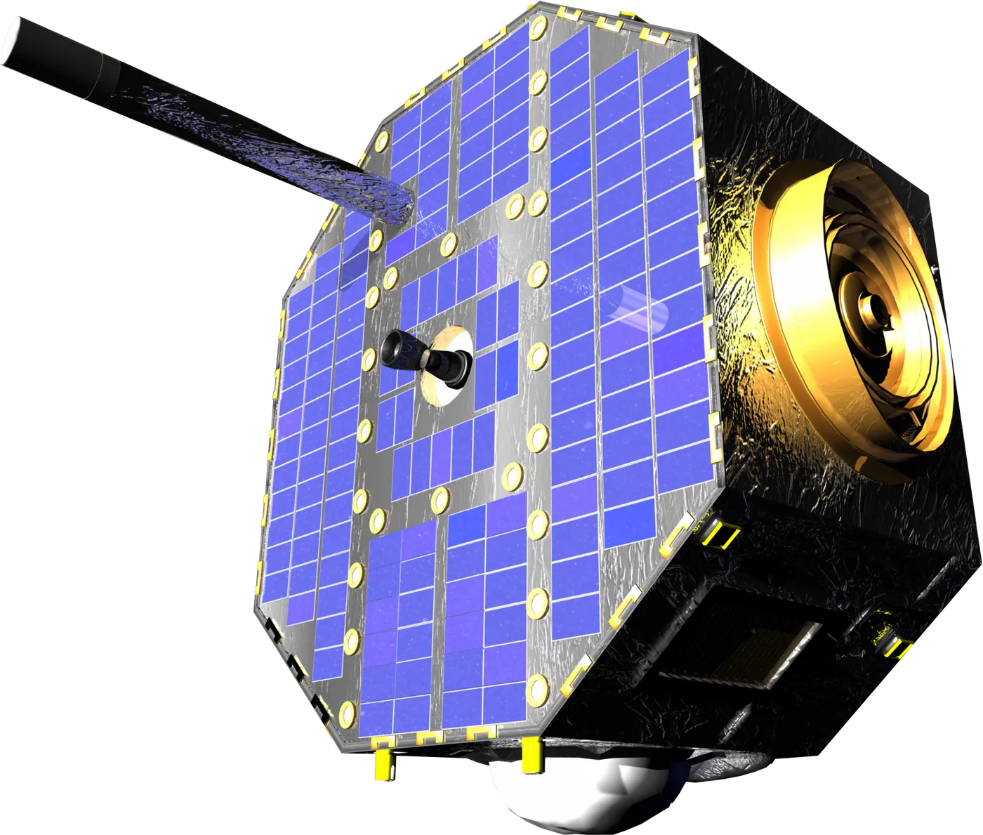
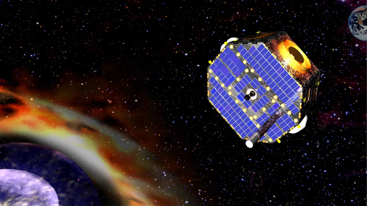
IBEX photographs the edge of the solar system from Earth orbit, using particles rather than light. Neutral atoms created at the heliosphere's boundary — where the solar wind meets interstellar space — travel inward in straight lines, unaffected by magnetic fields, and arrive carrying information about conditions where they formed.
Building an all-sky map from those atoms takes six months as the spacecraft's spin axis follows the Sun. The first map, in 2009, showed something entirely unexpected: a narrow bright ribbon of emission arcing across the sky, unlike anything any model had predicted.
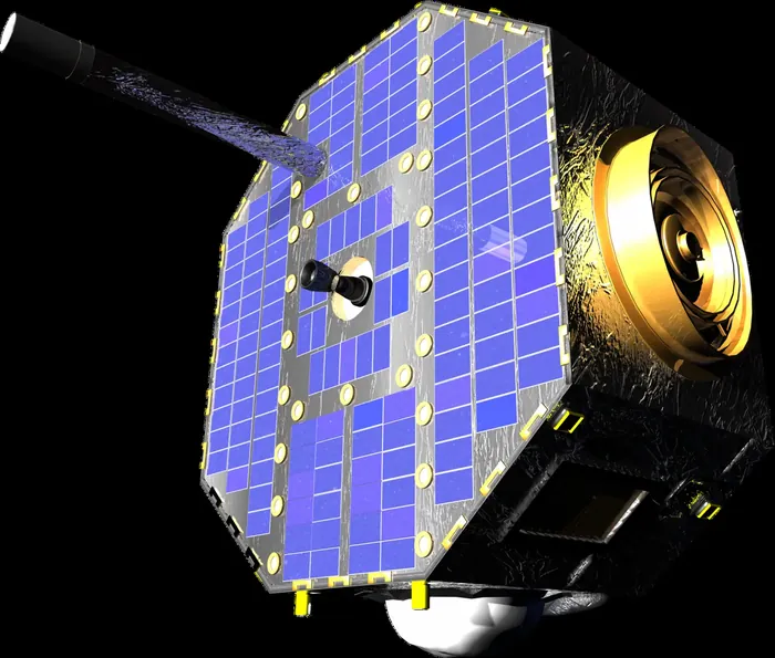
The ribbon has generated a substantial literature and no consensus. The leading explanation involves the interstellar magnetic field draping around the heliosphere and creating a region where particles are preferentially reflected back inward, but the details remain contested more than fifteen years later.
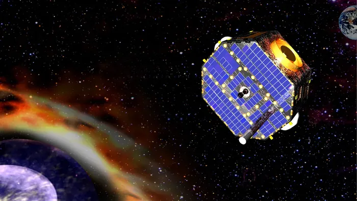
The mission has also tracked how the heliosphere's boundary changes with the solar cycle, contracting and expanding as the solar wind's pressure varies, and measured the interstellar wind flowing past the solar system — refining the speed and direction of our passage through the local galactic medium.
It was a Small Explorer, launched from an aircraft-borne Pegasus rocket for a modest cost, and it has operated for well over fifteen years. Its successor IMAP carries far more capable versions of the same instruments to the Lagrange point.
![the IBEX Lo sensor[1]](https://missionlog.space/static/gallery/thumb/1ae816e5129e7625.webp)

![the IBEX Lo sensor[1]](https://missionlog.space/static/gallery/1ae816e5129e7625.webp)