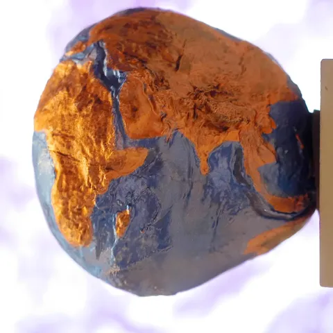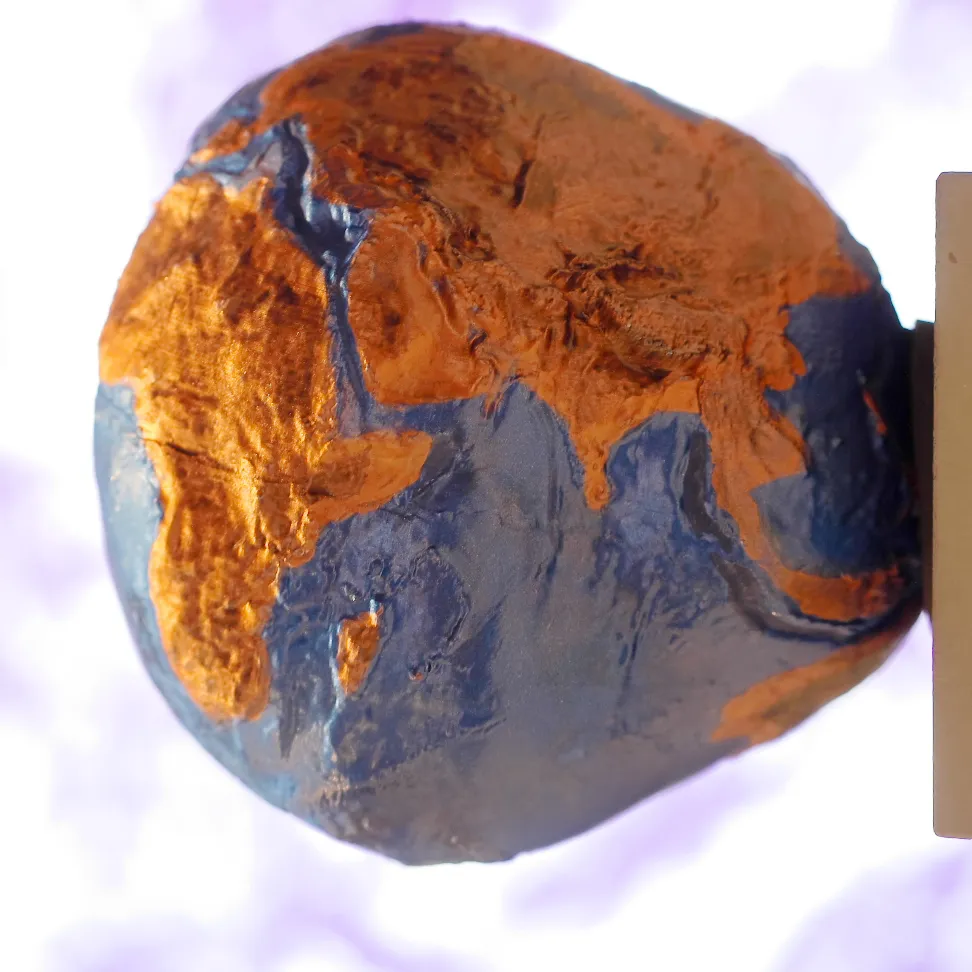

GRACE weighed the Earth's water by measuring gravity, and it did so with two satellites chasing each other 220 kilometres apart. As the leading one passed over a region of greater mass it accelerated fractionally, changing the separation by a few micrometres — detectable by a microwave link between them.
Because gravity depends on mass, and because the mass that moves fastest on Earth is water, the mission effectively tracked water. Month by month it mapped where water was accumulating and disappearing — in ice sheets, aquifers, soil, lakes and the ocean.
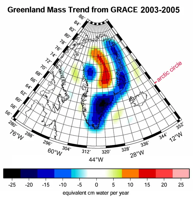
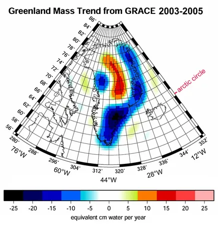
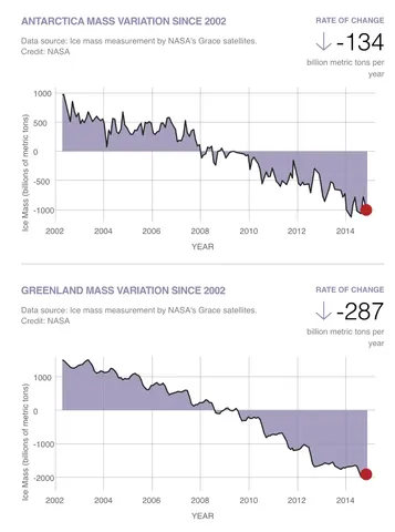
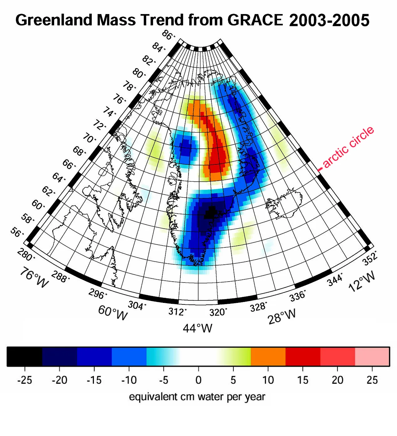
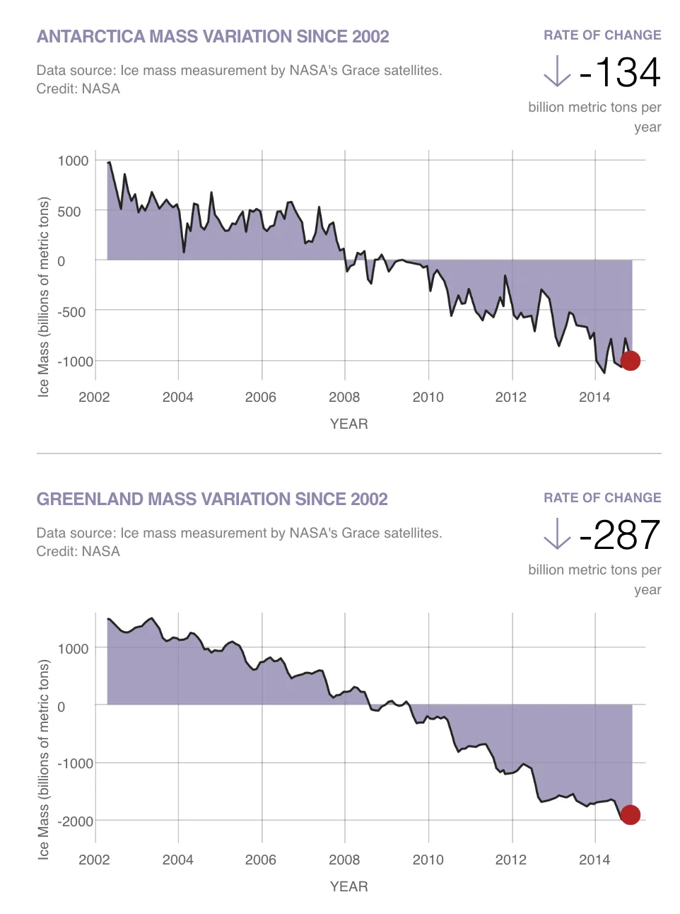
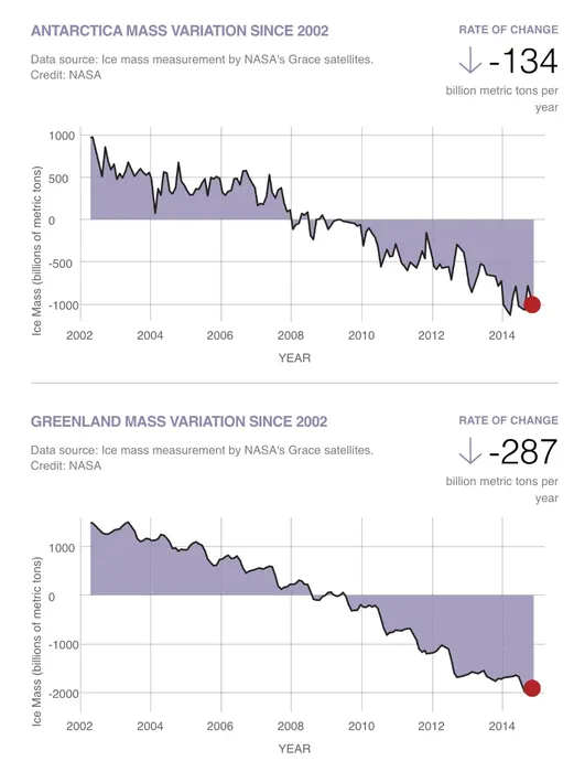
The results were stark. It measured the Greenland and Antarctic ice sheets losing mass at rates that increased over the mission's lifetime, providing the first direct measurement of ice loss rather than an inference from surface elevation or flow speed.
It also revealed groundwater depletion invisible from the surface: aquifers under northern India, the North China Plain, the Middle East and California's Central Valley being drawn down faster than they recharge. In several cases the satellite data was the first quantitative evidence that a region's water use was unsustainable.
The mission operated for fifteen years against a five-year design, ending in 2017 when battery failures on one satellite made further ranging impossible. Its measurements have become a standard input to hydrology, glaciology and sea-level budgets, and its successor continues the record.