
The GOES-R series transformed geostationary weather observation. Its primary imager scans the full Earth disc every ten minutes instead of thirty, at four times the spatial resolution and in sixteen spectral bands rather than five — and it can simultaneously scan smaller regions every thirty seconds.
That last capability is what forecasters value most. A developing thunderstorm can be watched essentially continuously, and the rapid vertical growth that signals an intensifying storm becomes visible in near real time rather than being inferred between half-hourly images.
The satellites also carry the first lightning mapper flown in geostationary orbit, detecting optical flashes across the hemisphere continuously, day and night. A sudden increase in lightning rate often precedes severe weather, giving forecasters a warning signal that ground networks provide only over land.
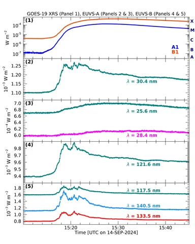
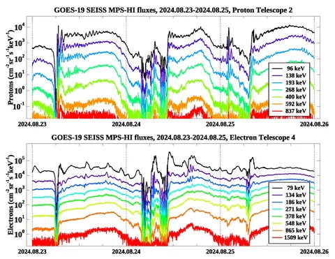
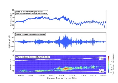
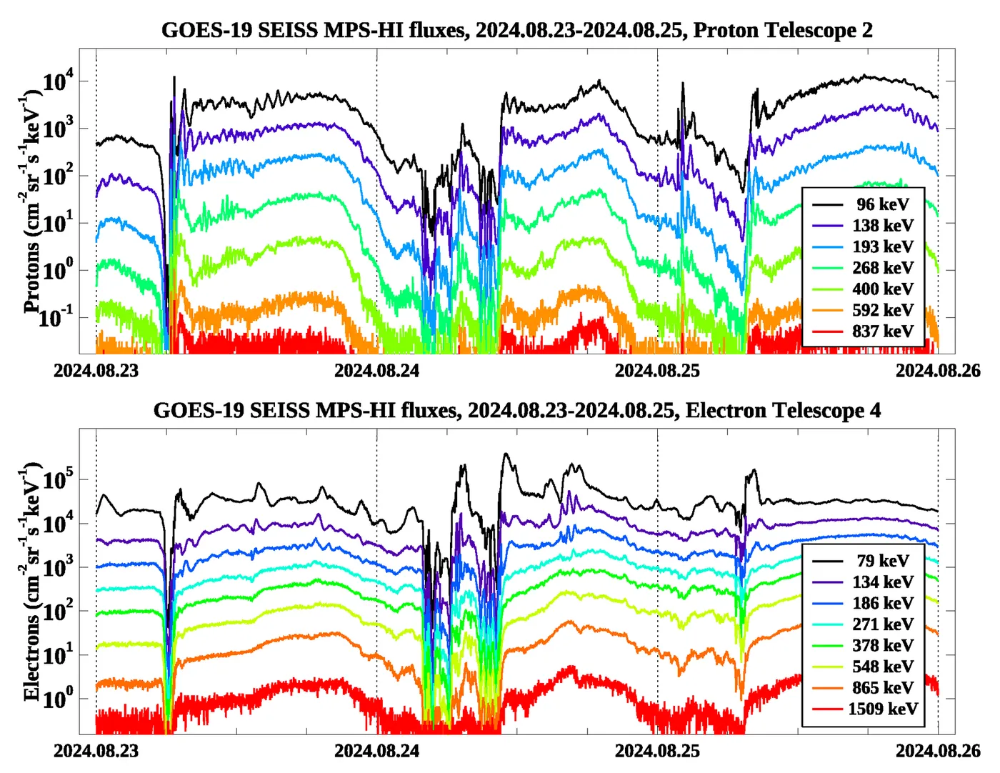
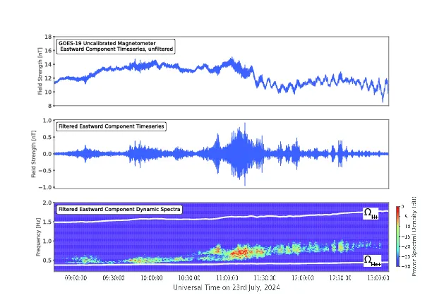
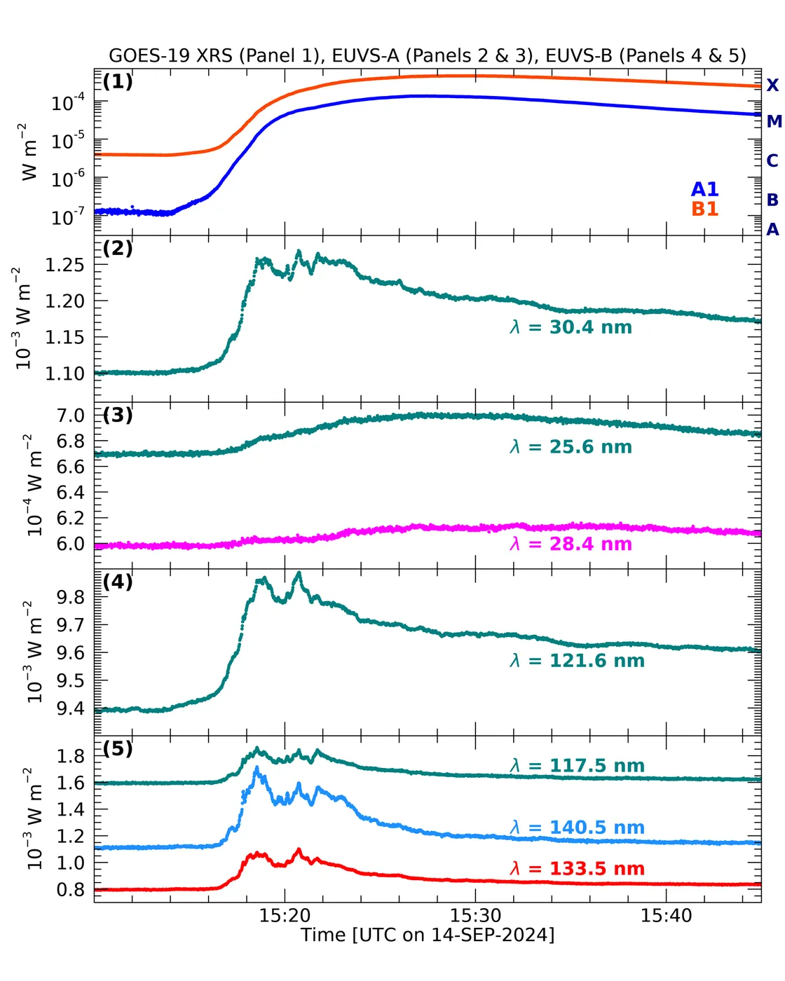
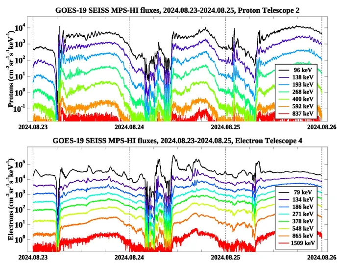
They monitor space weather as well, with solar imagers and particle detectors providing the alerts used to protect satellites and power grids — a secondary mission that has become increasingly prominent.
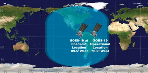
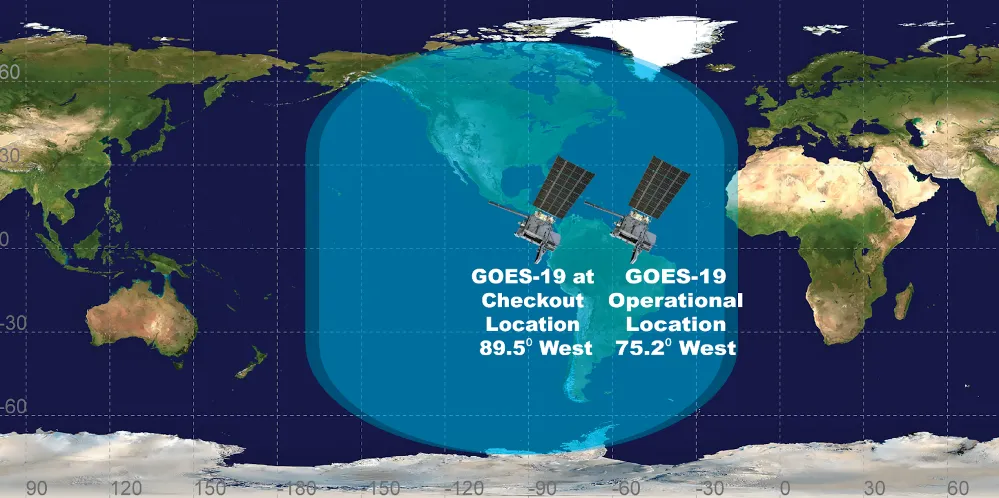
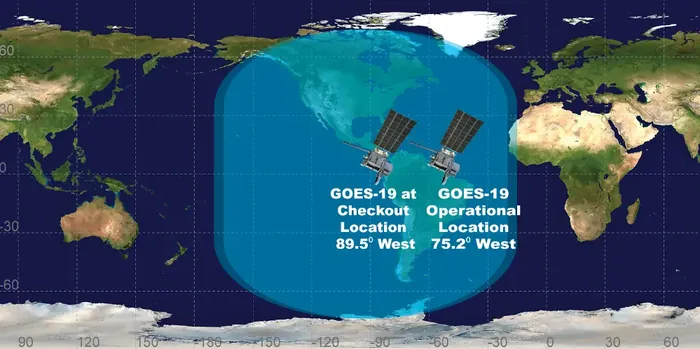
Four satellites in the series have been launched since 2016, providing coverage of the Americas and the surrounding oceans with an on-orbit spare. The improvement in severe weather warning lead times attributable to them has been measured in minutes, which in tornado warnings is the difference that matters.