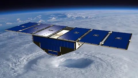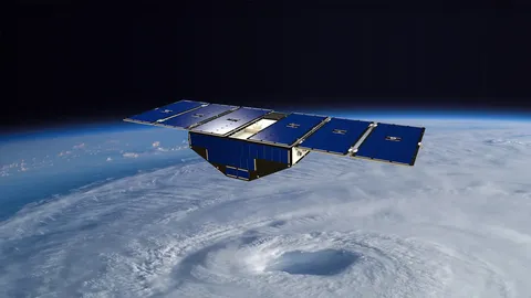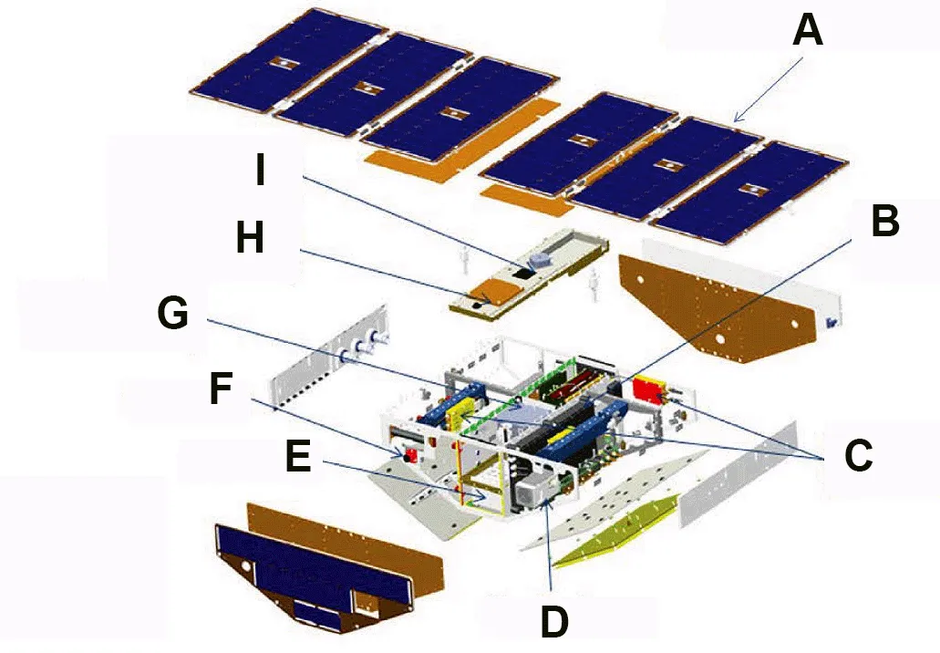

CYGNSS measures hurricane winds using signals that are already there. GPS satellites continuously broadcast towards the Earth, and those signals reflect off the ocean surface; the roughness of the reflection depends on wind speed, so a small receiver can measure wind without transmitting anything itself.
The technique has one decisive advantage: the frequencies GPS uses pass through heavy rain almost unaffected. Conventional scatterometers are blinded precisely where hurricanes are most intense, which is exactly where the measurement is most needed.
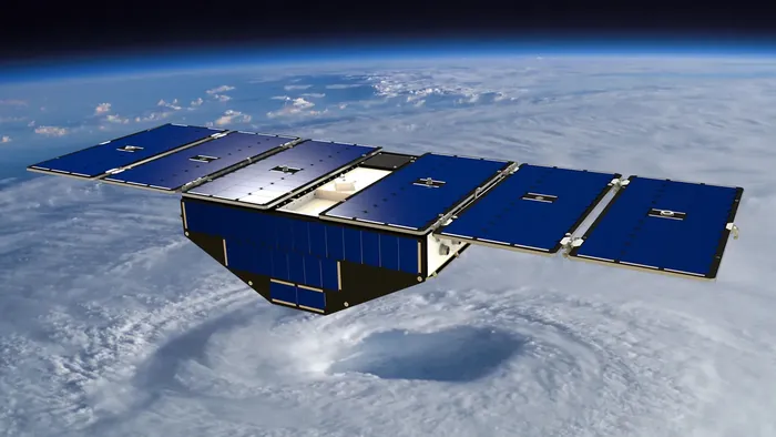
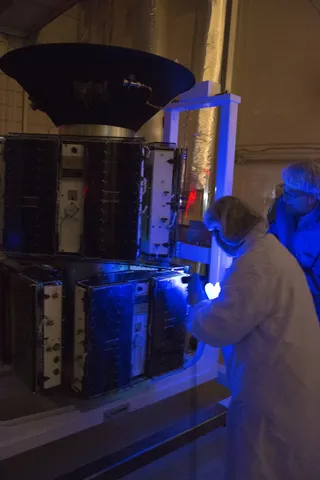
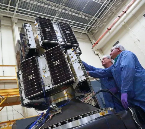
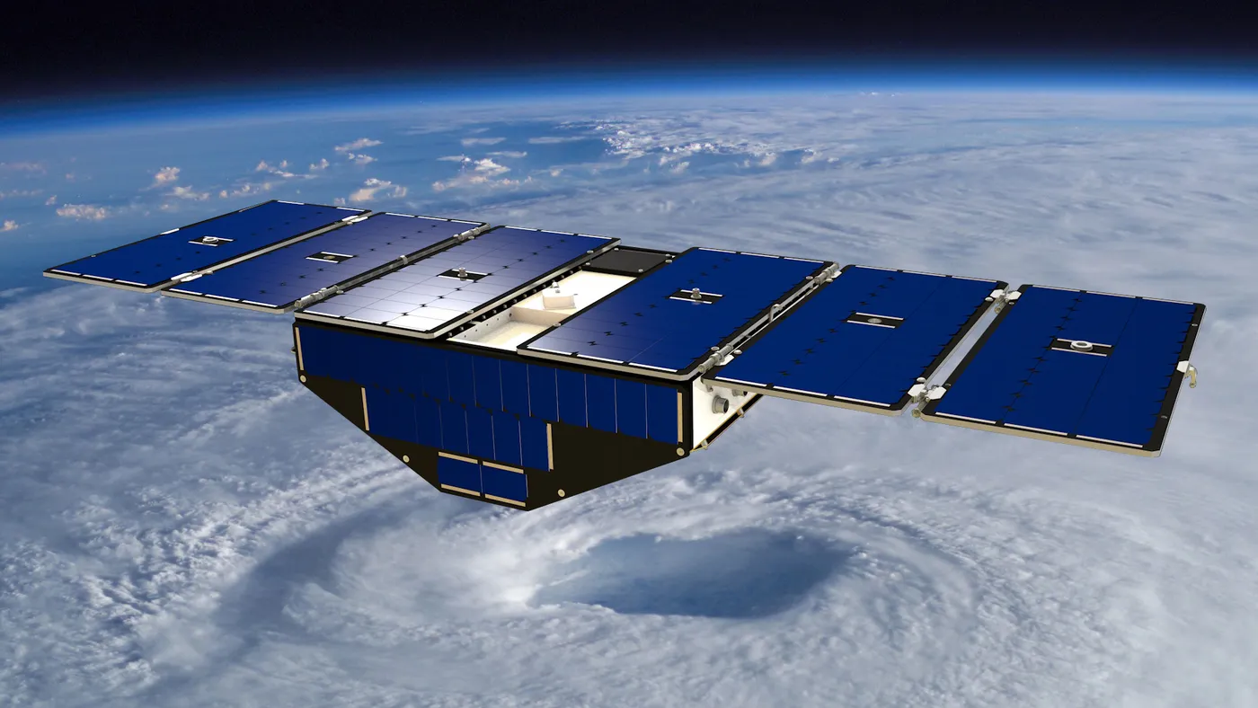
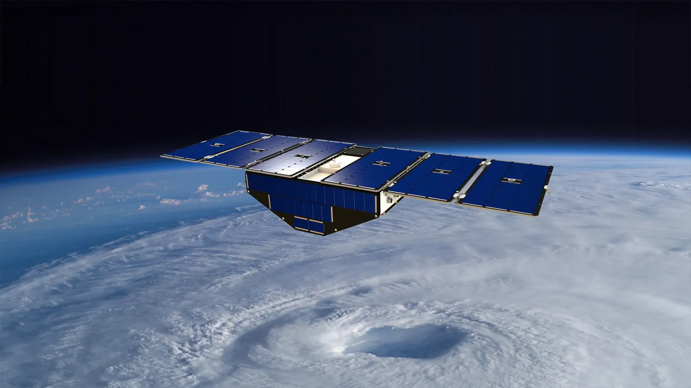
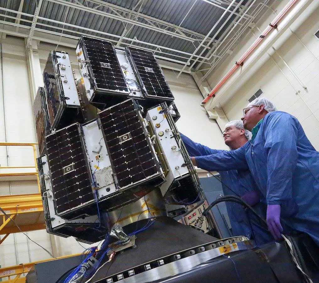
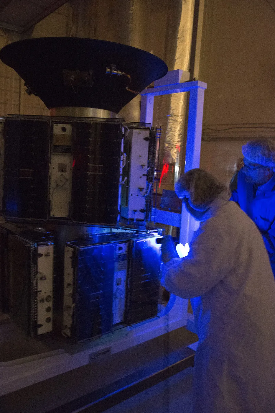
Eight microsatellites, each weighing under thirty kilograms, were launched together from an aircraft-borne rocket. Distributed around the same orbit they provide frequent revisits over the tropics, sampling a developing storm several times a day rather than once every couple of days.
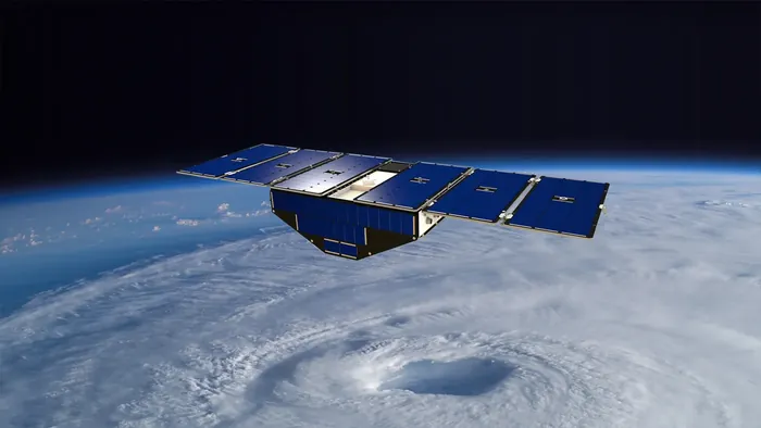
The mission demonstrated that a constellation of very small, cheap spacecraft could deliver a measurement previously requiring large satellites — an argument that has since been applied to a range of Earth observation problems.
Its data has been used beyond hurricanes, including for mapping soil moisture, flood inundation under vegetation canopies and even the extent of wetlands, since reflected GPS signals behave differently over water and land. Several spacecraft have been retired as the constellation ages.