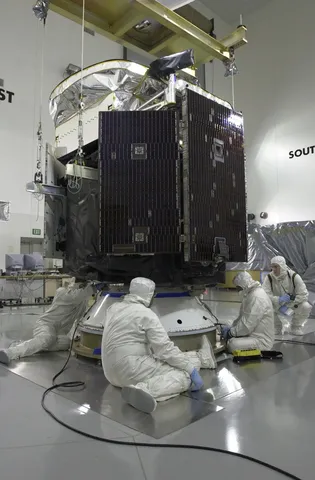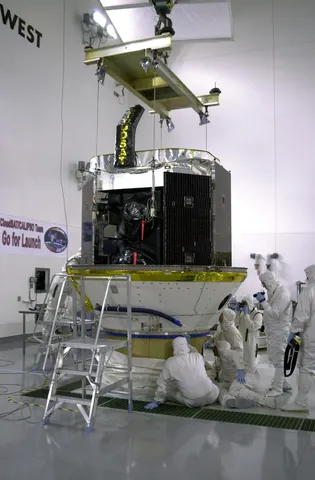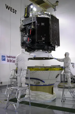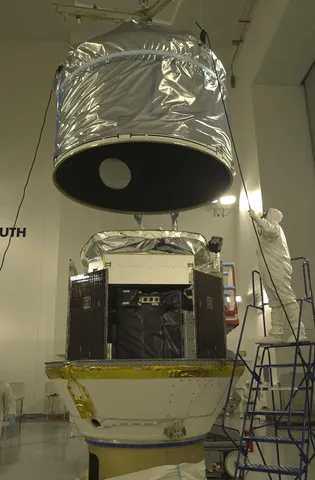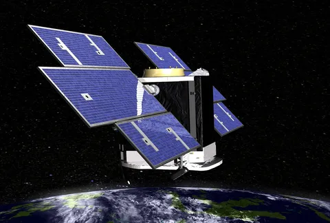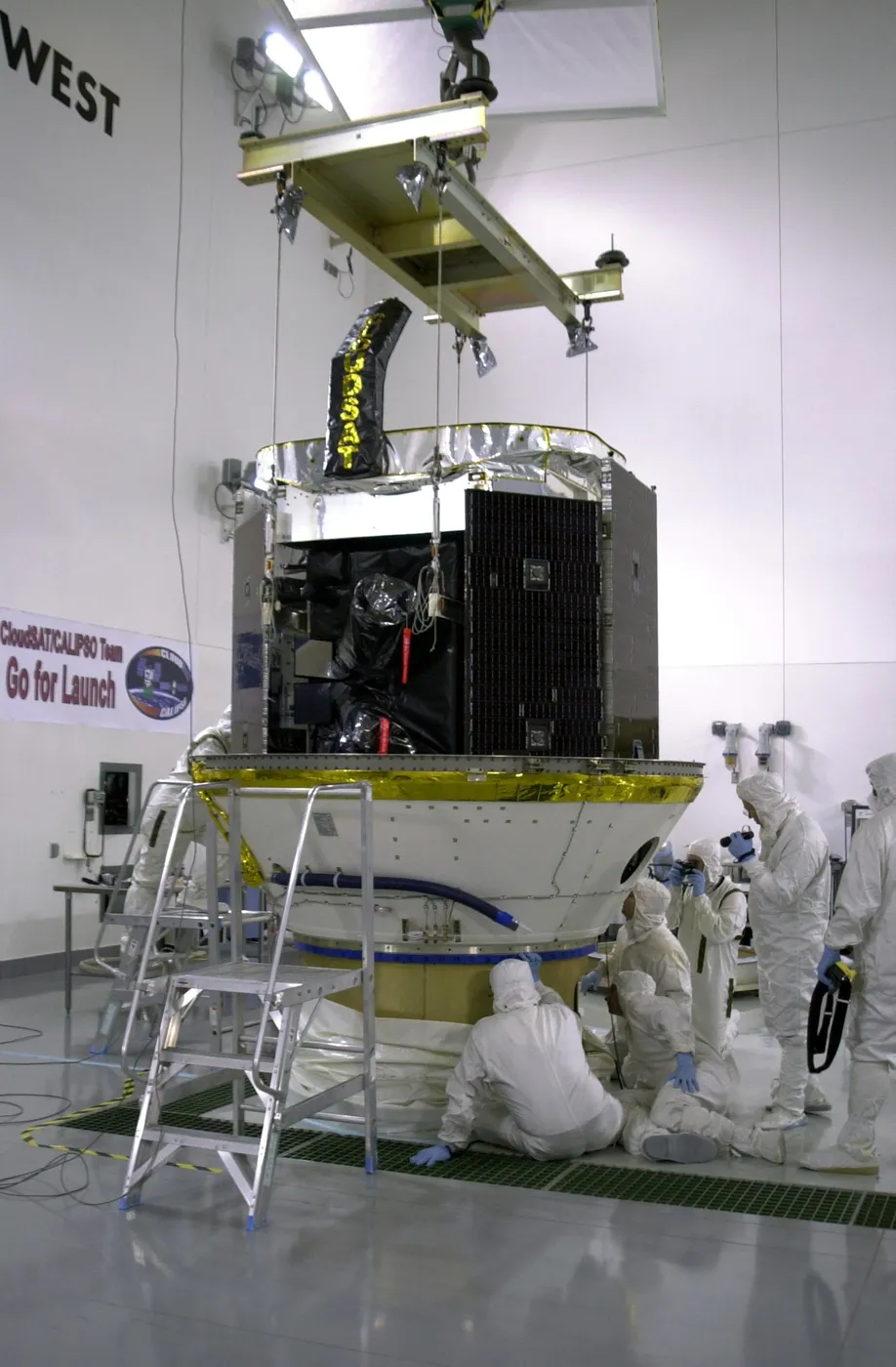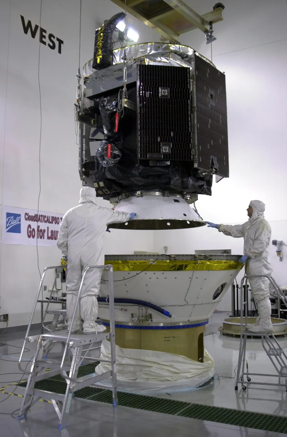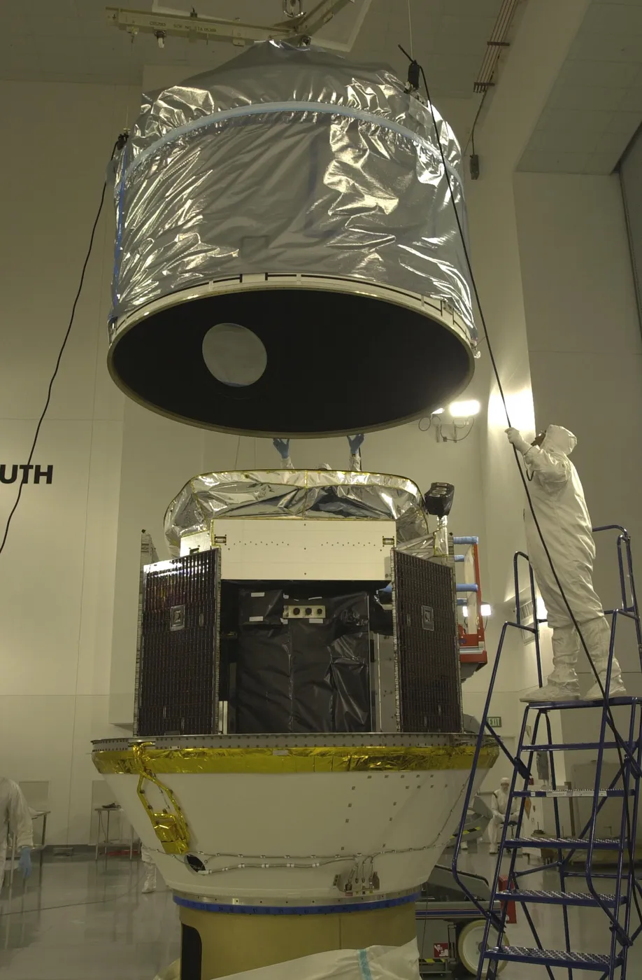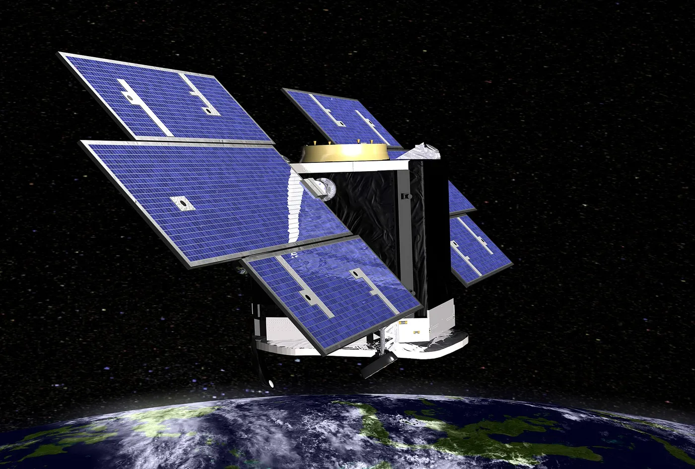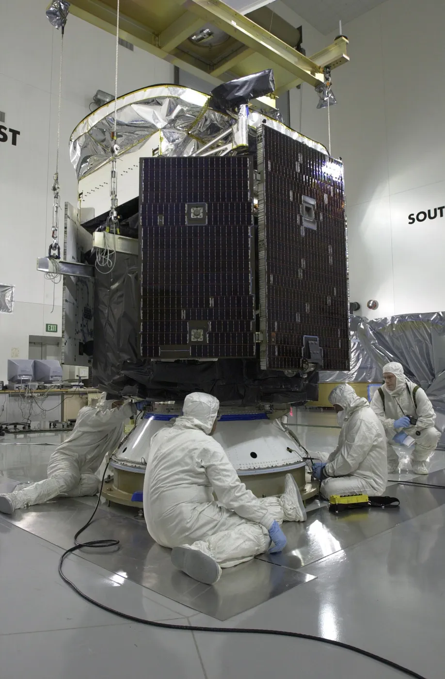

CloudSat carried a radar tuned to see clouds themselves rather than the rain falling from them. Weather radars are designed to detect raindrops and deliberately ignore the much smaller droplets that make up cloud; this instrument was about a thousand times more sensitive, and it sliced vertically through cloud systems as it passed.
That vertical profile was the missing dimension. Satellites had mapped cloud cover from above for decades, but cloud cover says nothing about thickness, layering or water content — and clouds are the largest single uncertainty in climate models, because whether they warm or cool the planet depends on exactly those properties.
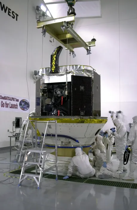
It revealed how much cloud is layered and multi-decked, how often precipitation evaporates before reaching the ground, and how thin high-altitude ice clouds — which warm the surface — are distributed globally. Models were adjusted substantially in response.
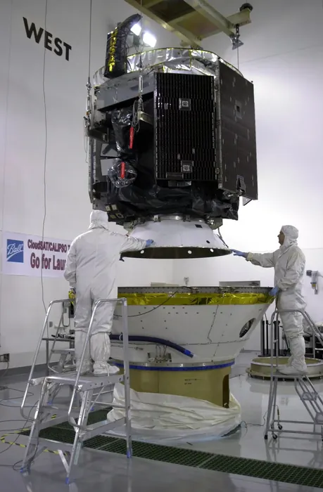
It flew in the A-Train seconds behind CALIPSO, so the radar and the lidar sampled the same clouds — the radar seeing large particles and precipitation, the lidar seeing thin cloud and aerosol. The combination was far more powerful than either alone.
Designed for two years, it operated for eighteen. A battery problem in 2011 forced it into a daylight-only mode, and after leaving the A-Train in 2018 it continued in a lower orbit until 2023, when it was retired and lowered for eventual re-entry.