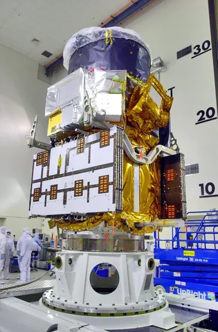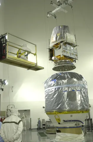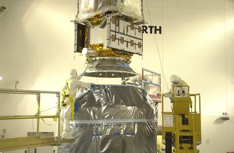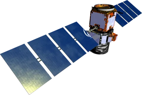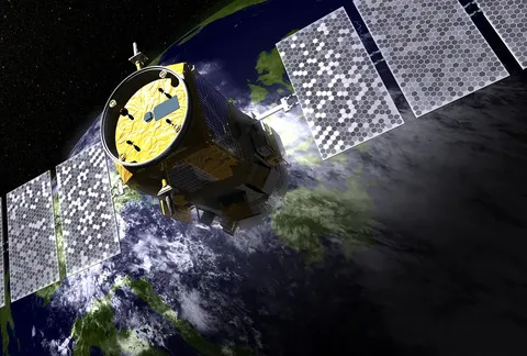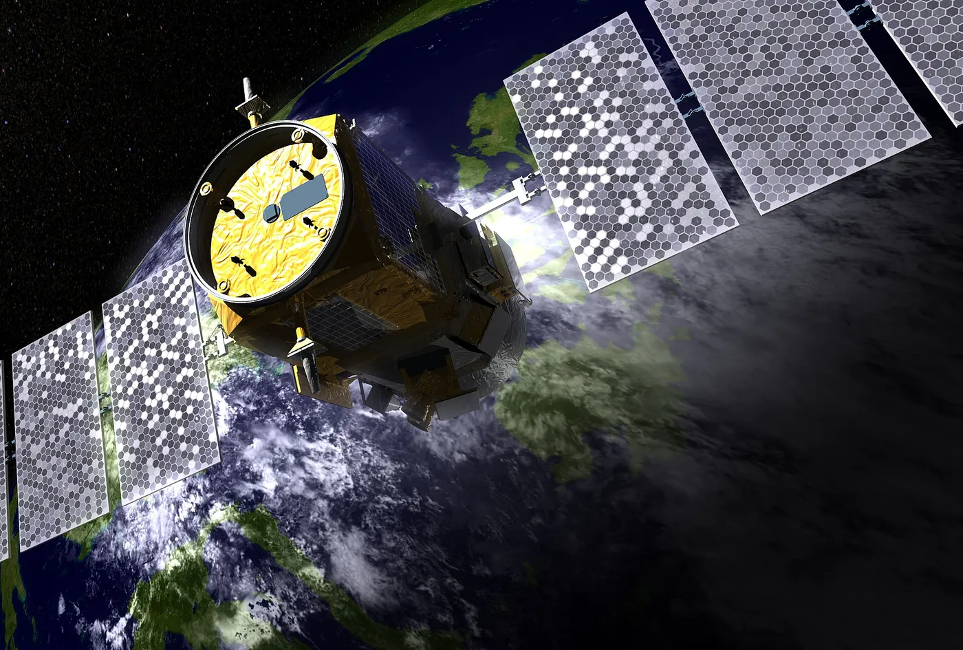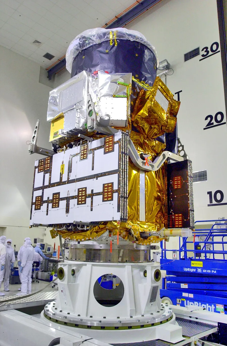

CALIPSO fired a laser downward and measured the light scattered back, building a vertical curtain through the atmosphere that showed exactly where aerosol layers and thin clouds sat. Aerosols — dust, smoke, sulphates, sea salt — had been measured as total column amounts for years, but their altitude was largely unknown.
Altitude matters enormously. An aerosol layer above cloud has a very different radiative effect from one below it, and smoke lofted into the stratosphere persists for years while the same smoke near the surface washes out in days. The mission turned a two-dimensional map into a three-dimensional one.
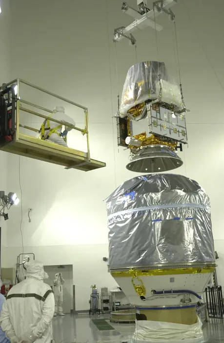
It tracked Saharan dust crossing the Atlantic to fertilise the Amazon, Asian pollution reaching North America, and smoke from extreme wildfires reaching the stratosphere in quantities comparable to a volcanic eruption. It also measured the vertical structure of the polar stratospheric clouds involved in ozone destruction.
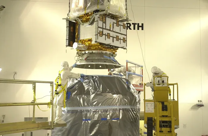
Its polarisation measurements distinguished ice from liquid water and spherical from irregular particles, allowing cloud phase and dust type to be identified — information that feeds directly into how clouds are represented in climate models.
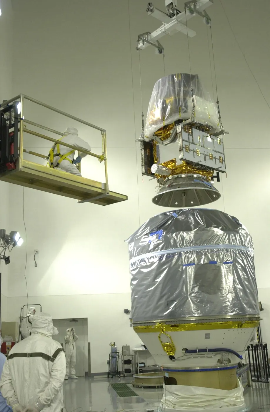
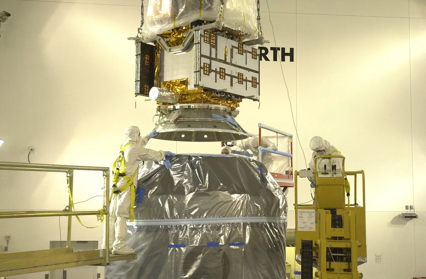
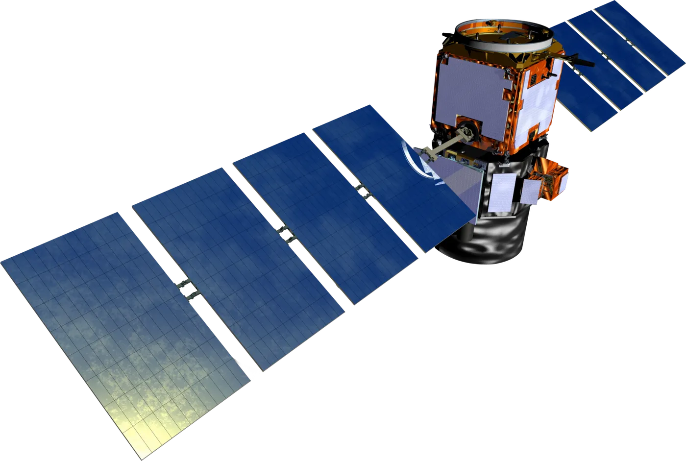
A joint American and French mission flying with CloudSat in the A-Train, it operated for seventeen years against a three-year design life and was retired in 2023. Its combined record with CloudSat remains the reference dataset for the vertical structure of the atmosphere.