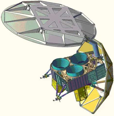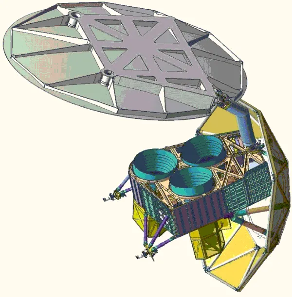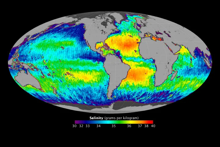

Aquarius measured the saltiness of the ocean from space, which is harder than it sounds. Salinity changes the microwave emission of seawater only slightly, and detecting variations of a fraction of a gram per kilogram requires a radiometer of extraordinary stability against a signal dominated by temperature and surface roughness.
The point was to trace the water cycle. Evaporation leaves salt behind and rainfall dilutes it, so surface salinity is effectively a rain gauge for the oceans — where most of the world's precipitation falls and almost none of it is measured. It also drives ocean circulation, since salty water is denser and sinks.
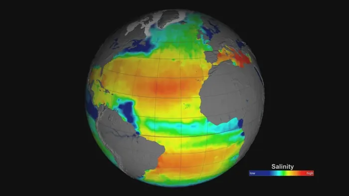
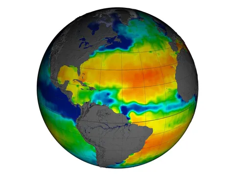
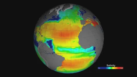
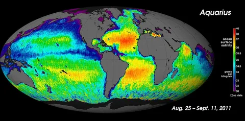
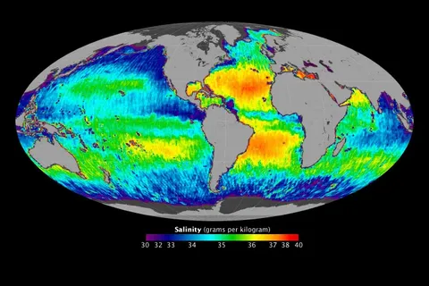
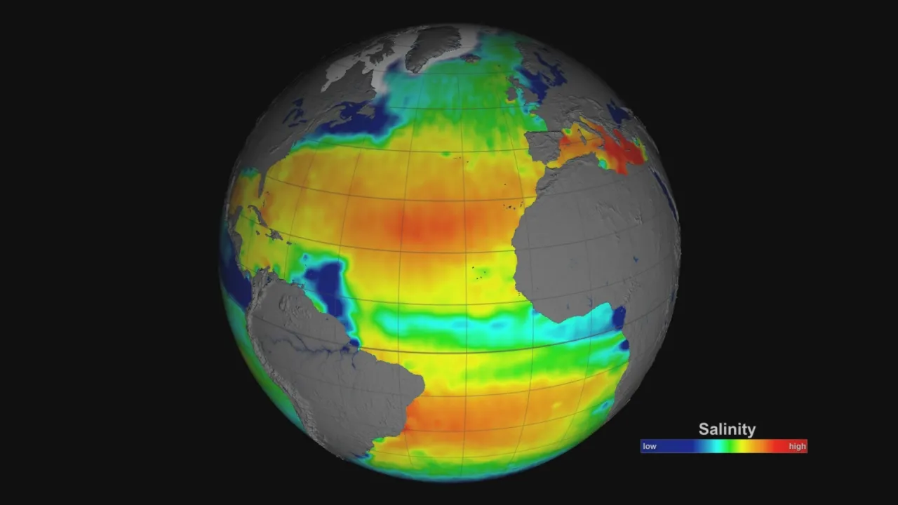
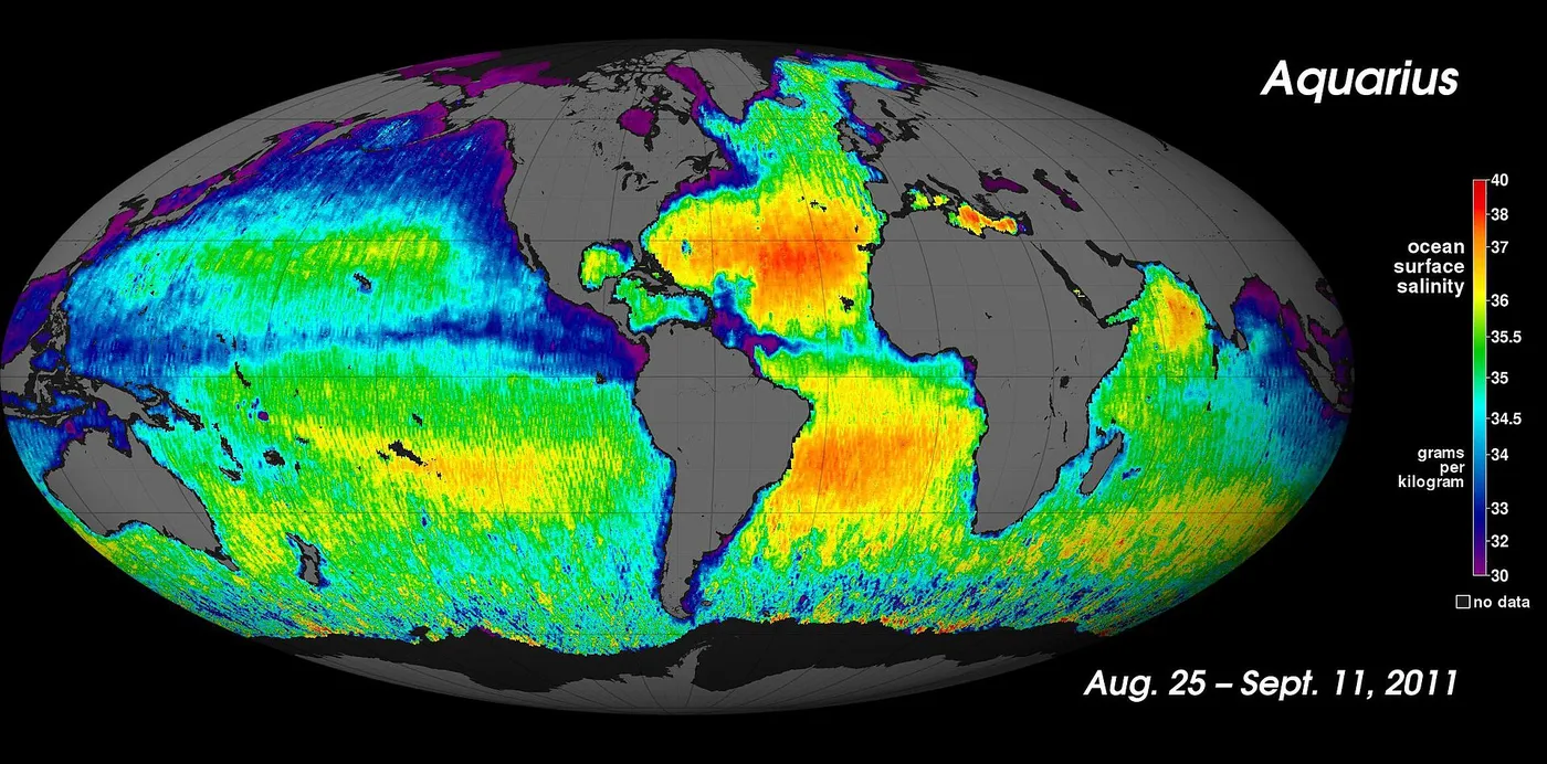
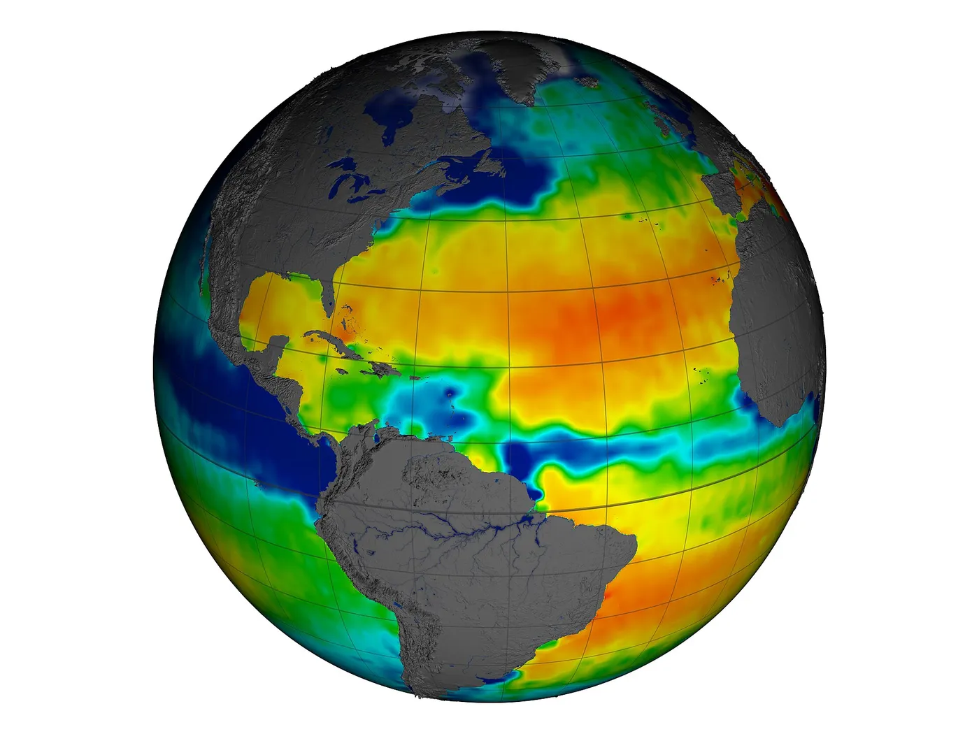
The mission mapped the global salinity field for the first time, revealing its seasonal cycle, the freshwater plumes of major rivers extending hundreds of kilometres offshore, and the salty subtropical gyres where evaporation dominates.
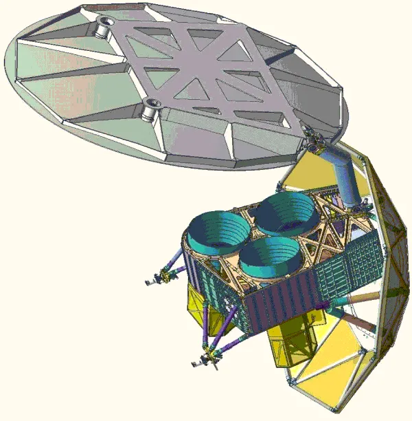
It was a joint mission with Argentina, whose space agency built the spacecraft while NASA provided the primary instrument — one of several partnerships that gave smaller national programmes access to flagship-class science.
It ended abruptly in 2015 when a power system component failed on the Argentine spacecraft bus, after just under four years. The measurement has been continued by a European mission using a different technique, and the short overlap between them has complicated the calibration of the combined record.